| Memorials | : | 4 |
| Location | : | Mellor, Metropolitan Borough of Stockport, England |
| Phone | : | 1614845079 |
| Coordinate | : | 53.3970440, -2.0277450 |
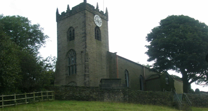
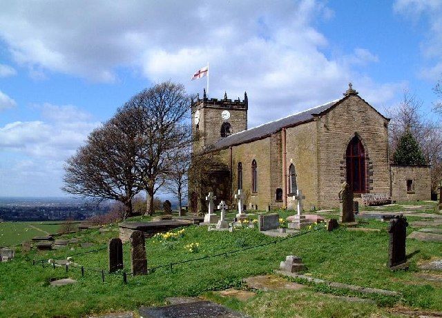
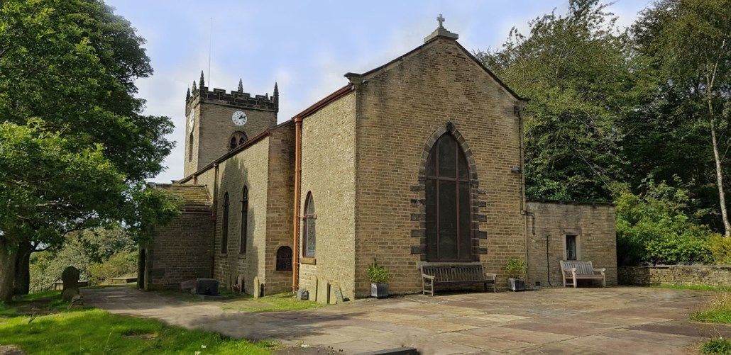
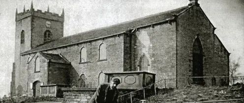
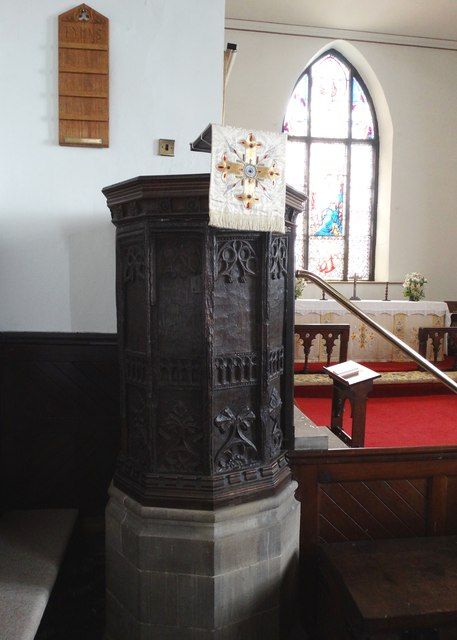
| Description | : | Originally known as St. Thomas the Apostle Church, Mellor, Derbyshire-the first stone building was probably erected in early 14th century. In 1783 the walls were rebuilt and galleries were constructed on south & east walls. At this time the church could seat 700 people. In1815 a new entrance and porch were built and the south wall repaired. In 1827-9 the chancel and north wall were reconstructed to designs by the Antiquarian Thomas Rickman. In 1885 the east gallery was removed and in the first decade of the 20th century the south & west galleries were demolished. In 1960 death watch... Read More |
frequently asked questions (FAQ):
-
Where is St. Thomas Churchyard?
St. Thomas Churchyard is located at Church Road Mellor, Metropolitan Borough of Stockport ,Greater Manchester , SK6 5LXEngland.
-
St. Thomas Churchyard cemetery's updated grave count on graveviews.com?
1 memorials
-
Where are the coordinates of the St. Thomas Churchyard?
Latitude: 53.3970440
Longitude: -2.0277450
Nearby Cemetories:
1. All Saints Churchyard
Marple, Metropolitan Borough of Stockport, England
Coordinate: 53.3889850, -2.0597220
2. Thornsett Cemetery
New Mills, High Peak Borough, England
Coordinate: 53.3777150, -1.9873620
3. Mount Pleasant Methodist Free Chapel
New Mills, High Peak Borough, England
Coordinate: 53.3683310, -2.0012190
4. New Mills Wesleyan Cemetery
New Mills, High Peak Borough, England
Coordinate: 53.3693695, -1.9974647
5. Church of the Annunciation St Mary's Catholic
New Mills, High Peak Borough, England
Coordinate: 53.3664315, -2.0050768
6. St. George's Churchyard
New Mills, High Peak Borough, England
Coordinate: 53.3658550, -1.9940870
7. Saint Chad's Churchyard
Romiley, Metropolitan Borough of Stockport, England
Coordinate: 53.4128520, -2.0896350
8. Saint Mary's Parish Church
Disley, Cheshire East Unitary Authority, England
Coordinate: 53.3574410, -2.0397980
9. St. John the Evangelist Churchyard
Charlesworth, High Peak Borough, England
Coordinate: 53.4327430, -1.9945570
10. St. Mary's Independent Chapel
Charlesworth, High Peak Borough, England
Coordinate: 53.4317127, -1.9856703
11. Hatherlow United Reformed Church Cemetery
Romiley, Metropolitan Borough of Stockport, England
Coordinate: 53.4107180, -2.0989830
12. Hatherlow Chapel Cemetery
Bredbury, Metropolitan Borough of Stockport, England
Coordinate: 53.4109259, -2.0992592
13. Holy Trinity Churchyard
Gee Cross, Metropolitan Borough of Tameside, England
Coordinate: 53.4393900, -2.0645500
14. Hayfield Cemetery
Hayfield, High Peak Borough, England
Coordinate: 53.3787660, -1.9527010
15. Hyde Chapel Chapelyard
Gee Cross, Metropolitan Borough of Tameside, England
Coordinate: 53.4374900, -2.0728100
16. St. Matthew's Churchyard
Hayfield, High Peak Borough, England
Coordinate: 53.3794310, -1.9461140
17. Highfield Cemetery
Bredbury, Metropolitan Borough of Stockport, England
Coordinate: 53.4133310, -2.1111320
18. Hyde Cemetery
Hyde, Metropolitan Borough of Tameside, England
Coordinate: 53.4437910, -2.0684130
19. Saint Mark Churchyard
Bredbury, Metropolitan Borough of Stockport, England
Coordinate: 53.4241160, -2.1051390
20. Norbury St Thomas Churchyard
Hazel Grove, Metropolitan Borough of Stockport, England
Coordinate: 53.3761440, -2.1160440
21. St George Churchyard
Hyde, Metropolitan Borough of Tameside, England
Coordinate: 53.4466540, -2.0789750
22. St. Michael Churchyard
Mottram in Longdendale, Metropolitan Borough of Tameside, England
Coordinate: 53.4544040, -2.0101460
23. Mottram Cemetery
Mottram in Longdendale, Metropolitan Borough of Tameside, England
Coordinate: 53.4546420, -2.0086900
24. Saint Thomas The Apostle Churchyard
Hyde, Metropolitan Borough of Tameside, England
Coordinate: 53.4509000, -2.0707000

