
| Memorials | : | 0 |
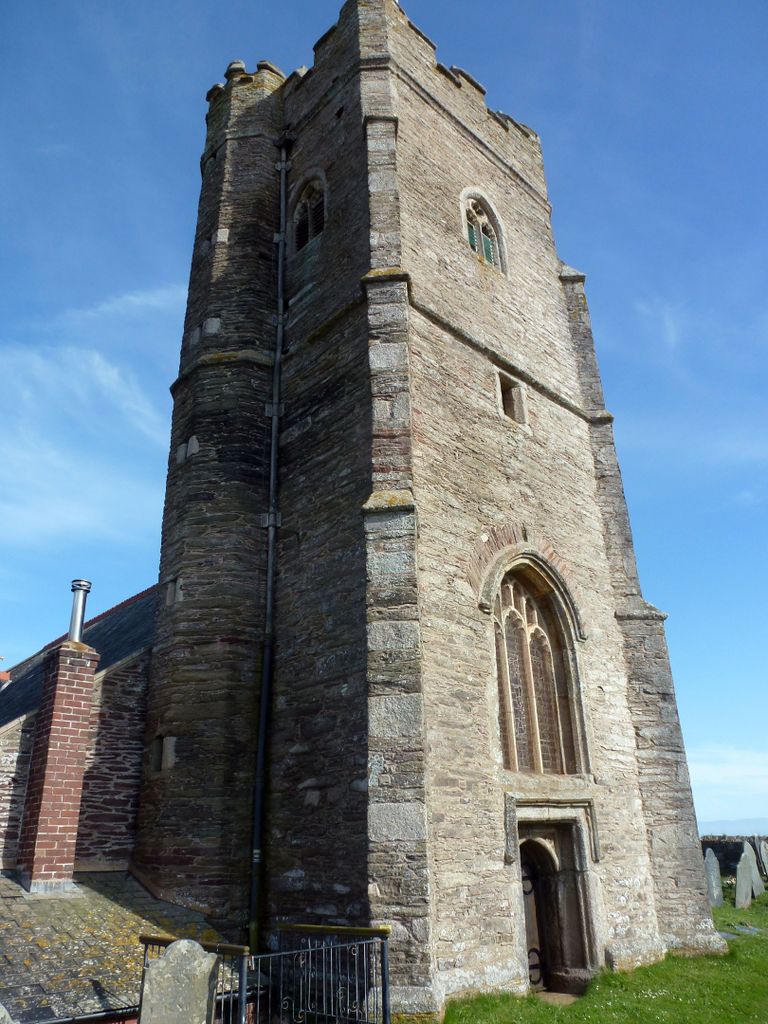
| Location | : | Wembury, South Hams District, England |
| Coordinate | : | 50.3178240, -4.0827135 |
frequently asked questions (FAQ):
-
Where is St Werburgh's Churchyard?
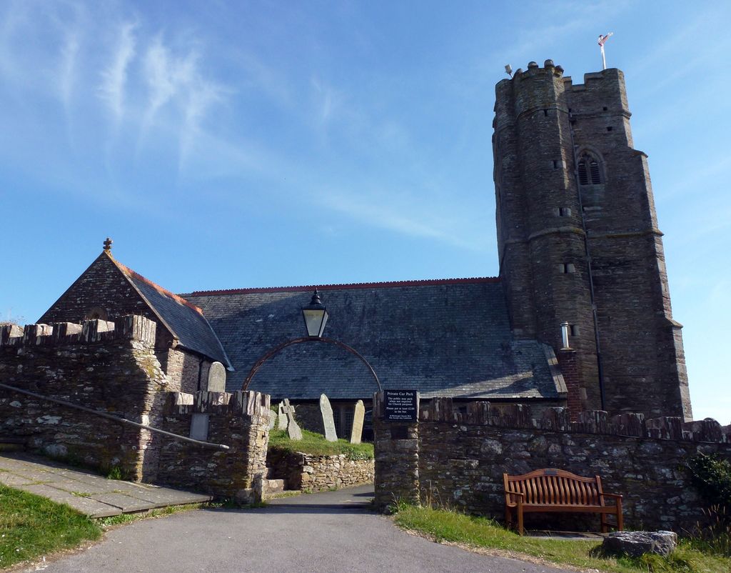
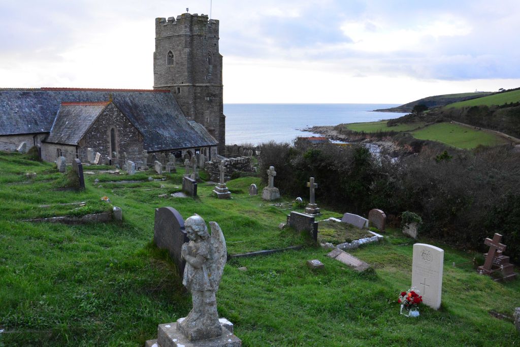
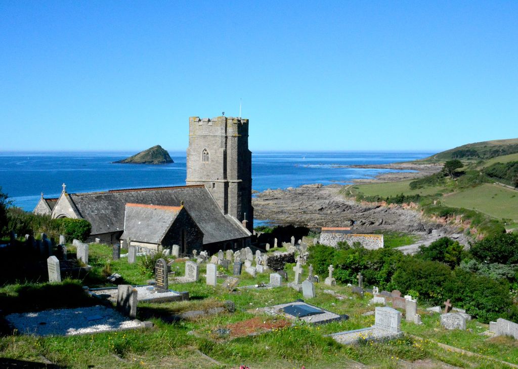
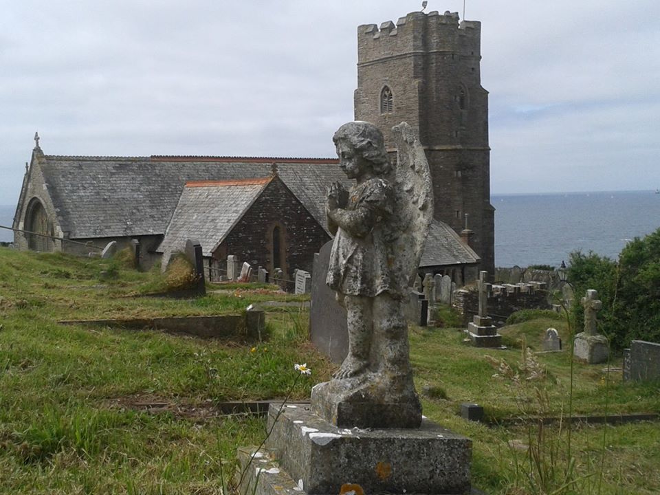
St Werburgh's Churchyard is located at Wembury, South Hams District ,Devon , PL9 0HREngland.
-
St Werburgh's Churchyard cemetery's updated grave count on graveviews.com?
0 memorials
-
Where are the coordinates of the St Werburgh's Churchyard?
Latitude: 50.3178240
Longitude: -4.0827135
Nearby Cemetories:
1. Holy Cross Churchyard
Newton Ferrers, South Hams District, England
Coordinate: 50.3154400, -4.0376900
2. St Peter's Church
Noss Mayo, South Hams District, England
Coordinate: 50.3118000, -4.0380000
3. St Mary and All Saints Churchyard
Plymstock, Plymouth Unitary Authority, England
Coordinate: 50.3582720, -4.0859640
4. St John's Cemetery
Hooe, Plymouth Unitary Authority, England
Coordinate: 50.3540100, -4.1157900
5. Saint Peter the Poor Fisherman
Noss Mayo, South Hams District, England
Coordinate: 50.3003000, -4.0178000
6. Oreston Methodist Church Burial Ground
Oreston, Plymouth Unitary Authority, England
Coordinate: 50.3608000, -4.1080700
7. St. Mary's Churchyard
Brixton, South Hams District, England
Coordinate: 50.3518490, -4.0341300
8. Howard Road Dissenters Cemetery
Plymstock, Plymouth Unitary Authority, England
Coordinate: 50.3654900, -4.0963000
9. Drake Memorial Park
Plympton, Plymouth Unitary Authority, England
Coordinate: 50.3752530, -4.0686940
10. Plymouth Hoe Old Jews Burial Ground
Plymouth, Plymouth Unitary Authority, England
Coordinate: 50.3667290, -4.1365800
11. St Bartholomew's Churchyard
Yealmpton, South Hams District, England
Coordinate: 50.3478800, -3.9997250
12. Plymouth Naval Memorial
Plymouth, Plymouth Unitary Authority, England
Coordinate: 50.3655739, -4.1422210
13. St Andrew Churchyard (Defunct)
Plymouth, Plymouth Unitary Authority, England
Coordinate: 50.3699100, -4.1399240
14. Ebenezer Methodist Chapel Burial Grounds
Plymouth, Plymouth Unitary Authority, England
Coordinate: 50.3732824, -4.1391355
15. St Maurice Churchyard
Plympton, Plymouth Unitary Authority, England
Coordinate: 50.3838900, -4.0468100
16. St. Maurice Nonconformist Burial Ground
Plympton, Plymouth Unitary Authority, England
Coordinate: 50.3839800, -4.0460000
17. Longcause Cemetery
Plympton, Plymouth Unitary Authority, England
Coordinate: 50.3827880, -4.0396640
18. Maker Churchyard
Maker, Cornwall Unitary Authority, England
Coordinate: 50.3472048, -4.1853155
19. St Peter and The Holy Apostles Churchyard
Plymouth, Plymouth Unitary Authority, England
Coordinate: 50.3731580, -4.1544280
20. St Mary Blessed Virgin Churchyard
Plympton, Plymouth Unitary Authority, England
Coordinate: 50.3881800, -4.0595100
21. Ford Park Cemetery
Plymouth, Plymouth Unitary Authority, England
Coordinate: 50.3813700, -4.1446090
22. Efford Cemetery and Crematorium
Plymouth, Plymouth Unitary Authority, England
Coordinate: 50.3908900, -4.1100080
23. Gifford Place Jewish Cemetery
Plymouth, Plymouth Unitary Authority, England
Coordinate: 50.3841970, -4.1408370
24. St. Andrew with St. Luke Churchyard
Devonport, Plymouth Unitary Authority, England
Coordinate: 50.3747560, -4.1625170