
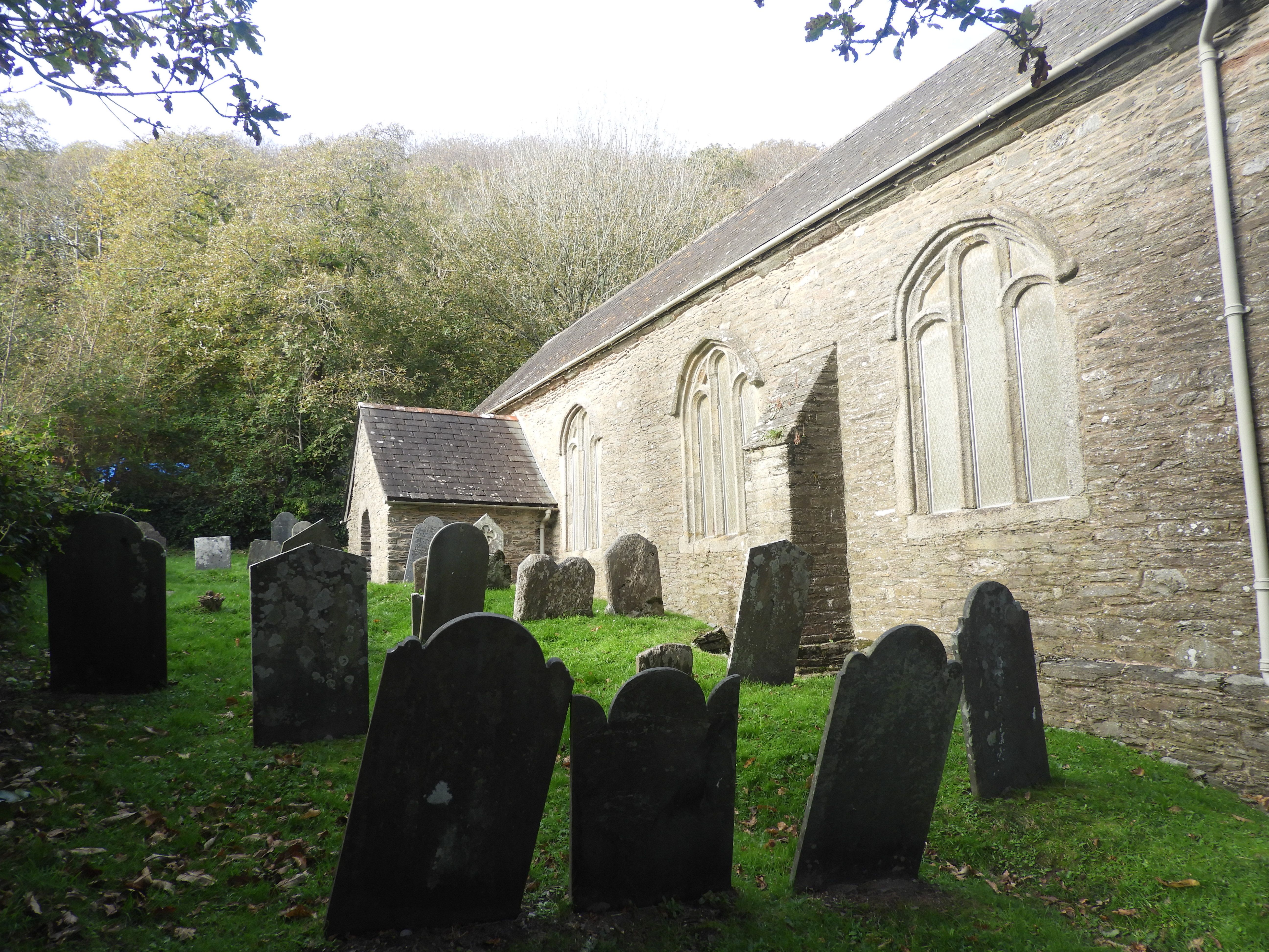
| Memorials | : | 0 |
| Location | : | Noss Mayo, South Hams District, England |
| Coordinate | : | 50.3003000, -4.0178000 |
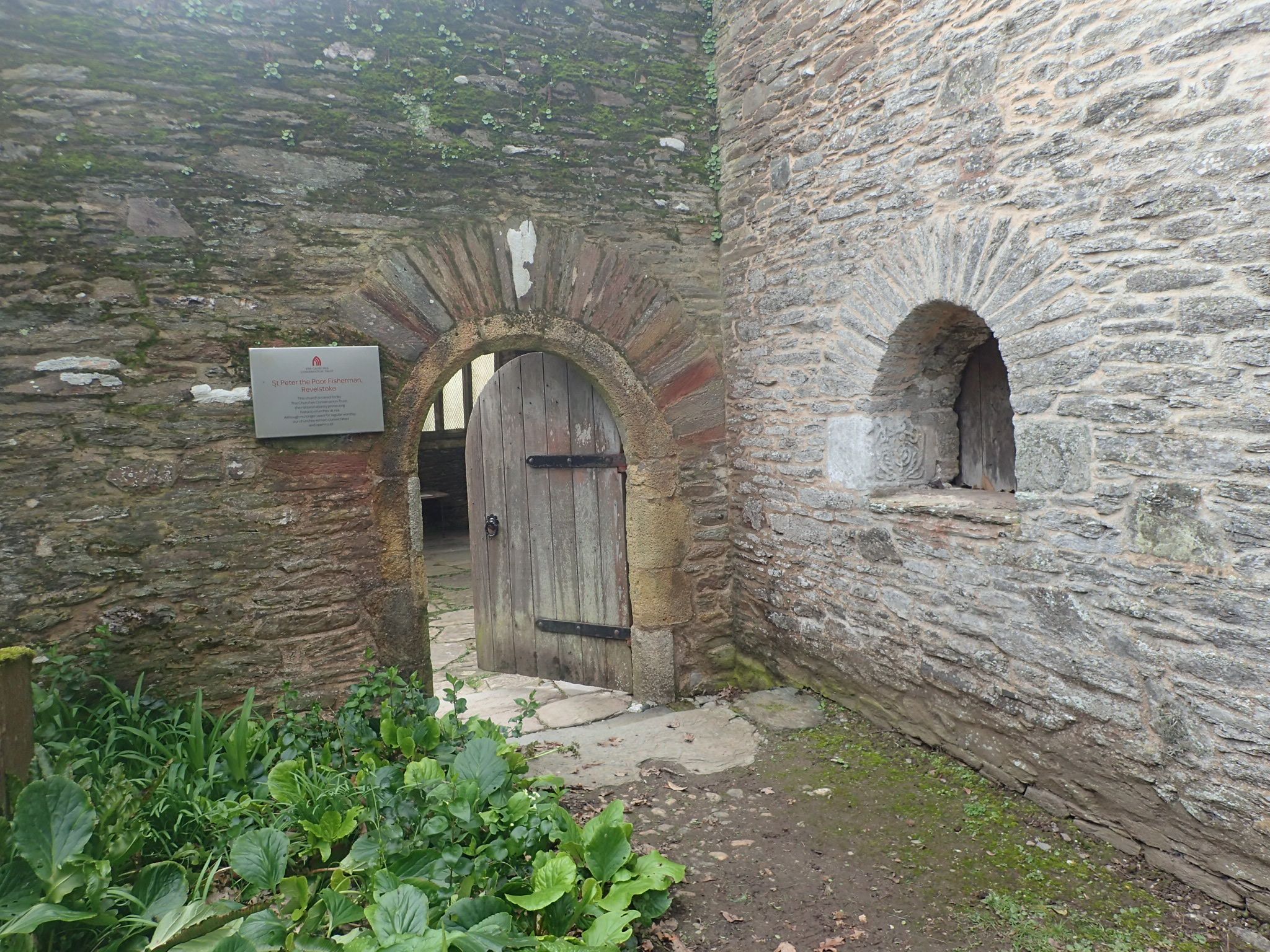
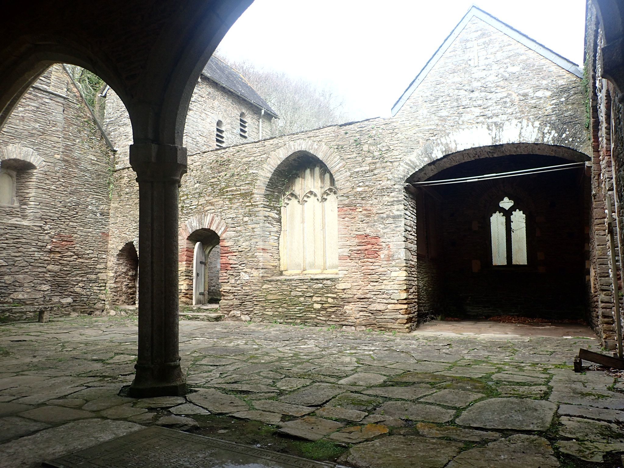
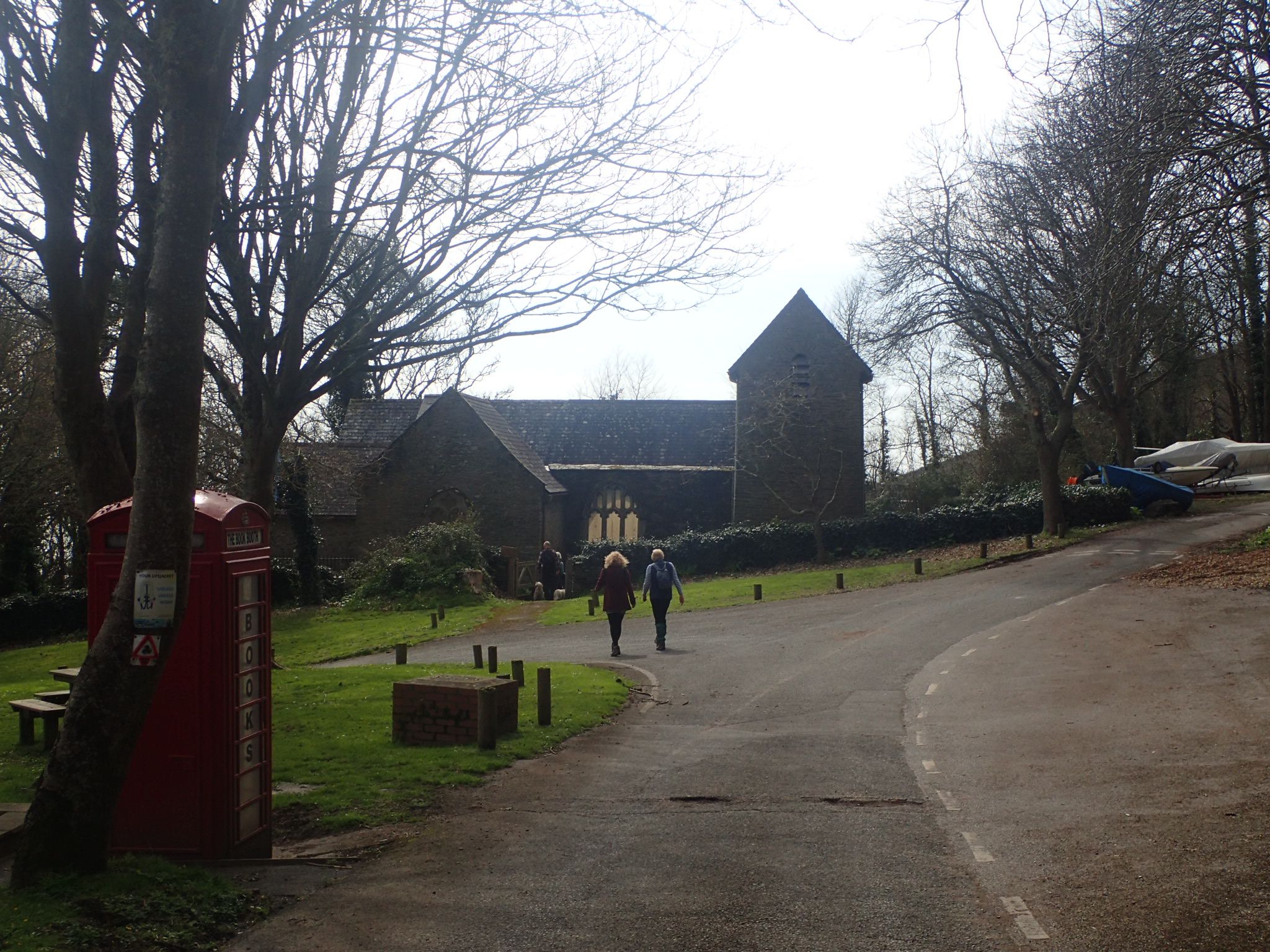
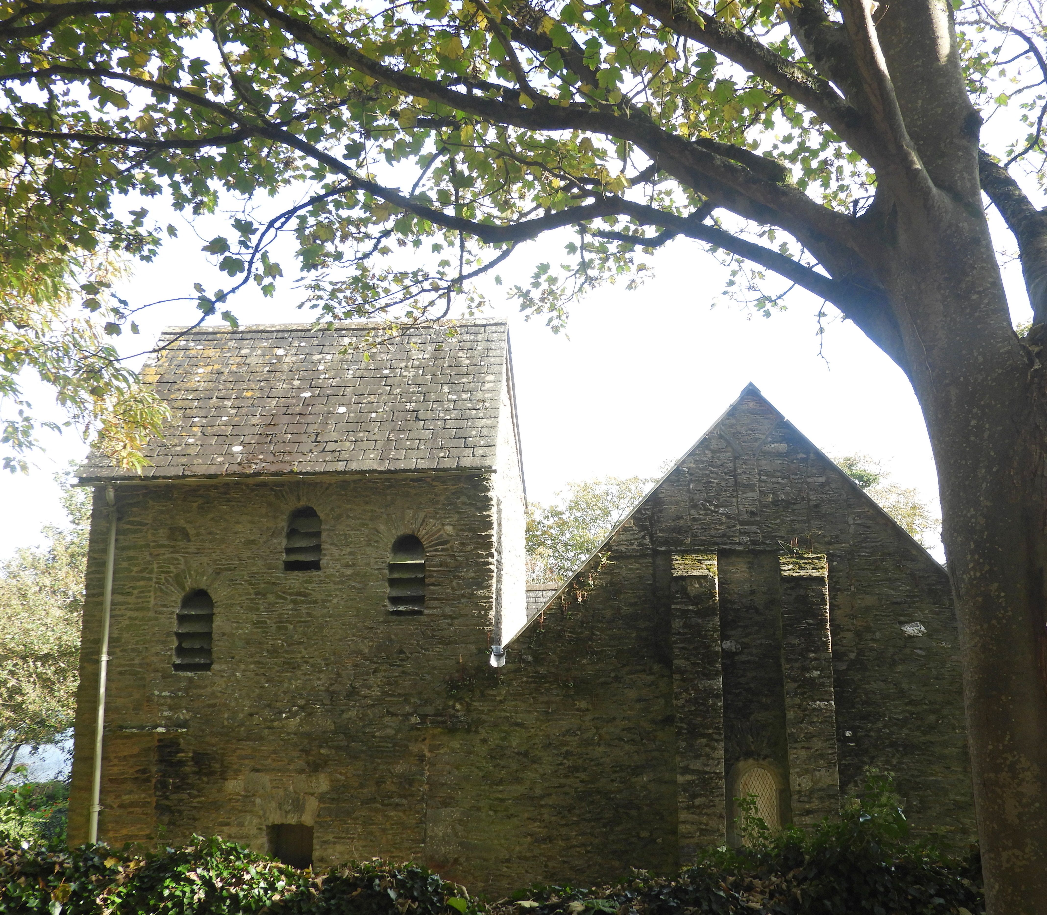
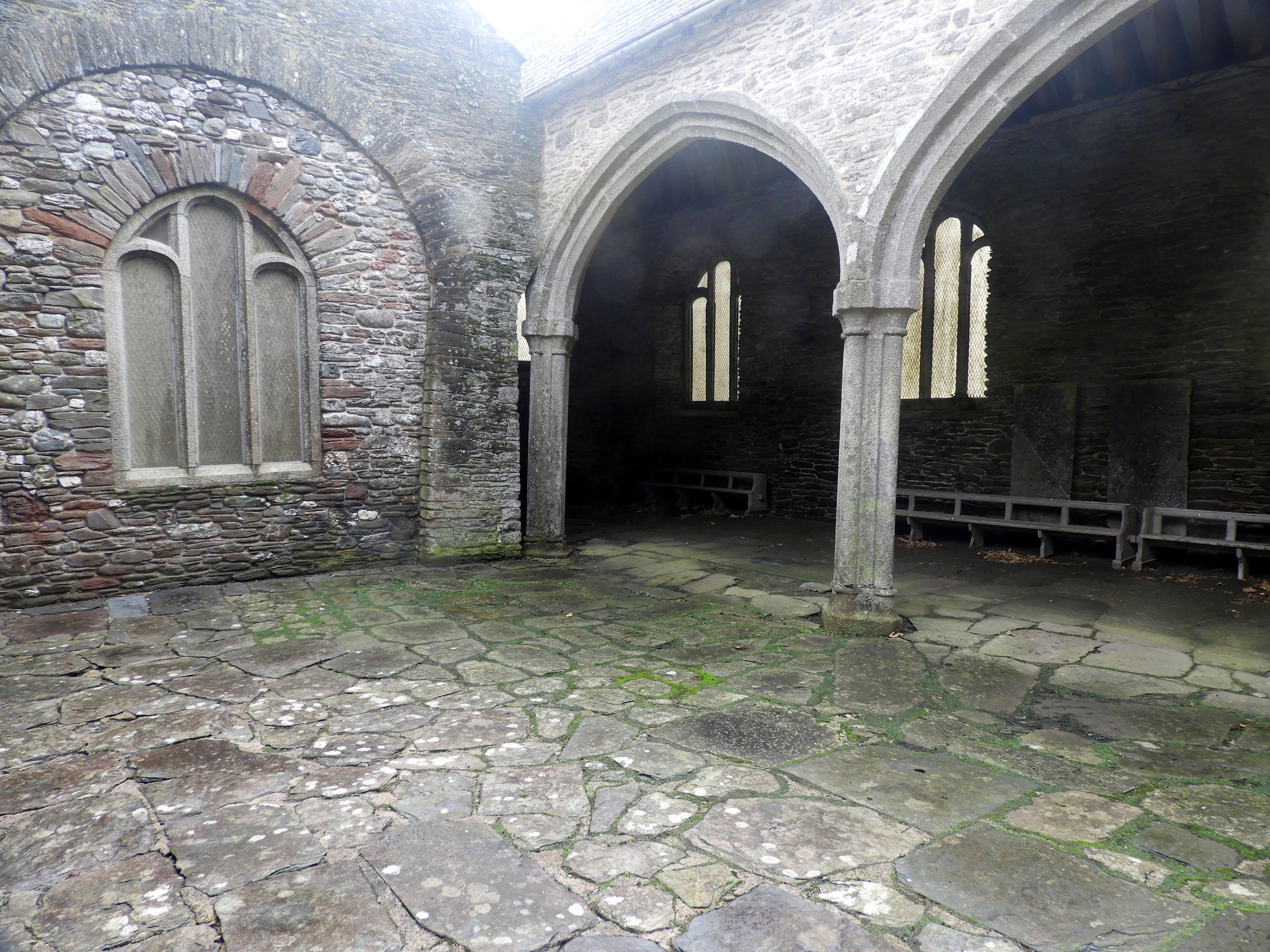
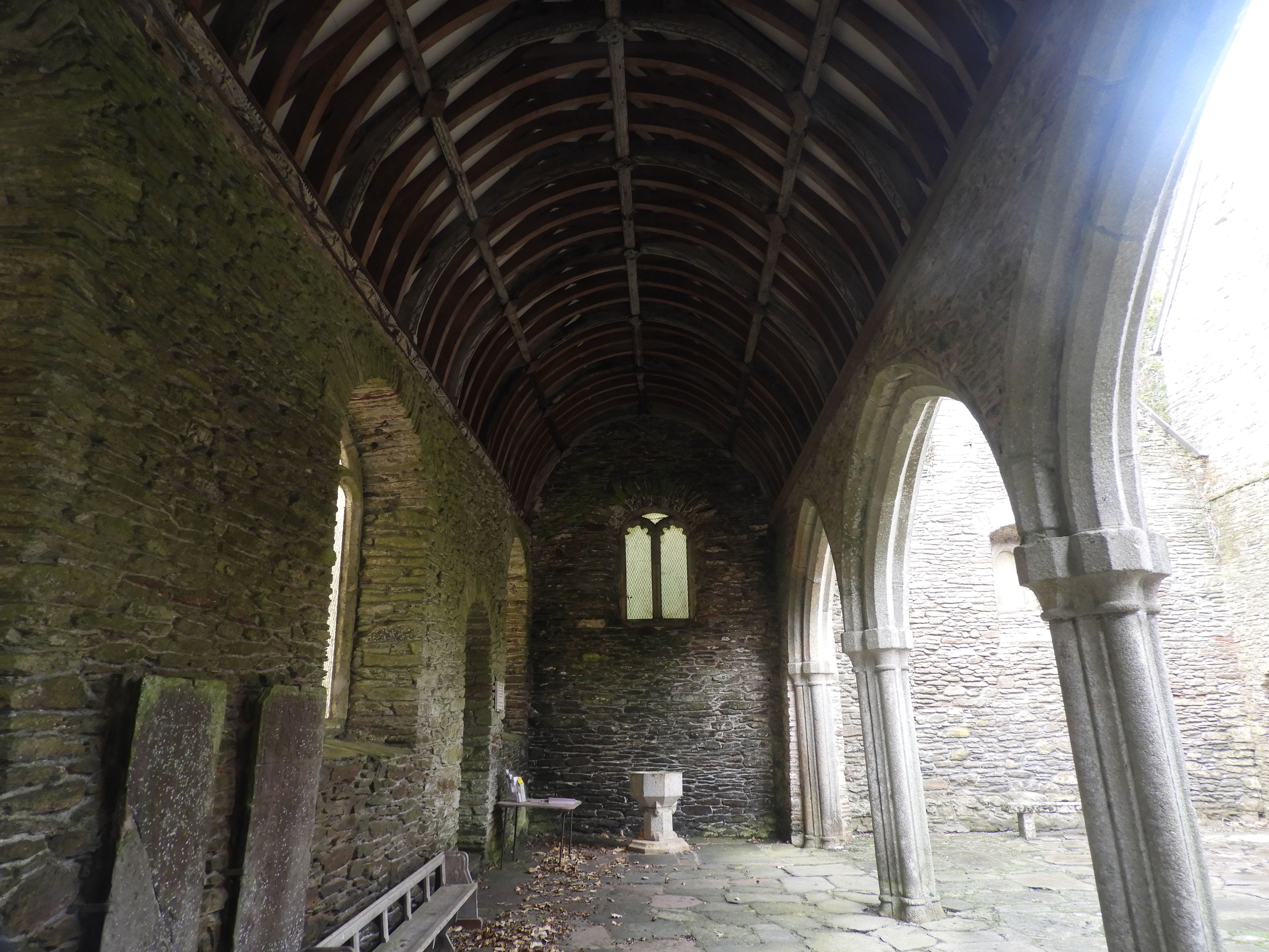
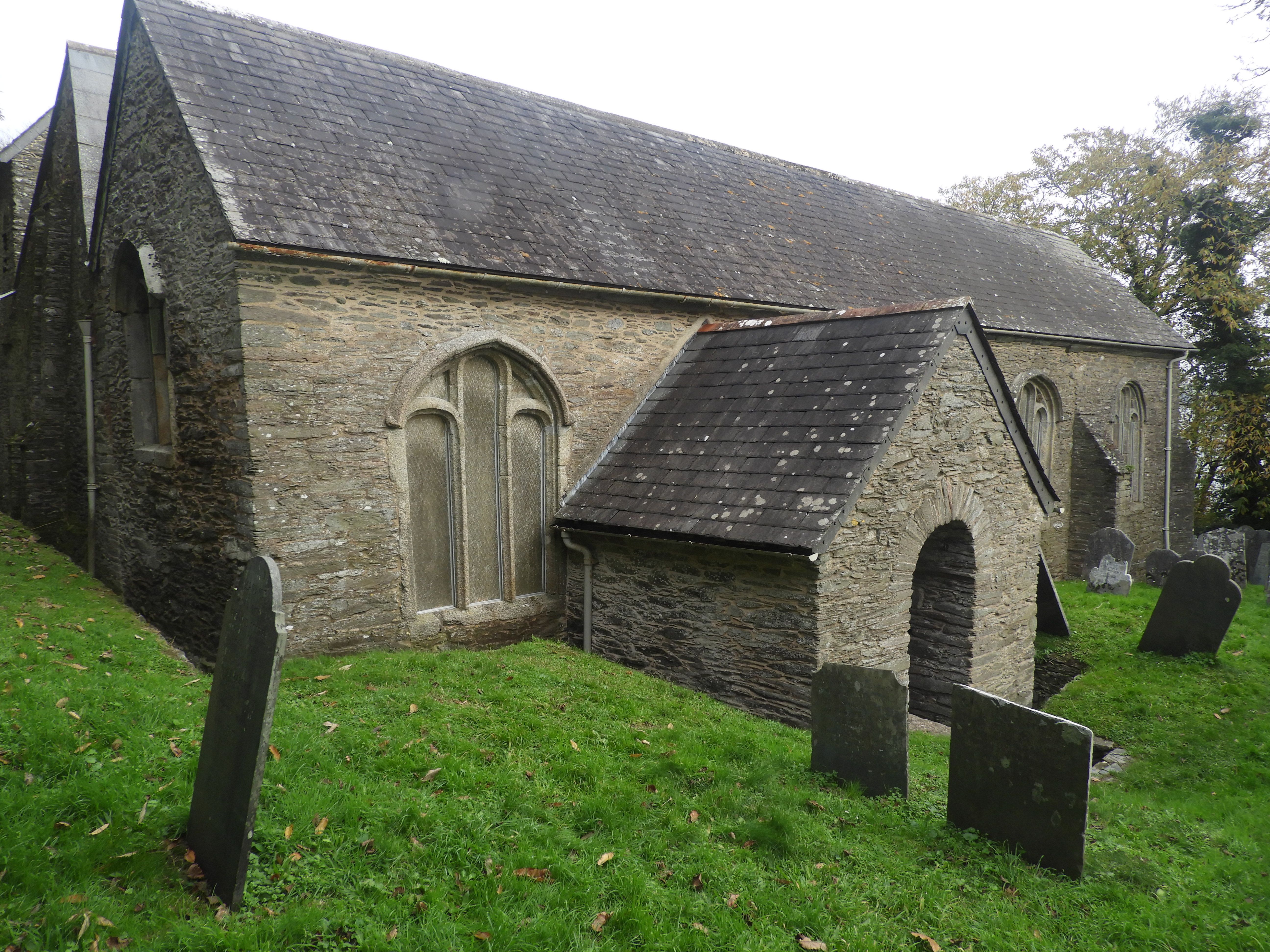
| Description | : | The original church was built in 1226. About 1870 a new church, also dedicated to St Peter, was built nearby and the church fell into disrepair. The new church of St Peter's which faces Holy Cross across the creek was built by the Barings, and this became the parish church. |
frequently asked questions (FAQ):
-
Where is Saint Peter the Poor Fisherman?
Saint Peter the Poor Fisherman is located at Revelstoke Noss Mayo, South Hams District ,Devon , PL8 1HEEngland.
-
Saint Peter the Poor Fisherman cemetery's updated grave count on graveviews.com?
0 memorials
-
Where are the coordinates of the Saint Peter the Poor Fisherman?
Latitude: 50.3003000
Longitude: -4.0178000
Nearby Cemetories:
1. St Peter's Church
Noss Mayo, South Hams District, England
Coordinate: 50.3118000, -4.0380000
2. Holy Cross Churchyard
Newton Ferrers, South Hams District, England
Coordinate: 50.3154400, -4.0376900
3. St Werburgh's Churchyard
Wembury, South Hams District, England
Coordinate: 50.3178240, -4.0827135
4. St Bartholomew's Churchyard
Yealmpton, South Hams District, England
Coordinate: 50.3478800, -3.9997250
5. St. Mary's Churchyard
Brixton, South Hams District, England
Coordinate: 50.3518490, -4.0341300
6. All Saints Churchyard
Holbeton, South Hams District, England
Coordinate: 50.3350500, -3.9503460
7. St Mary and All Saints Churchyard
Plymstock, Plymouth Unitary Authority, England
Coordinate: 50.3582720, -4.0859640
8. All Hallows Churchyard
Ringmore, South Hams District, England
Coordinate: 50.2983750, -3.8931400
9. Drake Memorial Park
Plympton, Plymouth Unitary Authority, England
Coordinate: 50.3752530, -4.0686940
10. Howard Road Dissenters Cemetery
Plymstock, Plymouth Unitary Authority, England
Coordinate: 50.3654900, -4.0963000
11. St John's Cemetery
Hooe, Plymouth Unitary Authority, England
Coordinate: 50.3540100, -4.1157900
12. Oreston Methodist Church Burial Ground
Oreston, Plymouth Unitary Authority, England
Coordinate: 50.3608000, -4.1080700
13. Longcause Cemetery
Plympton, Plymouth Unitary Authority, England
Coordinate: 50.3827880, -4.0396640
14. St. Maurice Nonconformist Burial Ground
Plympton, Plymouth Unitary Authority, England
Coordinate: 50.3839800, -4.0460000
15. St Maurice Churchyard
Plympton, Plymouth Unitary Authority, England
Coordinate: 50.3838900, -4.0468100
16. St Mary Blessed Virgin Churchyard
Plympton, Plymouth Unitary Authority, England
Coordinate: 50.3881800, -4.0595100
17. St. Lawrence Churchyard
Bigbury, South Hams District, England
Coordinate: 50.3048100, -3.8719500
18. Plymouth Hoe Old Jews Burial Ground
Plymouth, Plymouth Unitary Authority, England
Coordinate: 50.3667290, -4.1365800
19. Plymouth Naval Memorial
Plymouth, Plymouth Unitary Authority, England
Coordinate: 50.3655739, -4.1422210
20. All Saints Churchyard
Thurlestone, South Hams District, England
Coordinate: 50.2706100, -3.8628300
21. Ivybridge Cemetery
Ivybridge, South Hams District, England
Coordinate: 50.3883200, -3.9327100
22. St Andrew Churchyard (Defunct)
Plymouth, Plymouth Unitary Authority, England
Coordinate: 50.3699100, -4.1399240
23. Ebenezer Methodist Chapel Burial Grounds
Plymouth, Plymouth Unitary Authority, England
Coordinate: 50.3732824, -4.1391355
24. Efford Cemetery and Crematorium
Plymouth, Plymouth Unitary Authority, England
Coordinate: 50.3908900, -4.1100080