
| Memorials | : | 0 |
| Location | : | Wimborne, East Dorset District, England |
| Coordinate | : | 50.8097500, -1.9745150 |
frequently asked questions (FAQ):
-
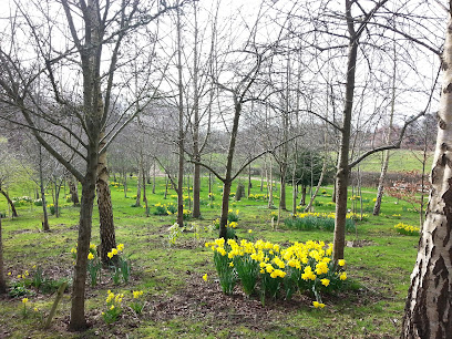
Where is Poole and Wimborne Woodland Burial Ground?
Poole and Wimborne Woodland Burial Ground is located at Wimborne, East Dorset District ,Dorset ,England.
-
Poole and Wimborne Woodland Burial Ground cemetery's updated grave count on graveviews.com?
0 memorials
-
Where are the coordinates of the Poole and Wimborne Woodland Burial Ground?
Latitude: 50.8097500
Longitude: -1.9745150
Nearby Cemetories:
1. Woodland Burial Ground
Colehill, East Dorset District, England
Coordinate: 50.8088100, -1.9737900
2. St Michael and All Angels Churchyard
Colehill, East Dorset District, England
Coordinate: 50.8104720, -1.9661400
3. Wimborne Cemetery
Wimborne, East Dorset District, England
Coordinate: 50.8040910, -1.9942650
4. St. Cuthberga Churchyard
Wimborne Minster, East Dorset District, England
Coordinate: 50.7989260, -1.9880560
5. Canford Magna Parish Church
Canford Magna, East Dorset District, England
Coordinate: 50.7889000, -1.9560000
6. St. James' Churchyard
Holt, East Dorset District, England
Coordinate: 50.8347020, -1.9585820
7. St. Kenelm Churchyard
Hinton Parva, East Dorset District, England
Coordinate: 50.8336300, -1.9949200
8. Canford Magna Civic Cemetery
Canford Magna, East Dorset District, England
Coordinate: 50.7845320, -1.9571820
9. All Saints Churchyard
Hampreston, East Dorset District, England
Coordinate: 50.7887250, -1.9231050
10. Corfe Mullen Cemetery
Corfe Mullen, East Dorset District, England
Coordinate: 50.7787500, -2.0177600
11. Poole Crematorium
Broadstone, Poole Unitary Authority, England
Coordinate: 50.7664860, -1.9764920
12. Broadstone Cemetery
Broadstone, Poole Unitary Authority, England
Coordinate: 50.7651160, -1.9829030
13. Corfe Mullen Church Cemetery
Corfe Mullen, East Dorset District, England
Coordinate: 50.7848260, -2.0344940
14. St. John The Evangelist Church
Hinton Martell, East Dorset District, England
Coordinate: 50.8551000, -1.9814000
15. St John the Baptist Churchyard
Broadstone, Poole Unitary Authority, England
Coordinate: 50.7620490, -1.9933870
16. All Saints Churchyard
Chalbury, East Dorset District, England
Coordinate: 50.8610620, -1.9750690
17. St Mary Churchyard
Ferndown, East Dorset District, England
Coordinate: 50.7997260, -1.8935890
18. All Saints Churchyard
Witchampton, East Dorset District, England
Coordinate: 50.8574650, -2.0178710
19. Witchampton Methodist Churchyard
Witchampton, East Dorset District, England
Coordinate: 50.8574990, -2.0205250
20. St. Mary the Virgin Church Cemetery
West Moors, East Dorset District, England
Coordinate: 50.8299273, -1.8895069
21. St. Wolfrida's Churchyard
Horton, East Dorset District, England
Coordinate: 50.8665000, -1.9585000
22. St. Andrew's Churchyard
Kinson, Bournemouth Unitary Authority, England
Coordinate: 50.7718700, -1.9049920
23. St. Mary's Churchyard
Sturminster Marshall, East Dorset District, England
Coordinate: 50.8031270, -2.0709410
24. West Moors Cemetery
West Moors, East Dorset District, England
Coordinate: 50.8158410, -1.8737500