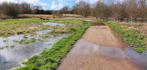
| Memorials | : | 27 |
| Location | : | Stanwick, East Northamptonshire Borough, England |
| Coordinate | : | 52.3298800, -0.5531500 |
| Description | : | Stanwick cemetery is located on Chelveston Road and is outside of the recognised village confines. The cemetery is surrounded by farmland. On 1st December 1927 Walter Denton conveyed to Thrapston Rural District Council a piece of land that is now the cemetery. In 1935 the Lovell family donated the Lych Gate. The earliest recorded burial in the Council's Register of Graves is for 1932. |
frequently asked questions (FAQ):
-
Where is Stanwick Cemetery?
Stanwick Cemetery is located at Chelveston Road Stanwick, East Northamptonshire Borough ,Northamptonshire ,England.
-
Stanwick Cemetery cemetery's updated grave count on graveviews.com?
26 memorials
-
Where are the coordinates of the Stanwick Cemetery?
Latitude: 52.3298800
Longitude: -0.5531500
Nearby Cemetories:
1. St. Laurence Churchyard Stanwick
Stanwick, East Northamptonshire Borough, England
Coordinate: 52.3324970, -0.5628585
2. St. John the Baptist Churchyard
Chelveston, East Northamptonshire Borough, England
Coordinate: 52.3112800, -0.5501200
3. Raunds Cemetery
Raunds, East Northamptonshire Borough, England
Coordinate: 52.3494100, -0.5467400
4. St. Mary the Virgin Churchyard
Higham Ferrers, East Northamptonshire Borough, England
Coordinate: 52.3065500, -0.5915240
5. Higham Ferrers Cemetery
Higham Ferrers, East Northamptonshire Borough, England
Coordinate: 52.3084850, -0.5945270
6. Station Road Cemetery
Ringsted Kommune, Denmark
Coordinate: 52.3638126, -0.5592430
7. St Peter's Churchyard
Irthlingborough, East Northamptonshire Borough, England
Coordinate: 52.3251642, -0.6101925
8. Nativity of the Blessed Virgin Mary Churchyard
Ringstead, East Northamptonshire Borough, England
Coordinate: 52.3652660, -0.5533620
9. Station Street Cemetery
Ringstead, East Northamptonshire Borough, England
Coordinate: 52.3654427, -0.5538628
10. St. Mary the Virgin Churchyard
Yelden, Bedford Borough, England
Coordinate: 52.2930600, -0.5182700
11. All Saints Churchyard
Great Addington, East Northamptonshire Borough, England
Coordinate: 52.3657660, -0.5937010
12. All Hallow's Church Hargrave Churchyard
Hargrave, East Northamptonshire Borough, England
Coordinate: 52.3242316, -0.4800580
13. Newton Road Cemetery
Rushden, East Northamptonshire Borough, England
Coordinate: 52.2882140, -0.5859750
14. St Mary the Virgin Churchyard
Shelton, Bedford Borough, England
Coordinate: 52.3076000, -0.4852000
15. New Irthlingborough Cemetery
Irthlingborough, East Northamptonshire Borough, England
Coordinate: 52.3178531, -0.6294229
16. Holy Trinity Church
Denford, East Northamptonshire Borough, England
Coordinate: 52.3787353, -0.5450568
17. St. Peter Churchyard
Newton Bromswold, East Northamptonshire Borough, England
Coordinate: 52.2815200, -0.5376600
18. St Mary Churchyard
Rushden, East Northamptonshire Borough, England
Coordinate: 52.2885570, -0.5973860
19. Dean URC Cemetery
Upper Dean, Bedford Borough, England
Coordinate: 52.2999756, -0.4634887
20. All Saints Churchyard
Upper Dean, Bedford Borough, England
Coordinate: 52.2969000, -0.4664000
21. Covington Parish Church
Covington, Huntingdonshire District, England
Coordinate: 52.3238459, -0.4505520
22. St. Mary Magdalene Churchyard
Melchbourne, Bedford Borough, England
Coordinate: 52.2770600, -0.4935690
23. Saint Mary the Virgin Churchyard Extension
Finedon, Wellingborough Borough, England
Coordinate: 52.3385489, -0.6613748
24. St Lawrence Churchyard
Wymington, Bedford Borough, England
Coordinate: 52.2694310, -0.6017230

