| Memorials | : | 0 |
| Location | : | Elk Mills, Carter County, USA |
| Coordinate | : | 36.2502700, -81.9804400 |
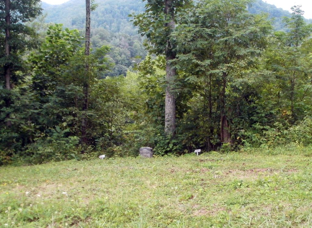
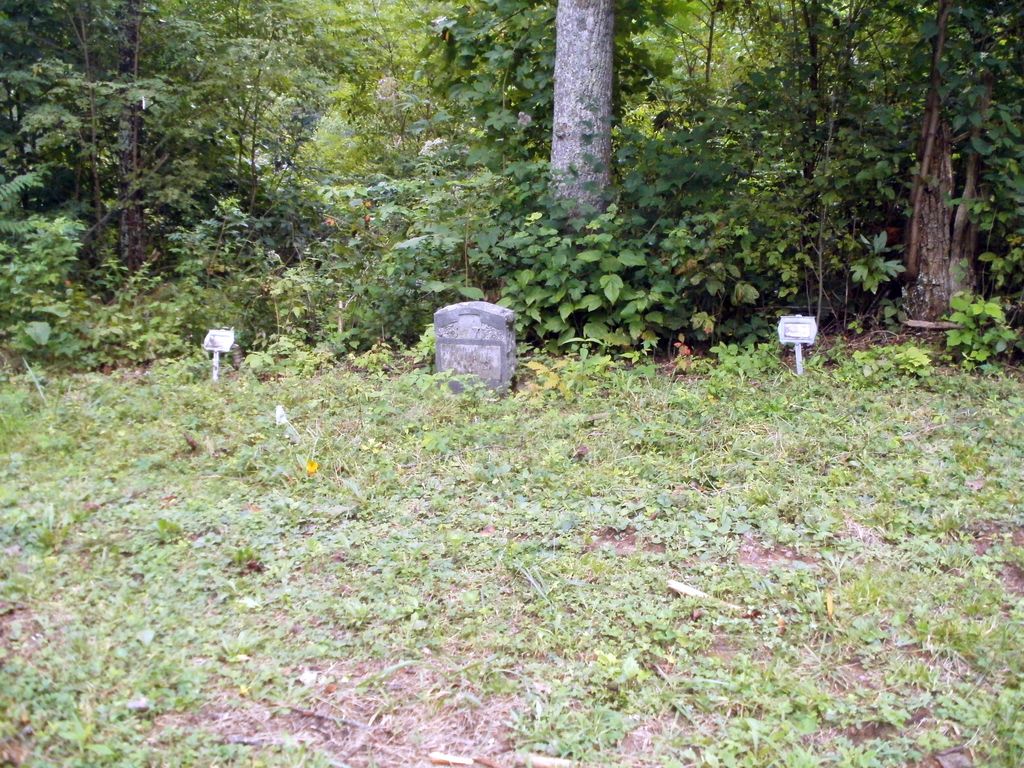
| Description | : | This cemetery is located at the physical address of 548 Poga Road, (Elk Mills Community) Butler, Tenn. 37640. It is located on the side of the road just before the entrance to the driveway for Haskell Stout Home. May have been started before the new road was constructed. Stout (Haskell Stout Family) is now located directly across from the home just to the right of this cemetery, From Elizabethton, Tenn. take #321 S to Elk Mills. Left on Poga, approximately 2-1/2 miles to 548 Poga Road (right). |
frequently asked questions (FAQ):
-
Where is Stout Cemetery?
Stout Cemetery is located at 548 Poga Road Elk Mills, Carter County ,Tennessee ,USA.
-
Stout Cemetery cemetery's updated grave count on graveviews.com?
0 memorials
-
Where are the coordinates of the Stout Cemetery?
Latitude: 36.2502700
Longitude: -81.9804400
Nearby Cemetories:
1. Stone Mountain Baptist Church Cemetery
Elk Mills, Carter County, USA
Coordinate: 36.2498280, -81.9774910
2. William Potter Cemetery
Elk Mills, Carter County, USA
Coordinate: 36.2528900, -81.9811800
3. Stout Cemetery
Elk Mills, Carter County, USA
Coordinate: 36.2632380, -81.9846150
4. Cable Cemetery
Elk Mills, Carter County, USA
Coordinate: 36.2638610, -81.9756890
5. John Miller Cemetery
Elk Mills, Carter County, USA
Coordinate: 36.2684630, -81.9910100
6. Clawson Cemetery
Carter County, USA
Coordinate: 36.2685300, -81.9917800
7. Clawson Cemetery
Carter County, USA
Coordinate: 36.2358600, -81.9604500
8. Clawson Cemetery #1
Carter County, USA
Coordinate: 36.2382900, -81.9555800
9. Elk Mills Cemetery
Elk Mills, Carter County, USA
Coordinate: 36.2727300, -81.9901400
10. Elk Mills Baptist Church Cemetery
Carter County, USA
Coordinate: 36.2730100, -81.9935400
11. Harmon Cemetery
Carter County, USA
Coordinate: 36.2307740, -81.9602820
12. Joel Trivett Cemetery
Avery County, USA
Coordinate: 36.2328510, -81.9561200
13. Goodwin Cemetery #3
Elk Mills, Carter County, USA
Coordinate: 36.2756004, -81.9925003
14. 1485 Poga Road Cemetery
Carter County, USA
Coordinate: 36.2562300, -81.9419000
15. Evans Potter Cemetery
Buntontown, Johnson County, USA
Coordinate: 36.2808800, -81.9650200
16. Trivett Cemetery North Hill Gap
Elk Park, Avery County, USA
Coordinate: 36.2302890, -81.9441460
17. Flat Springs Baptist Church Cemetery
Elk Park, Avery County, USA
Coordinate: 36.2539960, -81.9337660
18. J. L. Price Cemetery
Buntontown, Johnson County, USA
Coordinate: 36.2891300, -81.9819000
19. Old Beech Mountain Cemetery
Flat Springs, Avery County, USA
Coordinate: 36.2426120, -81.9327740
20. Mitchell Cemetery
Whaley, Avery County, USA
Coordinate: 36.2372120, -81.9329670
21. Estep Cemetery
Whaley, Avery County, USA
Coordinate: 36.2372550, -81.9321410
22. Bunton Cemetery
Johnson County, USA
Coordinate: 36.2921982, -81.9744034
23. McGuire Cemetery
Elk Park, Avery County, USA
Coordinate: 36.2332993, -81.9319000
24. Andrews-Tester Cemetery
Buntontown, Johnson County, USA
Coordinate: 36.2937430, -81.9735220


