
| Memorials | : | 0 |
| Location | : | Elk Mills, Carter County, USA |
| Coordinate | : | 36.2528900, -81.9811800 |
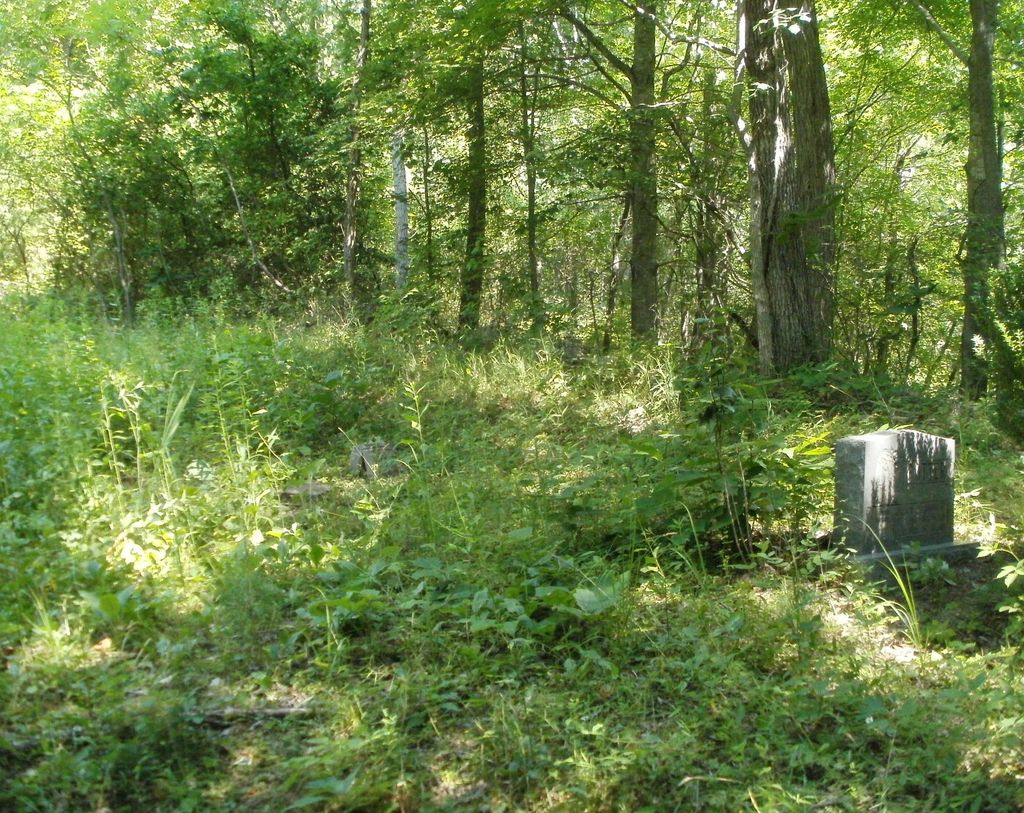
| Description | : | Directions: From Elizabethton, Tn. 321S to Elk Mills. Make a right on Poga Road. Poga Road to a left on Atley Brown Road. Go to the end of the pavement on Atley Brown Road and park. Continue up the trail to the river and crossing it (you will need to wade, there is no bridge) continue following the trail past a fallen barn (on right) it will lead you directly to the cemetery at the top. Surveyed by Aleta Stafford 6/29/2012 7- Readable Stones 2- Unknown 4-5 - Unmarked Aleta added: You might remind everyone it's a... Read More |
frequently asked questions (FAQ):
-
Where is William Potter Cemetery?
William Potter Cemetery is located at Atley Brown Road Elk Mills, Carter County ,Tennessee , 37640USA.
-
William Potter Cemetery cemetery's updated grave count on graveviews.com?
0 memorials
-
Where are the coordinates of the William Potter Cemetery?
Latitude: 36.2528900
Longitude: -81.9811800
Nearby Cemetories:
1. Stout Cemetery
Elk Mills, Carter County, USA
Coordinate: 36.2502700, -81.9804400
2. Stone Mountain Baptist Church Cemetery
Elk Mills, Carter County, USA
Coordinate: 36.2498280, -81.9774910
3. Stout Cemetery
Elk Mills, Carter County, USA
Coordinate: 36.2632380, -81.9846150
4. Cable Cemetery
Elk Mills, Carter County, USA
Coordinate: 36.2638610, -81.9756890
5. John Miller Cemetery
Elk Mills, Carter County, USA
Coordinate: 36.2684630, -81.9910100
6. Clawson Cemetery
Carter County, USA
Coordinate: 36.2685300, -81.9917800
7. Elk Mills Cemetery
Elk Mills, Carter County, USA
Coordinate: 36.2727300, -81.9901400
8. Elk Mills Baptist Church Cemetery
Carter County, USA
Coordinate: 36.2730100, -81.9935400
9. Clawson Cemetery
Carter County, USA
Coordinate: 36.2358600, -81.9604500
10. Goodwin Cemetery #3
Elk Mills, Carter County, USA
Coordinate: 36.2756004, -81.9925003
11. Clawson Cemetery #1
Carter County, USA
Coordinate: 36.2382900, -81.9555800
12. Harmon Cemetery
Carter County, USA
Coordinate: 36.2307740, -81.9602820
13. Joel Trivett Cemetery
Avery County, USA
Coordinate: 36.2328510, -81.9561200
14. Evans Potter Cemetery
Buntontown, Johnson County, USA
Coordinate: 36.2808800, -81.9650200
15. 1485 Poga Road Cemetery
Carter County, USA
Coordinate: 36.2562300, -81.9419000
16. J. L. Price Cemetery
Buntontown, Johnson County, USA
Coordinate: 36.2891300, -81.9819000
17. Trivett Cemetery North Hill Gap
Elk Park, Avery County, USA
Coordinate: 36.2302890, -81.9441460
18. Flat Springs Baptist Church Cemetery
Elk Park, Avery County, USA
Coordinate: 36.2539960, -81.9337660
19. Bunton Cemetery
Johnson County, USA
Coordinate: 36.2921982, -81.9744034
20. Old Beech Mountain Cemetery
Flat Springs, Avery County, USA
Coordinate: 36.2426120, -81.9327740
21. Andrews-Tester Cemetery
Buntontown, Johnson County, USA
Coordinate: 36.2937430, -81.9735220
22. Mitchell Cemetery
Whaley, Avery County, USA
Coordinate: 36.2372120, -81.9329670
23. Estep Cemetery
Whaley, Avery County, USA
Coordinate: 36.2372550, -81.9321410
24. Crosswhite Cemetery
Johnson County, USA
Coordinate: 36.2947006, -81.9649963