
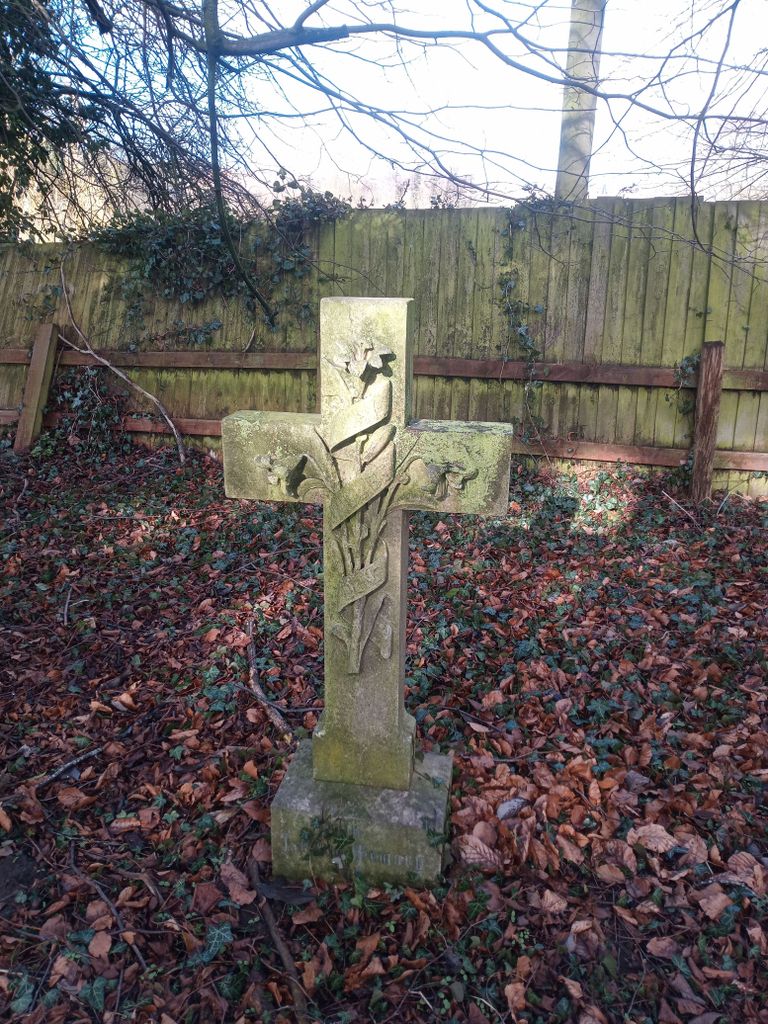
| Memorials | : | 0 |
| Location | : | Longford, Telford and Wrekin Unitary Authority, England |
| Coordinate | : | 52.7627400, -2.4081500 |
frequently asked questions (FAQ):
-
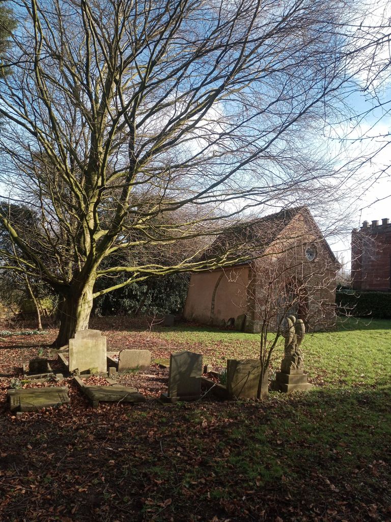
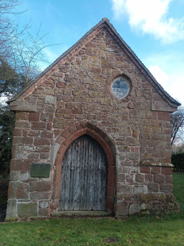
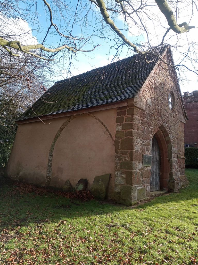
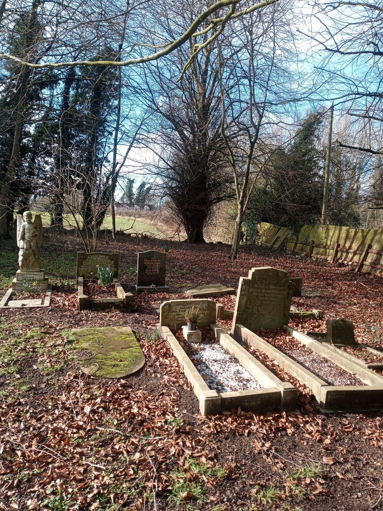
Where is Talbot Chapel?
Talbot Chapel is located at Longford, Telford and Wrekin Unitary Authority ,Shropshire ,England.
-
Talbot Chapel cemetery's updated grave count on graveviews.com?
0 memorials
-
Where are the coordinates of the Talbot Chapel?
Latitude: 52.7627400
Longitude: -2.4081500
Nearby Cemetories:
1. St. Peter Church
Edgmond, Telford and Wrekin Unitary Authority, England
Coordinate: 52.7699680, -2.4159730
2. St Andrews Churchyard
Church Aston, Telford and Wrekin Unitary Authority, England
Coordinate: 52.7577930, -2.3815770
3. St. Nicholas Churchyard
Newport, Telford and Wrekin Unitary Authority, England
Coordinate: 52.7696720, -2.3793420
4. Newport General Cemetery
Newport, Telford and Wrekin Unitary Authority, England
Coordinate: 52.7656260, -2.3655840
5. Saint Michael and All Angels
Chetwynd, Telford and Wrekin Unitary Authority, England
Coordinate: 52.7887300, -2.3935160
6. St Michael and All Angels Churchyard
Lilleshall, Telford and Wrekin Unitary Authority, England
Coordinate: 52.7345610, -2.4032770
7. Chetwynd Churchyard
Newport, Telford and Wrekin Unitary Authority, England
Coordinate: 52.7905280, -2.3916390
8. Forton All Saints Churchyard
Newport, Telford and Wrekin Unitary Authority, England
Coordinate: 52.7876210, -2.3640430
9. Lilleshall Abbey
Lilleshall, Telford and Wrekin Unitary Authority, England
Coordinate: 52.7247000, -2.3898000
10. Tibberton All Saints
Tibberton, Telford and Wrekin Unitary Authority, England
Coordinate: 52.7800660, -2.4741020
11. Woodcote Parish Church
Woodcote, Telford and Wrekin Unitary Authority, England
Coordinate: 52.7358330, -2.3456640
12. St. Matthew's Churchyard
Donnington Wood, Telford and Wrekin Unitary Authority, England
Coordinate: 52.7148135, -2.4308853
13. Holy Trinity Church
Wrockwardine, Telford and Wrekin Unitary Authority, England
Coordinate: 52.7105800, -2.4476600
14. Wrockwardine Wood Methodist Graveyard
Wrockwardine, Telford and Wrekin Unitary Authority, England
Coordinate: 52.7076180, -2.4426530
15. St Mary's, Moreton
Moreton, Stafford Borough, England
Coordinate: 52.7521490, -2.3021420
16. Wombridge Cemetery
Oakengates, Telford and Wrekin Unitary Authority, England
Coordinate: 52.7023940, -2.4579990
17. Telford Crematorium
Redhill, Telford and Wrekin Unitary Authority, England
Coordinate: 52.6950750, -2.3988090
18. St Mary's & St Leonard's Church Burial Ground
Wombridge, Telford and Wrekin Unitary Authority, England
Coordinate: 52.7014856, -2.4585662
19. St George's Churchyard
Oakengates, Telford and Wrekin Unitary Authority, England
Coordinate: 52.6952150, -2.4321740
20. Church of St Peter
Norbury, Stafford Borough, England
Coordinate: 52.8084000, -2.3184000
21. Hadley Cemetery
Leegomery, Telford and Wrekin Unitary Authority, England
Coordinate: 52.7097110, -2.4893660
22. Saint Catherine Churchyard
Eyton upon the Weald Moors, Telford and Wrekin Unitary Authority, England
Coordinate: 52.7299800, -2.5182200
23. Holy Trinity Churchyard
Oakengates, Telford and Wrekin Unitary Authority, England
Coordinate: 52.6925070, -2.4562980
24. St Oswald's Church Burial Ground
Hinstock, Shropshire Unitary Authority, England
Coordinate: 52.8346100, -2.4577700