
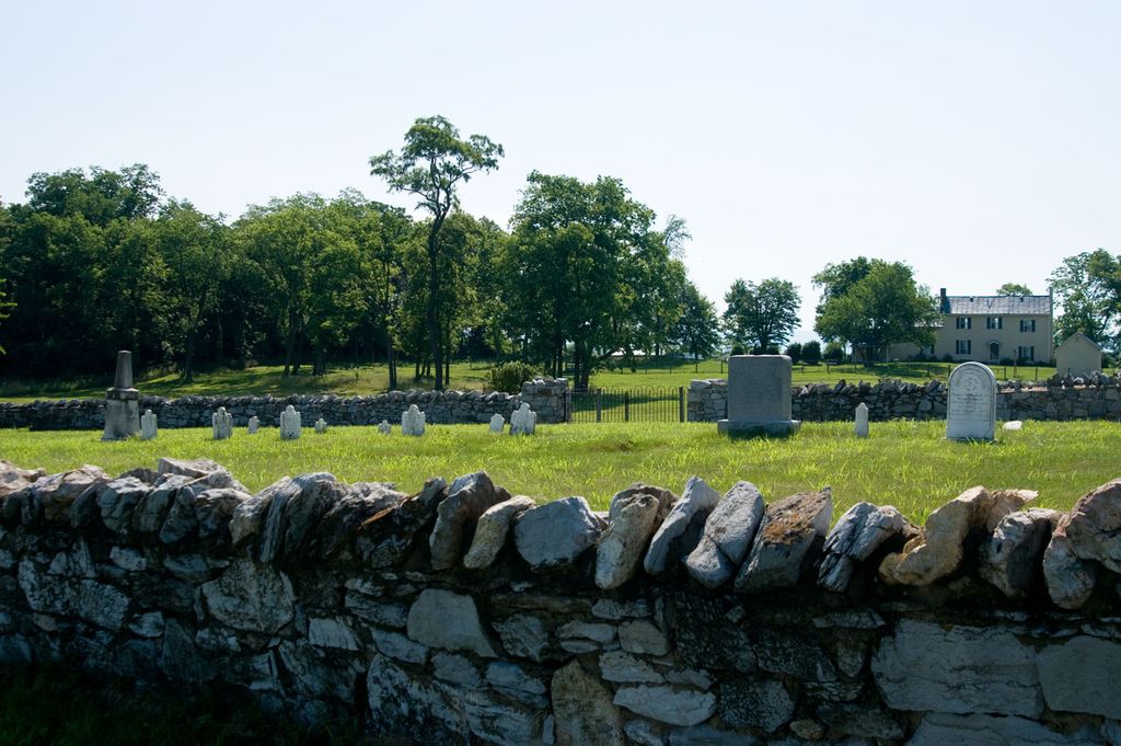
| Memorials | : | 0 |
| Location | : | Berryville, Clarke County, USA |
| Coordinate | : | 39.1724620, -77.9900770 |
| Description | : | Off of State Route F-729 (Trapp Hill Road), northwest of Berryville. |
frequently asked questions (FAQ):
-
Where is Thomas Blakemore Family Farm Cemetery?
Thomas Blakemore Family Farm Cemetery is located at Berryville, Clarke County ,Virginia ,USA.
-
Thomas Blakemore Family Farm Cemetery cemetery's updated grave count on graveviews.com?
0 memorials
-
Where are the coordinates of the Thomas Blakemore Family Farm Cemetery?
Latitude: 39.1724620
Longitude: -77.9900770

Nearby Cemetories:
1. Green Hill Cemetery
Berryville, Clarke County, USA
Coordinate: 39.1581001, -77.9768982
2. AME Church Cemetery
Berryville, Clarke County, USA
Coordinate: 39.1541940, -77.9803560
3. Berryville Baptist Church Cemetery
Berryville, Clarke County, USA
Coordinate: 39.1534060, -77.9826350
4. Grace Episcopal Church Cemetery
Berryville, Clarke County, USA
Coordinate: 39.1524390, -77.9800680
5. Kitchen-Gaunt Family Cemetery
Longmarsh Acres, Clarke County, USA
Coordinate: 39.1729300, -78.0180500
6. Russell Family Cemetery Rock Hall
Berryville, Clarke County, USA
Coordinate: 39.1748210, -78.0211690
7. Duncan Memorial United Methodist Church Cemetery
Berryville, Clarke County, USA
Coordinate: 39.1492140, -77.9774040
8. Milton Valley Cemetery
Berryville, Clarke County, USA
Coordinate: 39.1399994, -77.9792023
9. Crums Cemetery
Berryville, Clarke County, USA
Coordinate: 39.2092018, -78.0018997
10. Stones Chapel Cemetery
Clarke County, USA
Coordinate: 39.2261009, -78.0105972
11. Burns Family Cemetery
Franklintown, Jefferson County, USA
Coordinate: 39.2077485, -77.9308778
12. Locust Grove Cemetery
Franklintown, Jefferson County, USA
Coordinate: 39.2080990, -77.9307680
13. Runnymeade Cemetery
Berryville, Clarke County, USA
Coordinate: 39.1800550, -77.9138230
14. Jamestown Cemetery
Summit Point, Jefferson County, USA
Coordinate: 39.2346800, -77.9842300
15. Prosperity Baptist Church Cemetery
Summit Point, Jefferson County, USA
Coordinate: 39.2387730, -77.9843590
16. Old Chapel Cemetery
Millwood, Clarke County, USA
Coordinate: 39.1067009, -78.0147018
17. Briggs Family-Air Hill
Berryville, Clarke County, USA
Coordinate: 39.1040444, -78.0032310
18. Bullskin Presbyterian Churchyard
Summit Point, Jefferson County, USA
Coordinate: 39.2372940, -77.9578650
19. Burnt Factory United Methodist Church Cemetery
Burnt Factory, Frederick County, USA
Coordinate: 39.1949005, -78.0755005
20. Wickliffe Episcopal Church Cemetery
Wickliffe, Clarke County, USA
Coordinate: 39.1662090, -77.8913630
21. Lewis Muse Graveyard
Rippon, Jefferson County, USA
Coordinate: 39.1811590, -77.8905340
22. Old School Baptist Churchyard
Rippon, Jefferson County, USA
Coordinate: 39.2167850, -77.9073720
23. Redbud Cemetery
Burnt Factory, Frederick County, USA
Coordinate: 39.1918983, -78.0916977
24. Salem Regular Baptist Church Cemetery
Boyce, Clarke County, USA
Coordinate: 39.1300011, -78.0828018