
| Memorials | : | 0 |
| Location | : | Aylesbury, Aylesbury Vale District, England |
| Coordinate | : | 51.8149700, -0.7979560 |
frequently asked questions (FAQ):
-
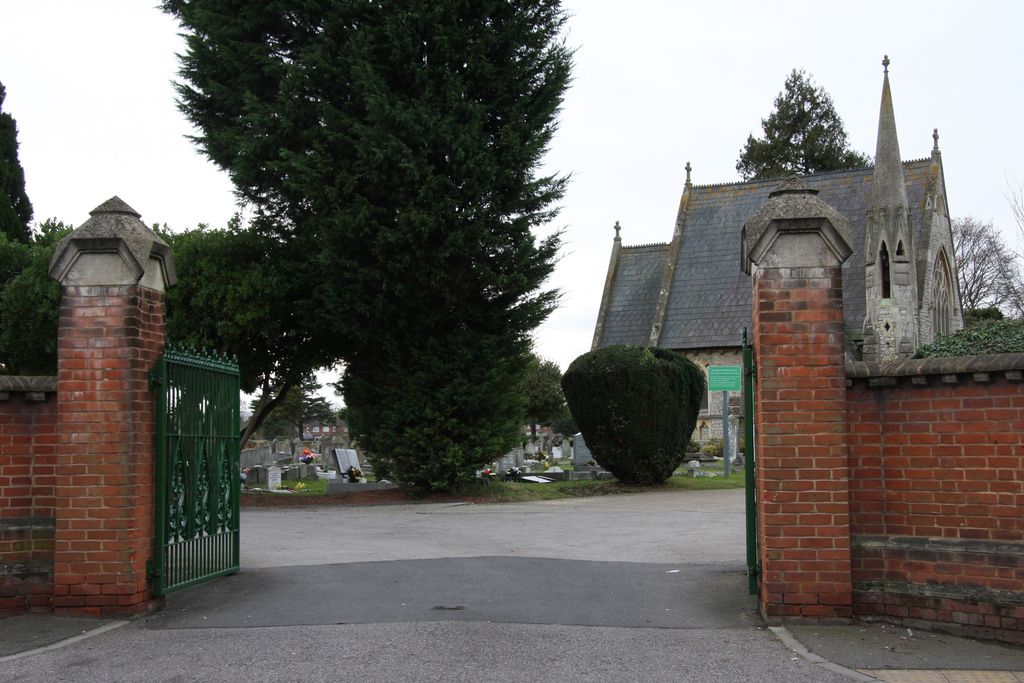
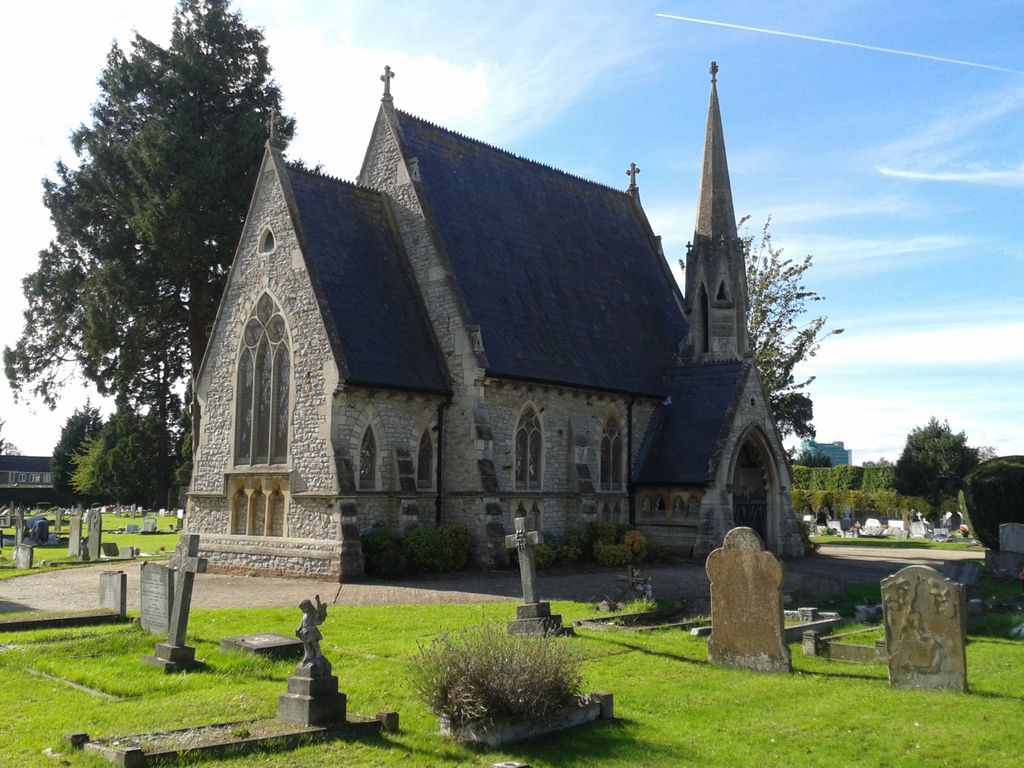
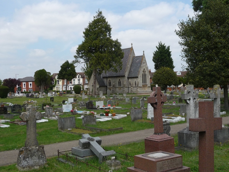
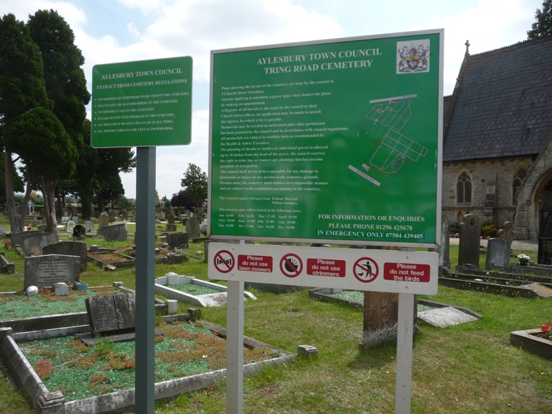
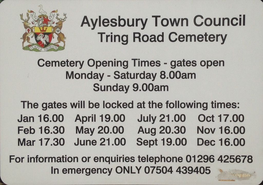
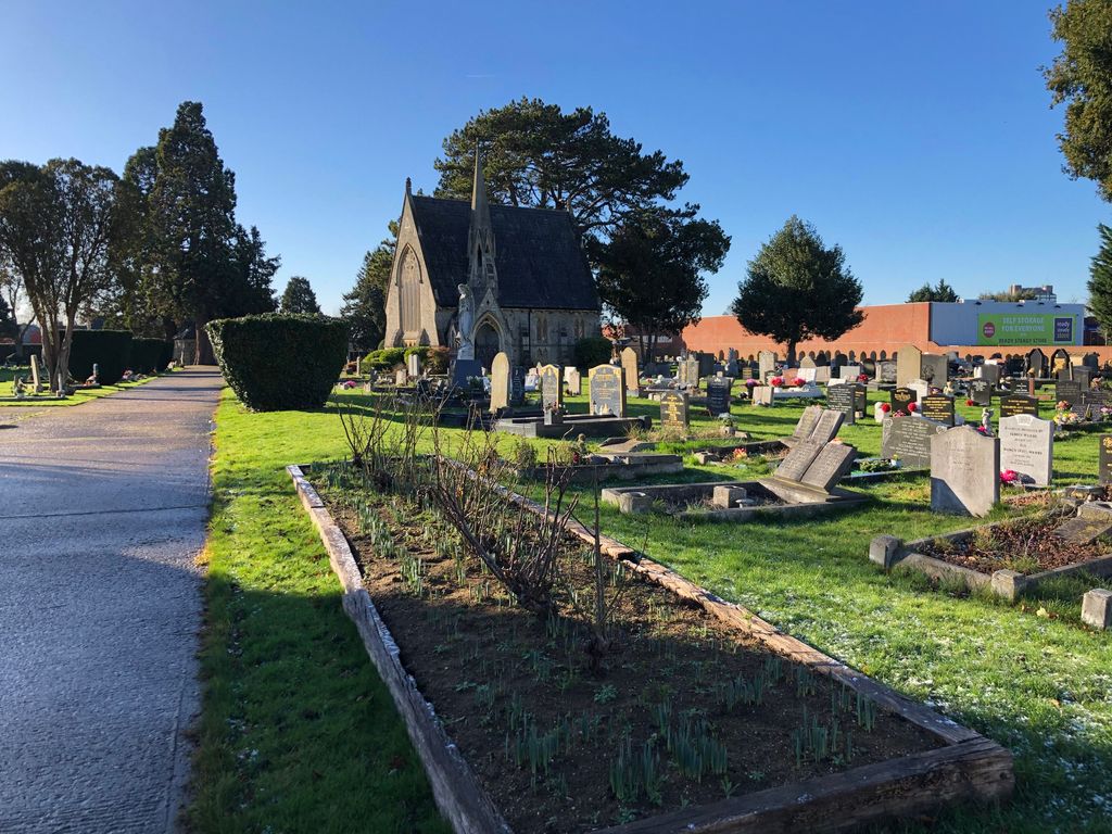
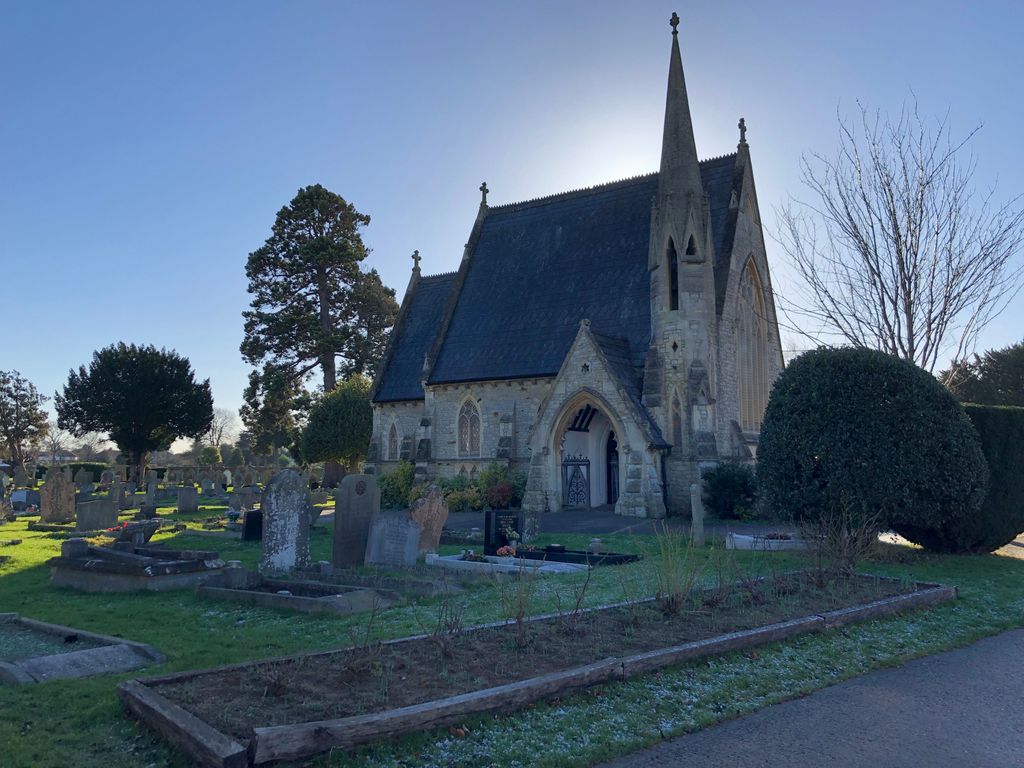
Where is Tring Road Cemetery?
Tring Road Cemetery is located at Tring Road Aylesbury, Aylesbury Vale District ,Buckinghamshire ,England.
-
Tring Road Cemetery cemetery's updated grave count on graveviews.com?
0 memorials
-
Where are the coordinates of the Tring Road Cemetery?
Latitude: 51.8149700
Longitude: -0.7979560
Nearby Cemetories:
1. Aylesbury Prison Cemetery
Aylesbury, Aylesbury Vale District, England
Coordinate: 51.8219070, -0.7995920
2. Castle Street Chapel Burial Ground
Aylesbury, Aylesbury Vale District, England
Coordinate: 51.8165570, -0.8157510
3. St Mary the Virgin Churchyard
Aylesbury, Aylesbury Vale District, England
Coordinate: 51.8178300, -0.8159800
4. St. James the Great Churchyard
Bierton-with-Broughton, Aylesbury Vale District, England
Coordinate: 51.8297345, -0.7880557
5. Aylesbury Vale Crematorium
Aylesbury Vale District, England
Coordinate: 51.8335320, -0.8115783
6. Bierton Strict Baptist Chapel Burial Ground
Bierton-with-Broughton, Aylesbury Vale District, England
Coordinate: 51.8333930, -0.7827580
7. Bierton Wesleyan Chapel
Bierton-with-Broughton, Aylesbury Vale District, England
Coordinate: 51.8333290, -0.7816600
8. St. Mary the Virgin Churchyard
Stoke Mandeville, Aylesbury Vale District, England
Coordinate: 51.7861990, -0.7913990
9. Bierton Crematorium
Bierton-with-Broughton, Aylesbury Vale District, England
Coordinate: 51.8441818, -0.7803867
10. St. Mary's Churchyard
Hartwell, Aylesbury Vale District, England
Coordinate: 51.8052662, -0.8484938
11. All Saints Churchyard
Hulcott, Aylesbury Vale District, England
Coordinate: 51.8423500, -0.7632300
12. St Mary the Virgin Churchyard
Weston Turville, Aylesbury Vale District, England
Coordinate: 51.7846280, -0.7557710
13. St. Peter's Churchyard
Quarrendon, Aylesbury Vale District, England
Coordinate: 51.8276630, -0.8616030
14. Weedon Methodist Chapelyard
Weedon, Aylesbury Vale District, England
Coordinate: 51.8554190, -0.8184970
15. Eythrope Road Cemetery
Stone, Aylesbury Vale District, England
Coordinate: 51.8068250, -0.8652493
16. St. John the Baptist Churchyard
Stone, Aylesbury Vale District, England
Coordinate: 51.8034640, -0.8644200
17. St. Michael and All Angels Churchyard
Aston Clinton, Aylesbury Vale District, England
Coordinate: 51.7993580, -0.7261320
18. St. Michael Churchyard
Halton, Aylesbury Vale District, England
Coordinate: 51.7828900, -0.7341500
19. St Mary the Virgin with Weedon Churchyard
Hardwick, Aylesbury Vale District, England
Coordinate: 51.8636070, -0.8301330
20. All Saints Churchyard
Buckland, Aylesbury Vale District, England
Coordinate: 51.8037310, -0.7134010
21. Saint Peter and Saint Paul Churchyard
Dinton, Aylesbury Vale District, England
Coordinate: 51.7931690, -0.8901620
22. St. James the Great Churchyard
Aston Abbotts, Aylesbury Vale District, England
Coordinate: 51.8742390, -0.7706790
23. All Saints Churchyard
Long Marston, Dacorum Borough, England
Coordinate: 51.8340100, -0.7029500
24. Ss. Peter and Paul Churchyard
Ellesborough, Wycombe District, England
Coordinate: 51.7528350, -0.7898410