
| Memorials | : | 0 |
| Location | : | Halton, Aylesbury Vale District, England |
| Coordinate | : | 51.7828900, -0.7341500 |
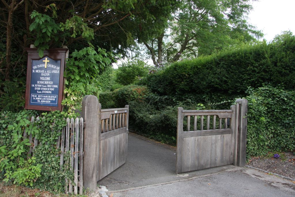
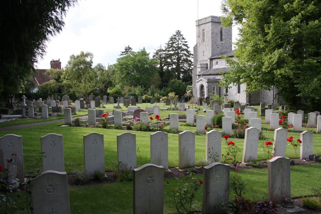
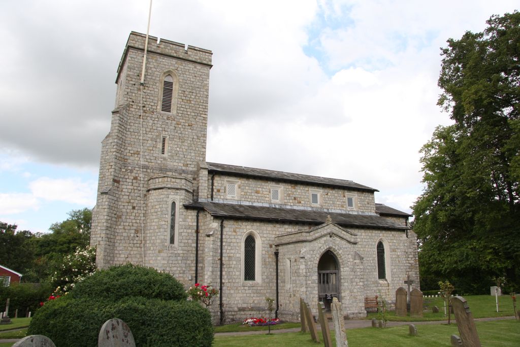
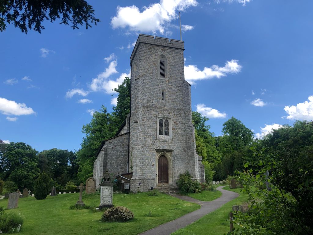
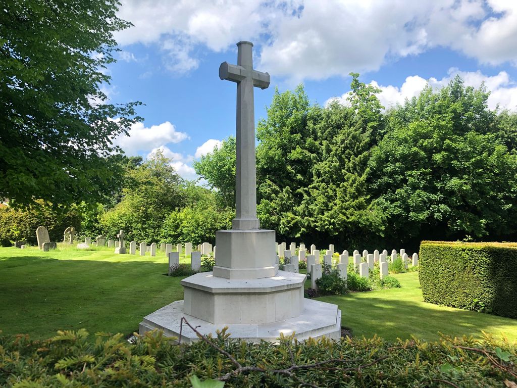
| Description | : | There is at Halton a permanent Royal Air Force station, dating from 1917 when it was opened as a training ground for the Royal Flying Corps, to become later the School of Technical Training. The 21st Division spent the winter of 1914-15 in Halton Camp. The churchyard, which is near the Royal Air Force station, has been used for R.A.F. burials since the 1914-1918 War. Most of the graves from that war are located in the North-Western part. In 1931, the Air Ministry gave to the ecclesiastical authorities, a piece of land to the east of (behind) the church so... Read More |
frequently asked questions (FAQ):
-
Where is St. Michael Churchyard?
St. Michael Churchyard is located at Halton, Aylesbury Vale District ,Buckinghamshire ,England.
-
St. Michael Churchyard cemetery's updated grave count on graveviews.com?
0 memorials
-
Where are the coordinates of the St. Michael Churchyard?
Latitude: 51.7828900
Longitude: -0.7341500
Nearby Cemetories:
1. St Mary the Virgin Churchyard
Weston Turville, Aylesbury Vale District, England
Coordinate: 51.7846280, -0.7557710
2. St. Michael and All Angels Churchyard
Aston Clinton, Aylesbury Vale District, England
Coordinate: 51.7993580, -0.7261320
3. All Saints Churchyard
Buckland, Aylesbury Vale District, England
Coordinate: 51.8037310, -0.7134010
4. St Mary Churchyard
Wendover, Aylesbury Vale District, England
Coordinate: 51.7578360, -0.7390050
5. St Mary the Virgin Churchyard
Drayton Beauchamp, Aylesbury Vale District, England
Coordinate: 51.7979700, -0.6936800
6. St. Mary the Virgin Churchyard
Stoke Mandeville, Aylesbury Vale District, England
Coordinate: 51.7861990, -0.7913990
7. Tring Cemetery
Tring, Dacorum Borough, England
Coordinate: 51.7893700, -0.6754900
8. Coombe Hill Second Boer War Monument
Wendover, Aylesbury Vale District, England
Coordinate: 51.7530340, -0.7716060
9. St. Leonard's Churchyard
St Leonards, Chiltern District, England
Coordinate: 51.7547000, -0.6830429
10. Akeman Street Baptist Churchyard
Tring, Dacorum Borough, England
Coordinate: 51.7929500, -0.6624700
11. Ss. Peter and Paul Churchyard
Ellesborough, Wycombe District, England
Coordinate: 51.7528350, -0.7898410
12. Wilstone Cemetery
Wilstone, Dacorum Borough, England
Coordinate: 51.8123300, -0.6773960
13. New Mill Baptist Church Cemetery
Tring, Dacorum Borough, England
Coordinate: 51.8048400, -0.6604100
14. Tring Road Cemetery
Aylesbury, Aylesbury Vale District, England
Coordinate: 51.8149700, -0.7979560
15. All Saints Churchyard
Little Kimble, Wycombe District, England
Coordinate: 51.7504600, -0.8042100
16. All Saints Churchyard
Long Marston, Dacorum Borough, England
Coordinate: 51.8340100, -0.7029500
17. St. Lawrence Churchyard
Cholesbury, Chiltern District, England
Coordinate: 51.7554990, -0.6550650
18. St. John The Baptist Churchyard
The Lee, Chiltern District, England
Coordinate: 51.7309539, -0.6998248
19. Aylesbury Prison Cemetery
Aylesbury, Aylesbury Vale District, England
Coordinate: 51.8219070, -0.7995920
20. St. Nicholas Churchyard
Great Kimble, Wycombe District, England
Coordinate: 51.7463600, -0.8053600
21. St. James the Great Churchyard
Bierton-with-Broughton, Aylesbury Vale District, England
Coordinate: 51.8297345, -0.7880557
22. Bierton Wesleyan Chapel
Bierton-with-Broughton, Aylesbury Vale District, England
Coordinate: 51.8333290, -0.7816600
23. Bierton Strict Baptist Chapel Burial Ground
Bierton-with-Broughton, Aylesbury Vale District, England
Coordinate: 51.8333930, -0.7827580
24. Little Hampden Churchyard
Little Hampden, Wycombe District, England
Coordinate: 51.7237241, -0.7556049