
| Memorials | : | 1 |
| Location | : | Browns Valley, Daviess County, USA |
| Coordinate | : | 37.6320700, -87.1150200 |
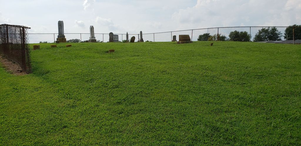
| Description | : | Located about 1 mile south of Browns Valley (approximately 9 miles south of Owensboro) on west side of U. S. Highway 431; about 1 mile north of Utica. Entered by Tom Humphrey |
frequently asked questions (FAQ):
-
Where is Trunnell Family Cemetery?
Trunnell Family Cemetery is located at Browns Valley, Daviess County ,Kentucky ,USA.
-
Trunnell Family Cemetery cemetery's updated grave count on graveviews.com?
1 memorials
-
Where are the coordinates of the Trunnell Family Cemetery?
Latitude: 37.6320700
Longitude: -87.1150200
Nearby Cemetories:
1. Saint Anthony Church Cemetery
Browns Valley, Daviess County, USA
Coordinate: 37.6431300, -87.1157100
2. Bethlehem Baptist Cemetery
Utica, Daviess County, USA
Coordinate: 37.6066000, -87.0986200
3. Utica Baptist Church Cemetery
Utica, Daviess County, USA
Coordinate: 37.6021300, -87.1182400
4. Hix Cemetery
Sutherland, Daviess County, USA
Coordinate: 37.6716580, -87.1088040
5. Hix Cemetery
Pettit, Daviess County, USA
Coordinate: 37.6716995, -87.1085968
6. Red Hill Cemetery
Utica, Daviess County, USA
Coordinate: 37.6165300, -87.0424000
7. Baird Family Cemetery
Glenville, Daviess County, USA
Coordinate: 37.6045640, -87.1835790
8. Mount Pleasant Cumberland Presbyterian Cemetery
Glenville, Daviess County, USA
Coordinate: 37.6211070, -87.1914960
9. Glenville Baptist Church Cemetery
Glenville, Daviess County, USA
Coordinate: 37.6085815, -87.1892014
10. Glenville Methodist Church Cemetery
Glenville, Daviess County, USA
Coordinate: 37.6083300, -87.1905000
11. Glenville Christian Church Cemetery
Glenville, Daviess County, USA
Coordinate: 37.6054040, -87.1909100
12. Green Brier Cemetery
Utica, Daviess County, USA
Coordinate: 37.5802900, -87.0578900
13. Nickel Ridge Cemetery
Panther, Daviess County, USA
Coordinate: 37.6505400, -87.2037100
14. Masonville United Methodist Church Cemetery
Masonville, Daviess County, USA
Coordinate: 37.6716900, -87.0358700
15. Smith-Ratliff Cemetery
McLean County, USA
Coordinate: 37.5645200, -87.1594300
16. Underwood Family Cemetery
McLean County, USA
Coordinate: 37.5542412, -87.1169968
17. McCormick Family Cemetery
Masonville, Daviess County, USA
Coordinate: 37.6967600, -87.0598830
18. Short Family Cemetery
Panther, Daviess County, USA
Coordinate: 37.6387040, -87.2234630
19. Mobberly Cemetery
Masonville, Daviess County, USA
Coordinate: 37.6778000, -87.0204600
20. Murphy Grave
Panther, Daviess County, USA
Coordinate: 37.6469530, -87.2270990
21. Pleasant Hope General Baptist Church Cemetery
Livermore, McLean County, USA
Coordinate: 37.5502205, -87.1675034
22. Brushy Fork Cemetery
Guffie, McLean County, USA
Coordinate: 37.6120370, -87.2289600
23. Atherton Cemetery
McLean County, USA
Coordinate: 37.5382996, -87.1057968
24. Leet-Wilhite Family Cemetery
Guffie, McLean County, USA
Coordinate: 37.6052100, -87.2320000