
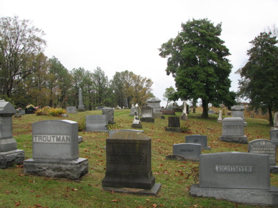
| Memorials | : | 63 |
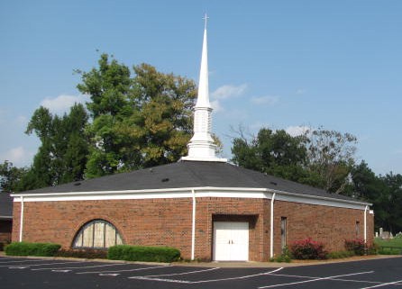
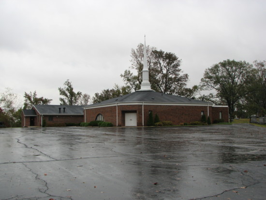
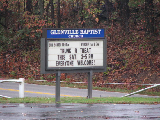
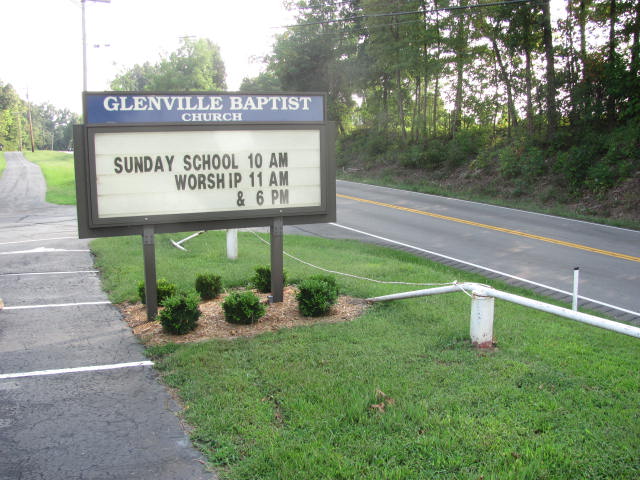
| Location | : | Glenville, Daviess County, USA |
| Coordinate | : | 37.6085815, -87.1892014 |
frequently asked questions (FAQ):
-
Where is Glenville Baptist Church Cemetery?
Glenville Baptist Church Cemetery is located at Glenville, Daviess County ,Kentucky ,USA.
-
Glenville Baptist Church Cemetery cemetery's updated grave count on graveviews.com?
59 memorials
-
Where are the coordinates of the Glenville Baptist Church Cemetery?
Latitude: 37.6085815
Longitude: -87.1892014
Nearby Cemetories:
1. Glenville Methodist Church Cemetery
Glenville, Daviess County, USA
Coordinate: 37.6083300, -87.1905000
2. Glenville Christian Church Cemetery
Glenville, Daviess County, USA
Coordinate: 37.6054040, -87.1909100
3. Baird Family Cemetery
Glenville, Daviess County, USA
Coordinate: 37.6045640, -87.1835790
4. Mount Pleasant Cumberland Presbyterian Cemetery
Glenville, Daviess County, USA
Coordinate: 37.6211070, -87.1914960
5. Brushy Fork Cemetery
Guffie, McLean County, USA
Coordinate: 37.6120370, -87.2289600
6. Leet-Wilhite Family Cemetery
Guffie, McLean County, USA
Coordinate: 37.6052100, -87.2320000
7. Short Family Cemetery
Panther, Daviess County, USA
Coordinate: 37.6387040, -87.2234630
8. Nickel Ridge Cemetery
Panther, Daviess County, USA
Coordinate: 37.6505400, -87.2037100
9. Dabney C Robertson Family Graveyard
Daviess County, USA
Coordinate: 37.6256720, -87.2453760
10. Murphy Grave
Panther, Daviess County, USA
Coordinate: 37.6469530, -87.2270990
11. Smith-Ratliff Cemetery
McLean County, USA
Coordinate: 37.5645200, -87.1594300
12. Oak Grove Cemetery
McLean County, USA
Coordinate: 37.5590591, -87.2065964
13. Johnson Family Graveyard
Calhoun, McLean County, USA
Coordinate: 37.5578295, -87.2134155
14. Mount Vernon Baptist Church Cemetery
Calhoun, McLean County, USA
Coordinate: 37.5772400, -87.2452011
15. Utica Baptist Church Cemetery
Utica, Daviess County, USA
Coordinate: 37.6021300, -87.1182400
16. Brushy Fork Cemetery
Panther, Daviess County, USA
Coordinate: 37.6375999, -87.2545013
17. Pleasant Hope General Baptist Church Cemetery
Livermore, McLean County, USA
Coordinate: 37.5502205, -87.1675034
18. Trunnell Family Cemetery
Browns Valley, Daviess County, USA
Coordinate: 37.6320700, -87.1150200
19. Mount Zion Methodist Episcopal Church Cemetery
Panther, Daviess County, USA
Coordinate: 37.6638700, -87.2325500
20. Nalley-Taylor Family Cemetery
Buel, McLean County, USA
Coordinate: 37.5433000, -87.1711000
21. Saint Anthony Church Cemetery
Browns Valley, Daviess County, USA
Coordinate: 37.6431300, -87.1157100
22. Bethlehem Baptist Cemetery
Utica, Daviess County, USA
Coordinate: 37.6066000, -87.0986200
23. Little Flock Cemetery
West Louisville, Daviess County, USA
Coordinate: 37.6369900, -87.2733300
24. Robert C. Moseley Family Cemetery
Cleopatra, McLean County, USA
Coordinate: 37.6136000, -87.2814400