
| Memorials | : | 0 |
| Location | : | Twickenham, Wheeler County, USA |
| Coordinate | : | 44.7675820, -120.1990560 |
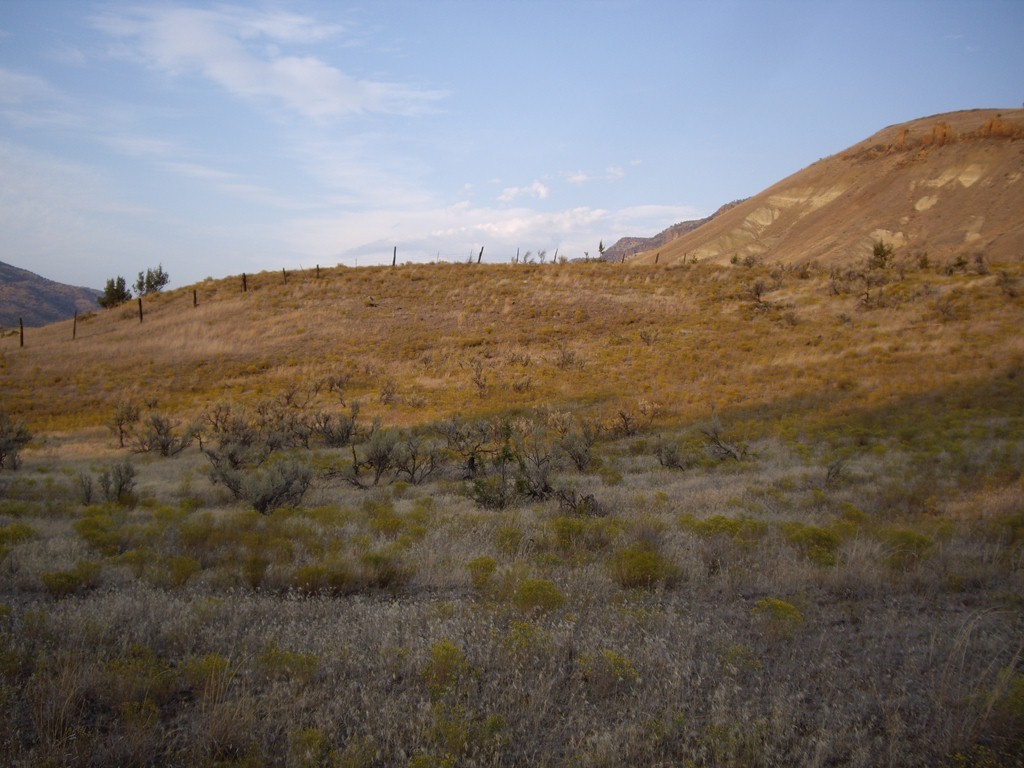
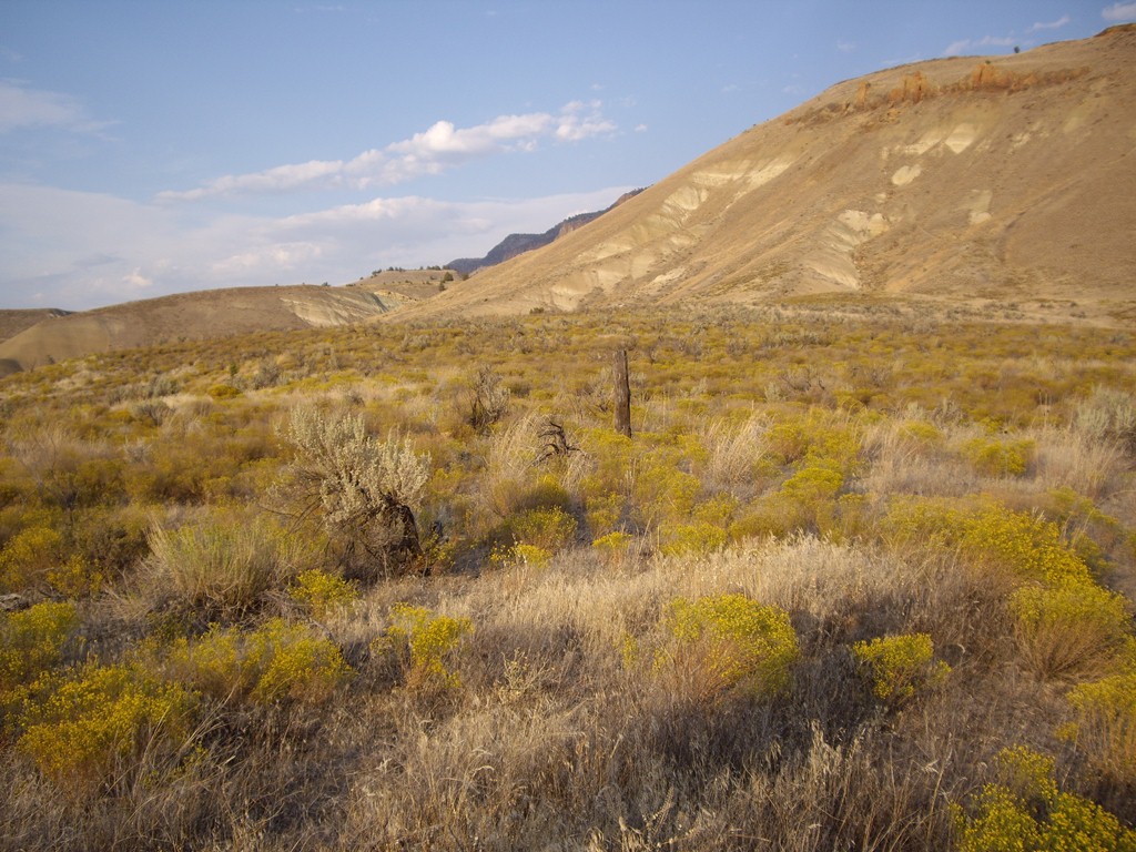
| Description | : | Go 2.4 miles north of the historical site of Twickenham (large bridge over the creek) on Rowe Creek Road (North Twickenham Road) past the cattle guard. There is a small bridge crossing Rowe Creek and a butte on the right. The cemetery has no access from the road and is located 500 yards behind the butte to the east, on the south side of the creek, near the fenceline. If coming from the north, watch for the Big Bottom Ranch on your left, it is the butte just beyond those signs. The cemetery is on private land.... Read More |
frequently asked questions (FAQ):
-
Where is Twickenham Cemetery?
Twickenham Cemetery is located at Twickenham, Wheeler County ,Oregon ,USA.
-
Twickenham Cemetery cemetery's updated grave count on graveviews.com?
0 memorials
-
Where are the coordinates of the Twickenham Cemetery?
Latitude: 44.7675820
Longitude: -120.1990560
Nearby Cemetories:
1. Burnt Ranch Cemetery
Mitchell, Wheeler County, USA
Coordinate: 44.7363440, -120.3314780
2. Carroll Cemetery
Mitchell, Wheeler County, USA
Coordinate: 44.6580009, -120.2342987
3. Richmond Cemetery
Wheeler County, USA
Coordinate: 44.7296982, -120.0105972
4. Richmond Cemetery
Richmond, Wheeler County, USA
Coordinate: 44.7311096, -119.9911118
5. Toney Cemetery
Mitchell, Wheeler County, USA
Coordinate: 44.6394500, -120.0818000
6. Lower Mitchell Cemetery
Mitchell, Wheeler County, USA
Coordinate: 44.5699387, -120.1636124
7. Mitchell Cemetery Upper
Mitchell, Wheeler County, USA
Coordinate: 44.5619850, -120.1425934
8. Fossil IOOF Cemetery
Fossil, Wheeler County, USA
Coordinate: 44.9925003, -120.2125015
9. Masonic Cemetery
Fossil, Wheeler County, USA
Coordinate: 45.0069008, -120.2055969
10. West Branch Cemetery
Wheeler County, USA
Coordinate: 44.5341988, -120.3080978
11. Foppiano Family Cemetery
Mitchell, Wheeler County, USA
Coordinate: 44.5954000, -119.9433000
12. Clarno Cemetery
Wasco County, USA
Coordinate: 44.9247000, -120.4791000
13. Winlock Cemetery
Winlock, Wheeler County, USA
Coordinate: 44.9124985, -119.8985977
14. James W. Chambers Burial Site
Fossil, Wheeler County, USA
Coordinate: 45.0325000, -120.1861000
15. Tillotson Cemetery
Wasco County, USA
Coordinate: 44.9406013, -120.4843979
16. Spray Cemetery
Spray, Wheeler County, USA
Coordinate: 44.8471985, -119.8110962
17. Caleb Cemetery
Mitchell, Wheeler County, USA
Coordinate: 44.5231018, -119.9383011
18. Mayville Cemetery
Mayville, Gilliam County, USA
Coordinate: 45.0978012, -120.2027969
19. Haystack Cemetery
Wheeler County, USA
Coordinate: 44.8800011, -119.7352982
20. Buckhorn Cemetery
Mitchell, Wheeler County, USA
Coordinate: 44.6240730, -119.7498810
21. Lost Valley Cemetery
Gilliam County, USA
Coordinate: 45.0778008, -119.9693985
22. Camp Watson Cemetery
Mitchell, Wheeler County, USA
Coordinate: 44.4844437, -119.8994675
23. Papersack Cemetery
Gilliam County, USA
Coordinate: 45.1324997, -120.0699997
24. Antelope Old Cemetery
Antelope, Wasco County, USA
Coordinate: 44.9260902, -120.6947784