| Memorials | : | 0 |
| Location | : | Mitchell, Wheeler County, USA |
| Coordinate | : | 44.5954000, -119.9433000 |
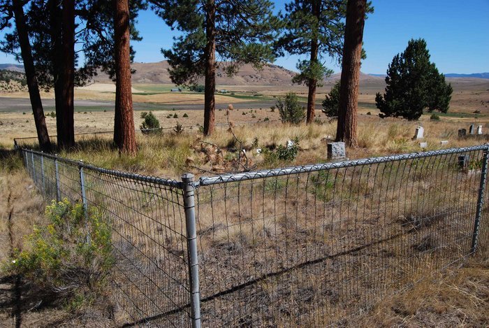
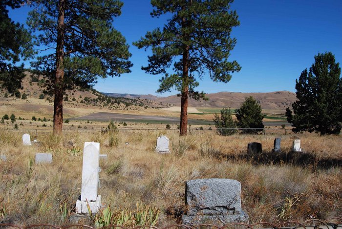
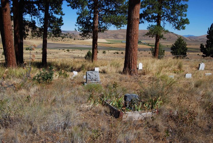
| Description | : | Also known as COLLINS CEMETERY. The Collins Family married into the Foppiano Family. East of Mitchell at approximately milepost 75 turn north onto Waterman Flat Road. Travel 6.4 miles and turn left through a locked gate (permission must be obtained from the Owner or the Manager who lives across the highway from the gate). Then travel .6 mile and turn left through an open gate and travel .3 mile to the cemetery. The oldest burial in this cemetery appears to be Edna Foppiano born 30 Apr 1882 and died 24 May 1885 aged 3 years old. I photographed the entire... Read More |
frequently asked questions (FAQ):
-
Where is Foppiano Family Cemetery?
Foppiano Family Cemetery is located at Mitchell, Wheeler County ,Oregon ,USA.
-
Foppiano Family Cemetery cemetery's updated grave count on graveviews.com?
0 memorials
-
Where are the coordinates of the Foppiano Family Cemetery?
Latitude: 44.5954000
Longitude: -119.9433000
Nearby Cemetories:
1. Caleb Cemetery
Mitchell, Wheeler County, USA
Coordinate: 44.5231018, -119.9383011
2. Toney Cemetery
Mitchell, Wheeler County, USA
Coordinate: 44.6394500, -120.0818000
3. Camp Watson Cemetery
Mitchell, Wheeler County, USA
Coordinate: 44.4844437, -119.8994675
4. Richmond Cemetery
Richmond, Wheeler County, USA
Coordinate: 44.7311096, -119.9911118
5. Buckhorn Cemetery
Mitchell, Wheeler County, USA
Coordinate: 44.6240730, -119.7498810
6. Richmond Cemetery
Wheeler County, USA
Coordinate: 44.7296982, -120.0105972
7. Mitchell Cemetery Upper
Mitchell, Wheeler County, USA
Coordinate: 44.5619850, -120.1425934
8. Frederic Arnecke Burial Site
Wheeler County, USA
Coordinate: 44.4740700, -119.8121100
9. Mary Waterman Burial Site
Mitchell, Wheeler County, USA
Coordinate: 44.4727402, -119.8117371
10. Lower Mitchell Cemetery
Mitchell, Wheeler County, USA
Coordinate: 44.5699387, -120.1636124
11. Spanish Gulch Cemetery
Wheeler County, USA
Coordinate: 44.4667015, -119.7722015
12. Carroll Cemetery
Mitchell, Wheeler County, USA
Coordinate: 44.6580009, -120.2342987
13. Twickenham Cemetery
Twickenham, Wheeler County, USA
Coordinate: 44.7675820, -120.1990560
14. West Branch Cemetery
Wheeler County, USA
Coordinate: 44.5341988, -120.3080978
15. Spray Cemetery
Spray, Wheeler County, USA
Coordinate: 44.8471985, -119.8110962
16. Lowrey Family Burial Site
Crook County, USA
Coordinate: 44.3641600, -120.1516200
17. Dayville Cemetery
Dayville, Grant County, USA
Coordinate: 44.4834222, -119.5748805
18. Burnt Ranch Cemetery
Mitchell, Wheeler County, USA
Coordinate: 44.7363440, -120.3314780
19. Winlock Cemetery
Winlock, Wheeler County, USA
Coordinate: 44.9124985, -119.8985977
20. Haystack Cemetery
Wheeler County, USA
Coordinate: 44.8800011, -119.7352982
21. Aldrich Gravesite
Grant County, USA
Coordinate: 44.4528008, -119.4499969
22. Cupper Canyon Cemetery
Monument, Grant County, USA
Coordinate: 44.8374300, -119.5015100
23. Beaver Creek Cemetery
Paulina, Crook County, USA
Coordinate: 44.1847000, -119.8332977
24. John Calbreath Gravesite
Paulina, Crook County, USA
Coordinate: 44.2064500, -119.7024300


