
| Memorials | : | 1 |
| Location | : | Mitchell, Wheeler County, USA |
| Coordinate | : | 44.5699387, -120.1636124 |
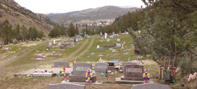
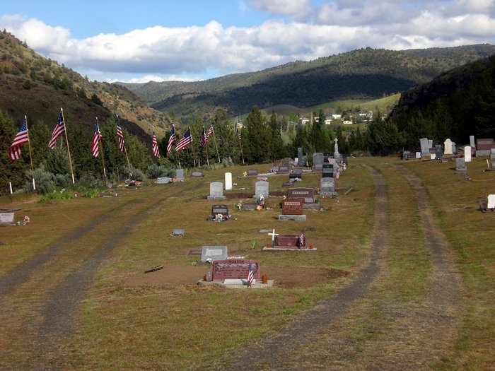
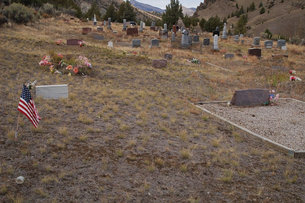
| Description | : | There are two cemeteries in Mitchell, Oregon. They are commonly known as the "Lower Cemetery" and the "Upper Cemetery". |
frequently asked questions (FAQ):
-
Where is Lower Mitchell Cemetery?
Lower Mitchell Cemetery is located at Ochoco Hwy US-26 Mitchell, Wheeler County ,Oregon , 97750USA.
-
Lower Mitchell Cemetery cemetery's updated grave count on graveviews.com?
1 memorials
-
Where are the coordinates of the Lower Mitchell Cemetery?
Latitude: 44.5699387
Longitude: -120.1636124
Nearby Cemetories:
1. Mitchell Cemetery Upper
Mitchell, Wheeler County, USA
Coordinate: 44.5619850, -120.1425934
2. Toney Cemetery
Mitchell, Wheeler County, USA
Coordinate: 44.6394500, -120.0818000
3. Carroll Cemetery
Mitchell, Wheeler County, USA
Coordinate: 44.6580009, -120.2342987
4. West Branch Cemetery
Wheeler County, USA
Coordinate: 44.5341988, -120.3080978
5. Foppiano Family Cemetery
Mitchell, Wheeler County, USA
Coordinate: 44.5954000, -119.9433000
6. Caleb Cemetery
Mitchell, Wheeler County, USA
Coordinate: 44.5231018, -119.9383011
7. Richmond Cemetery
Wheeler County, USA
Coordinate: 44.7296982, -120.0105972
8. Twickenham Cemetery
Twickenham, Wheeler County, USA
Coordinate: 44.7675820, -120.1990560
9. Richmond Cemetery
Richmond, Wheeler County, USA
Coordinate: 44.7311096, -119.9911118
10. Burnt Ranch Cemetery
Mitchell, Wheeler County, USA
Coordinate: 44.7363440, -120.3314780
11. Lowrey Family Burial Site
Crook County, USA
Coordinate: 44.3641600, -120.1516200
12. Camp Watson Cemetery
Mitchell, Wheeler County, USA
Coordinate: 44.4844437, -119.8994675
13. Frederic Arnecke Burial Site
Wheeler County, USA
Coordinate: 44.4740700, -119.8121100
14. Mary Waterman Burial Site
Mitchell, Wheeler County, USA
Coordinate: 44.4727402, -119.8117371
15. Howard Cemetery
Crook County, USA
Coordinate: 44.3736000, -120.4625015
16. Spanish Gulch Cemetery
Wheeler County, USA
Coordinate: 44.4667015, -119.7722015
17. Buckhorn Cemetery
Mitchell, Wheeler County, USA
Coordinate: 44.6240730, -119.7498810
18. Spray Cemetery
Spray, Wheeler County, USA
Coordinate: 44.8471985, -119.8110962
19. Winlock Cemetery
Winlock, Wheeler County, USA
Coordinate: 44.9124985, -119.8985977
20. Clarno Cemetery
Wasco County, USA
Coordinate: 44.9247000, -120.4791000
21. Fossil IOOF Cemetery
Fossil, Wheeler County, USA
Coordinate: 44.9925003, -120.2125015
22. Dayville Cemetery
Dayville, Grant County, USA
Coordinate: 44.4834222, -119.5748805
23. Mill Creek Cemetery
Crook County, USA
Coordinate: 44.3208008, -120.6611023
24. Haystack Cemetery
Wheeler County, USA
Coordinate: 44.8800011, -119.7352982