| Memorials | : | 0 |
| Location | : | Bradford, Metropolitan Borough of Bradford, England |
| Website | : | www.undercliffecemetery.co.uk/ |
| Coordinate | : | 53.8040466, -1.7383590 |
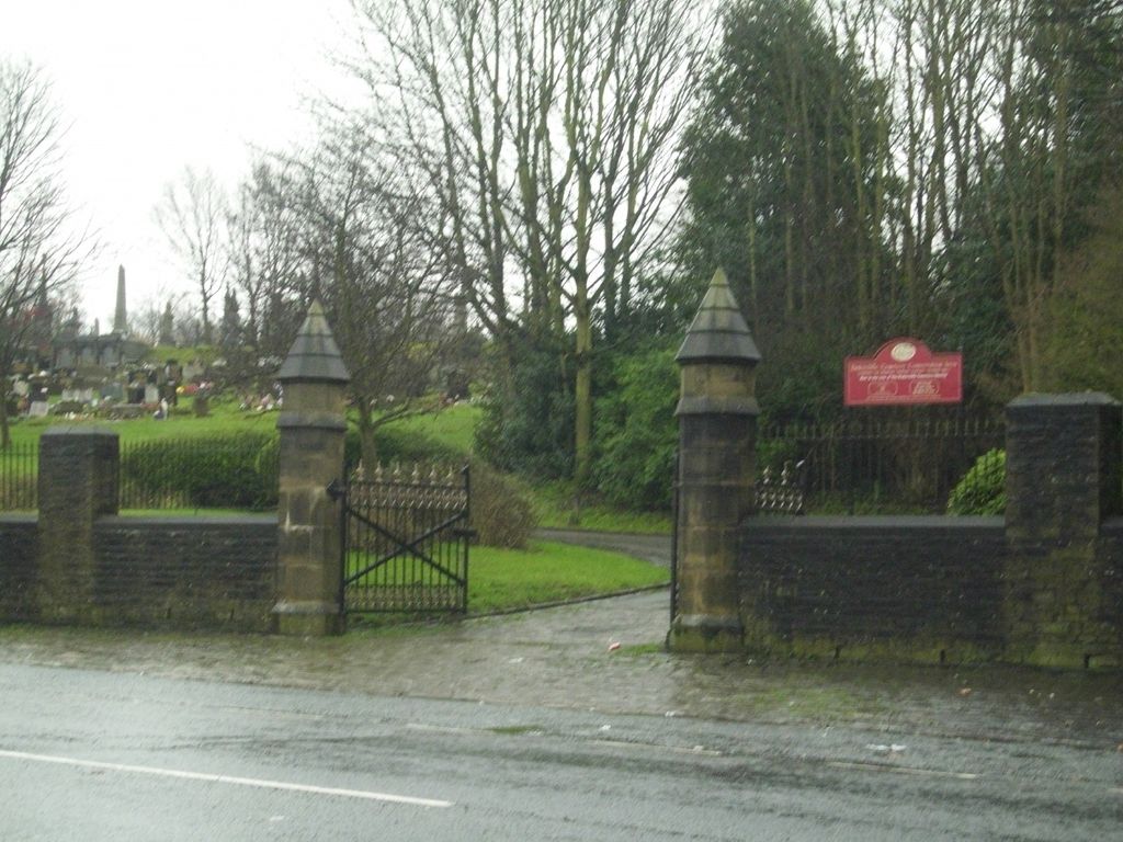
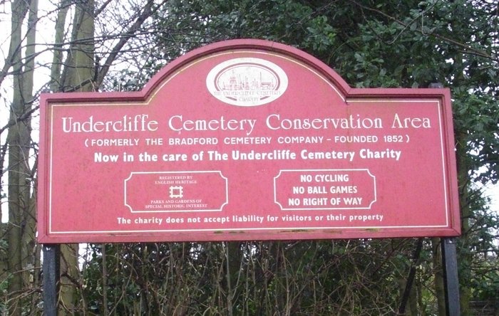
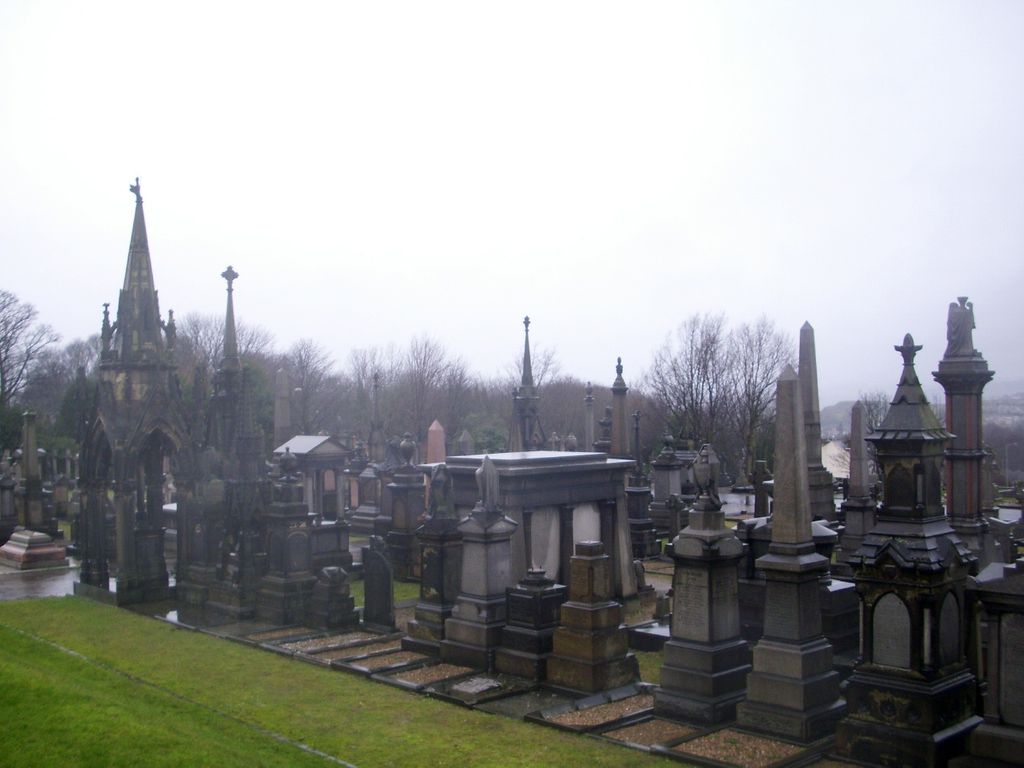
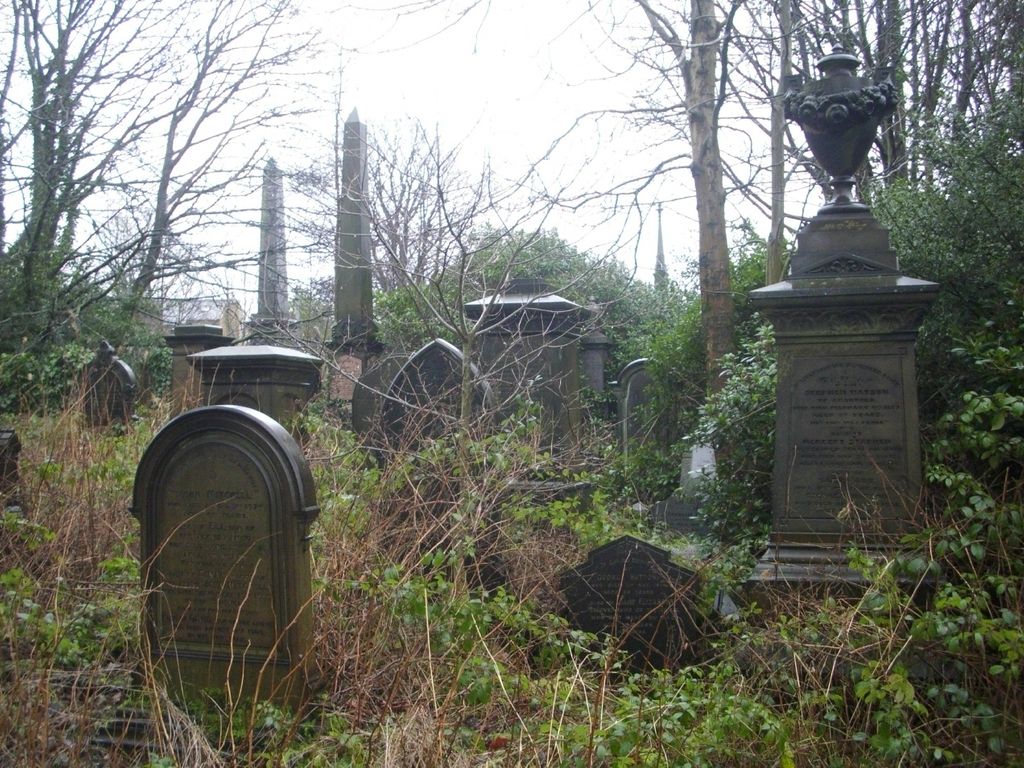
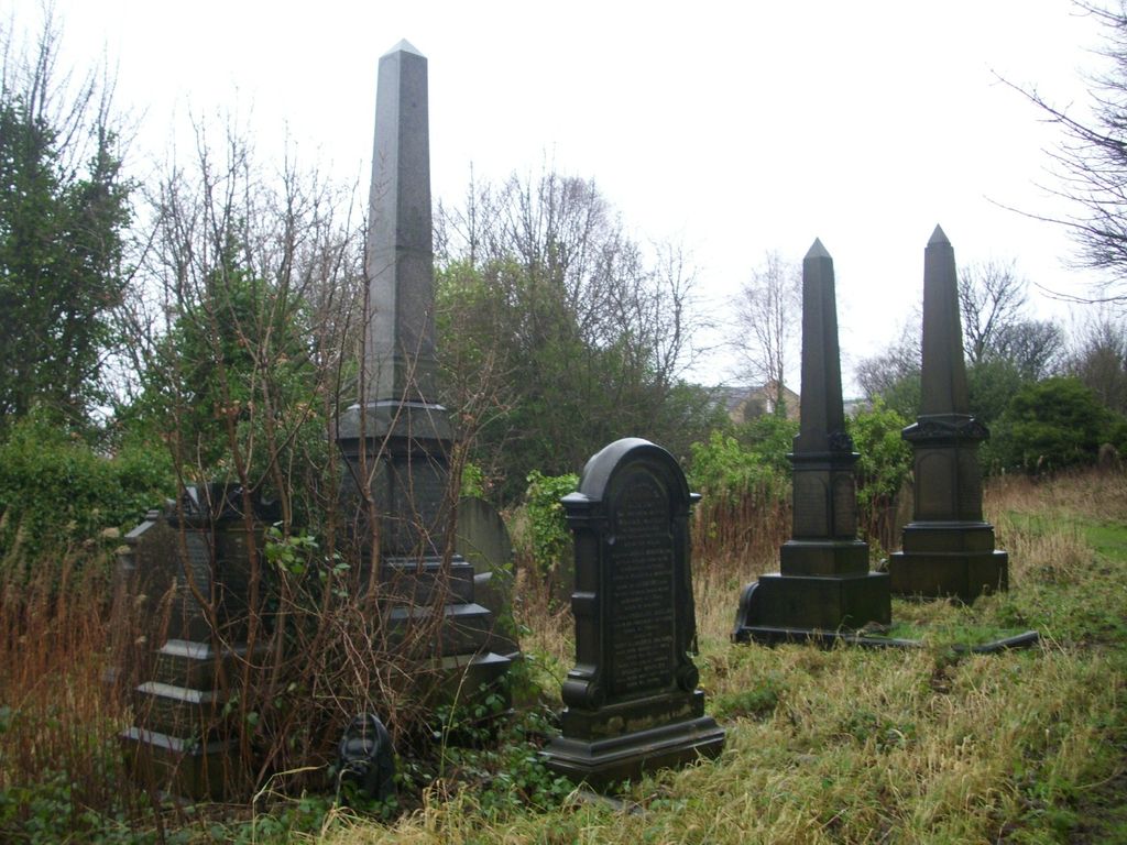
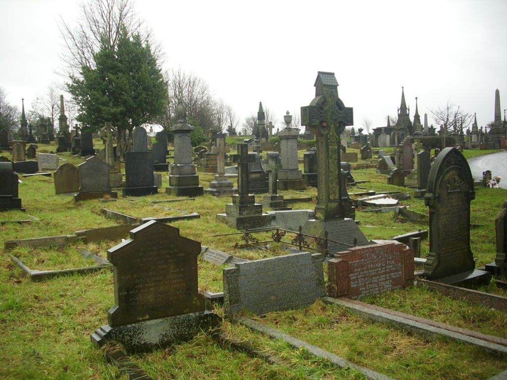
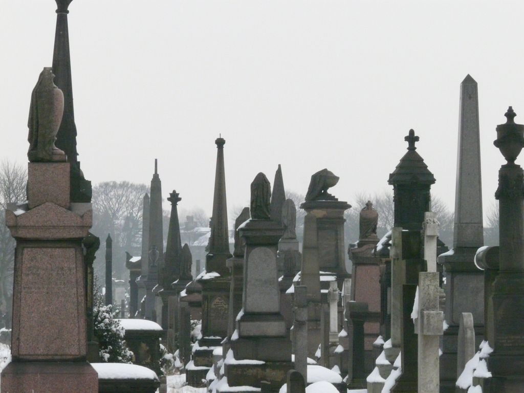
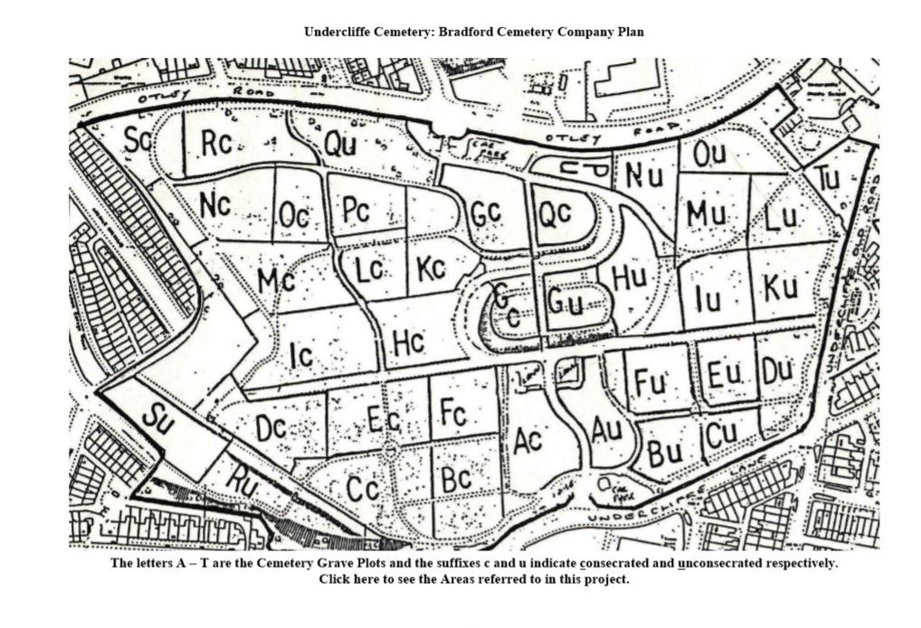
| Description | : | The Bradford Cemetery Company was provisionally registered in 1849. By 1850 the businessmen agreed that the best site for the new cemetery was in the Undercliffe area on the outskirts of the town. In August 1854 the Bishop of Ripon consecrated the Western side of the cemetery for the burial of Anglicans. The smaller Eastern section was left for the interment of Nonconformists. Two mortuary chapels were built in 1854, but replaced 24 years later by larger ones designed by the prestigious firm of Lockwood and Mawson. Over time there was a decline in interments that reflects the change in... Read More |
frequently asked questions (FAQ):
-
Where is Undercliffe Cemetery?
Undercliffe Cemetery is located at Bradford, Metropolitan Borough of Bradford ,West Yorkshire ,England.
-
Undercliffe Cemetery cemetery's updated grave count on graveviews.com?
0 memorials
-
Where are the coordinates of the Undercliffe Cemetery?
Latitude: 53.8040466
Longitude: -1.7383590
Nearby Cemetories:
1. St Andrew's Undercliffe Methodist Church Graveyard
Bradford, Metropolitan Borough of Bradford, England
Coordinate: 53.8082733, -1.7303250
2. Bradford Cathedral
Bradford, Metropolitan Borough of Bradford, England
Coordinate: 53.7953600, -1.7479800
3. East Brook Chapel
Bradford, Metropolitan Borough of Bradford, England
Coordinate: 53.7934570, -1.7464240
4. Our Lady of Perpetual Succour & St Cla
Bradford, Metropolitan Borough of Bradford, England
Coordinate: 53.8078740, -1.7188450
5. Toad Lane Presbyterian Chapel Graveyard
Bradford, Metropolitan Borough of Bradford, England
Coordinate: 53.7921690, -1.7543550
6. St Luke Churchyard
Bradford, Metropolitan Borough of Bradford, England
Coordinate: 53.8159600, -1.7200700
7. Congregational Chapel
Bradford, Metropolitan Borough of Bradford, England
Coordinate: 53.7910653, -1.7567839
8. Salem Congregational Chapel Chapelyard
Bradford, Metropolitan Borough of Bradford, England
Coordinate: 53.8191010, -1.7193240
9. Our Lady & St Francis of Assisi Churchyard
Bradford, Metropolitan Borough of Bradford, England
Coordinate: 53.8235700, -1.7343160
10. St Paul Churchyard
Manningham, Metropolitan Borough of Bradford, England
Coordinate: 53.8069700, -1.7723700
11. Norman Lane Methodist Burial Ground
Idle, Metropolitan Borough of Bradford, England
Coordinate: 53.8232117, -1.7268900
12. St. John's Church, Bowling
Bradford, Metropolitan Borough of Bradford, England
Coordinate: 53.7827200, -1.7322190
13. St Margaret's Church of England
Fritzinghall, Metropolitan Borough of Bradford, England
Coordinate: 53.8233290, -1.7730530
14. St Stephen Churchyard
West Bowling, Metropolitan Borough of Bradford, England
Coordinate: 53.7783440, -1.7578570
15. Thorpe Wesleyan Methodist Chapelyard
Idle, Metropolitan Borough of Bradford, England
Coordinate: 53.8343600, -1.7280700
16. Thorpe Wesleyan Methodist Cemetery
Idle, Metropolitan Borough of Bradford, England
Coordinate: 53.8350900, -1.7259800
17. Heaton Baptist Highgate Cemetery
Heaton, Metropolitan Borough of Bradford, England
Coordinate: 53.8162500, -1.7884300
18. Bowling Cemetery
West Bowling, Metropolitan Borough of Bradford, England
Coordinate: 53.7714844, -1.7370390
19. Friends Burial Ground
Idle, Metropolitan Borough of Bradford, England
Coordinate: 53.8367910, -1.7397990
20. Windhill Cemetery
Shipley, Metropolitan Borough of Bradford, England
Coordinate: 53.8315100, -1.7694400
21. Upper Chapel Congregational Chapelyard
Idle, Metropolitan Borough of Bradford, England
Coordinate: 53.8371300, -1.7353800
22. Friends Burial Ground
Bradford, Metropolitan Borough of Bradford, England
Coordinate: 53.7788470, -1.7747890
23. Upper Chapel Congregational Old Cemetery
Idle, Metropolitan Borough of Bradford, England
Coordinate: 53.8374500, -1.7355600
24. Upper Chapel Congregational New Cemetery
Idle, Metropolitan Borough of Bradford, England
Coordinate: 53.8375900, -1.7366700

