
| Memorials | : | 19 |
| Location | : | Grand Forks, Kootenay Boundary Regional District, Canada |
| Coordinate | : | 49.0159500, -118.4964300 |
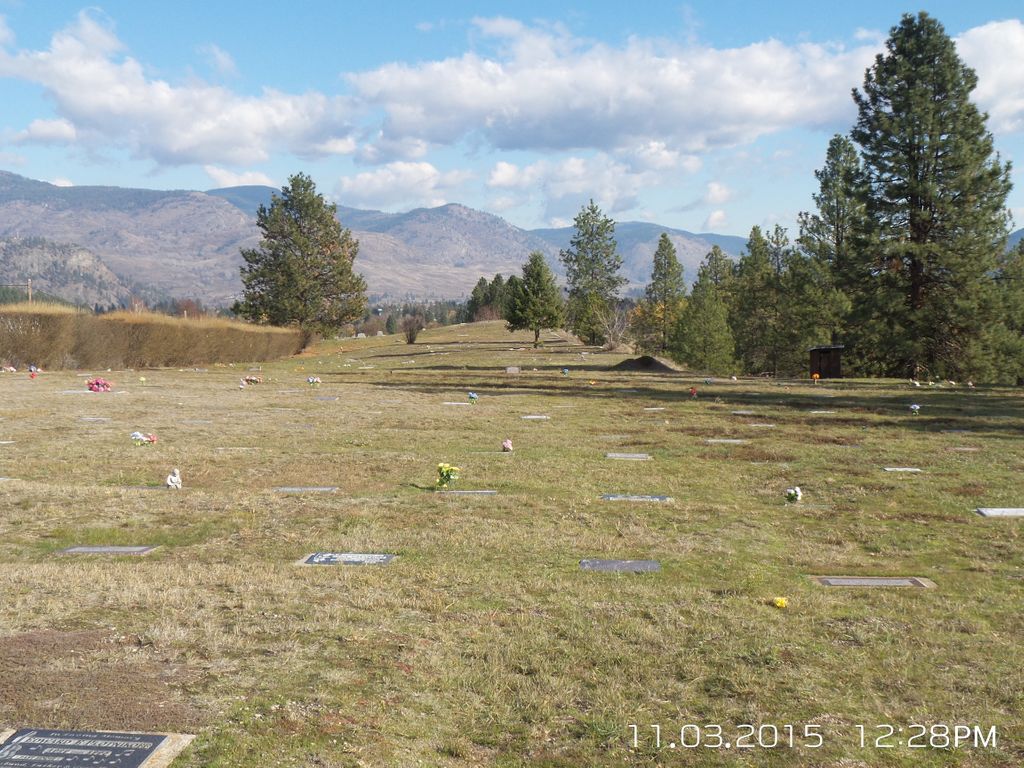
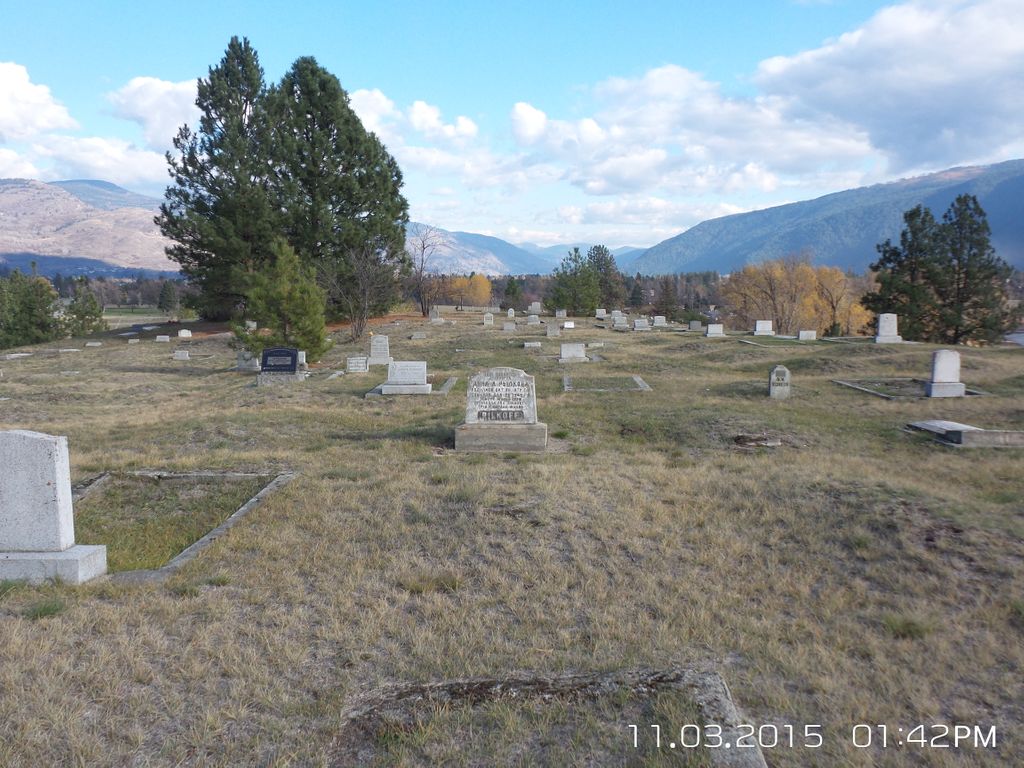
| Description | : | Sion Cemetery was established in 1909 by the Christian Community of Universal Brotherhood (CCUB) to serve the Sion settlement area. After the demise of the CCUB in 1937-1939, the cemetery continued to be use by its successor organization, the Union of Spiritual Communities of Christ (USCC). It is in active use and is privately owned and maintained. |
frequently asked questions (FAQ):
-
Where is USCC Sion Cemetery?
USCC Sion Cemetery is located at Lot 30, District Lot 452, Similkameen Division, Yale District, Plan 8151 Grand Forks, Kootenay Boundary Regional District ,British Columbia ,Canada.
-
USCC Sion Cemetery cemetery's updated grave count on graveviews.com?
17 memorials
-
Where are the coordinates of the USCC Sion Cemetery?
Latitude: 49.0159500
Longitude: -118.4964300
Nearby Cemetories:
1. Outlook Khristovoye Doukhobor Cemetery
Grand Forks, Kootenay Boundary Regional District, Canada
Coordinate: 49.0402930, -118.4835600
2. Danville Cemetery
Ferry County, USA
Coordinate: 48.9885640, -118.5151702
3. Evergreen Cemetery
Grand Forks, Kootenay Boundary Regional District, Canada
Coordinate: 49.0243650, -118.4520650
4. Gilpin Cemetery # 1
Gilpin, Kootenay Boundary Regional District, Canada
Coordinate: 49.0090920, -118.3181980
5. Phoenix Cemetery
Greenwood, Kootenay Boundary Regional District, Canada
Coordinate: 49.1019000, -118.6285500
6. Gilpin Cemetery # 2
Gilpin, Kootenay Boundary Regional District, Canada
Coordinate: 49.0084500, -118.3073490
7. Curlew Indian Cemetery
Curlew, Ferry County, USA
Coordinate: 48.8811145, -118.6002982
8. Merritt Pioneer Grave
Curlew, Ferry County, USA
Coordinate: 48.8745300, -118.6020000
9. Curlew City Cemetery
Curlew, Ferry County, USA
Coordinate: 48.8734163, -118.6010599
10. Greenwood Cemetery
Greenwood, Kootenay Boundary Regional District, Canada
Coordinate: 49.1250200, -118.6836000
11. Village of Midway Cemetery
Midway, Kootenay Boundary Regional District, Canada
Coordinate: 49.0082520, -118.7609490
12. Cascade Cemetery
Cascade, Kootenay Boundary Regional District, Canada
Coordinate: 49.0188990, -118.2247300
13. Laurier Cemetery
Ferry County, USA
Coordinate: 48.9855500, -118.2189000
14. Ranald McDonald Cemetery
Toroda, Ferry County, USA
Coordinate: 48.9472094, -118.7617135
15. Somday Family Cemetery
Malo, Ferry County, USA
Coordinate: 48.8290000, -118.5990000
16. Eagle Cliff Cemetery
Toroda, Ferry County, USA
Coordinate: 48.9404375, -118.7946296
17. Orient Cemetery
Orient, Ferry County, USA
Coordinate: 48.8578987, -118.2032013
18. Kelly Hill Cemetery
Stevens County, USA
Coordinate: 48.8130989, -118.1268997
19. Pia Mission Cemetery
Stevens County, USA
Coordinate: 48.7960700, -118.1097300
20. Thorp Cemetery
Chesaw, Okanogan County, USA
Coordinate: 48.9549900, -119.0316700
21. Chesaw Cemetery
Okanogan County, USA
Coordinate: 48.9299900, -119.0541800
22. Green Mountain Cemetery
Stevens County, USA
Coordinate: 48.7200180, -118.1178760
23. Republic Cemetery
Republic, Ferry County, USA
Coordinate: 48.6555363, -118.7218022
24. Thomason Ranch Graves
Okanogan County, USA
Coordinate: 48.7757200, -118.9821900