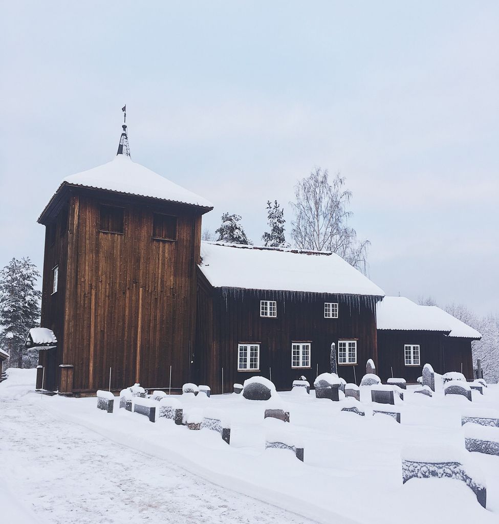
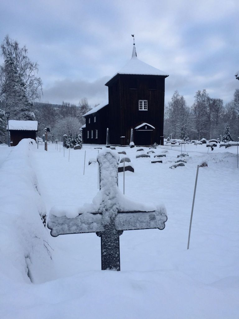
| Memorials | : | 0 |
| Location | : | Honefoss, Ringerike kommune, Norway |
| Coordinate | : | 60.4494390, 10.0396660 |
frequently asked questions (FAQ):
-
Where is Viker Church Cemetery?
Viker Church Cemetery is located at Honefoss, Ringerike kommune ,Buskerud fylke ,Norway.
-
Viker Church Cemetery cemetery's updated grave count on graveviews.com?
0 memorials
-
Where are the coordinates of the Viker Church Cemetery?
Latitude: 60.4494390
Longitude: 10.0396660
Nearby Cemetories:
1. Hval kirke
Hallingby, Ringerike kommune, Norway
Coordinate: 60.2680710, 10.1758810
2. Enger kirkegård
Enger, Søndre Land kommune, Norway
Coordinate: 60.5801000, 10.3338000
3. Nes Kirke
Gran, Gran kommune, Norway
Coordinate: 60.4299340, 10.4542530
4. Tingelstad
Gran, Gran kommune, Norway
Coordinate: 60.3942850, 10.4854130
5. Hedalen Cemetery
Hedalen, Sør-Aurdal kommune, Norway
Coordinate: 60.6226500, 9.6905850
6. Granavoll Cemetery
Gran, Gran kommune, Norway
Coordinate: 60.3664590, 10.5294870
7. Jevnaker Church Cemetery
Jevnaker, Jevnaker kommune, Norway
Coordinate: 60.2578080, 10.4337550
8. Flaa Cemetery
Ler, Melhus kommune, Norway
Coordinate: 60.4284681, 9.4662050
9. Lunner Cemetery
Lunner, Lunner kommune, Norway
Coordinate: 60.3072200, 10.5587200
10. Haug Cemetery
Honefoss, Ringerike kommune, Norway
Coordinate: 60.1740280, 10.3206160
11. Oppdalen Church Cemetery
Lunner, Lunner kommune, Norway
Coordinate: 60.3041027, 10.6491884
12. Norderhov Church Cemetery
Honefoss, Ringerike kommune, Norway
Coordinate: 60.1313480, 10.2694300
13. Fluberg kirke
Fluberg, Søndre Land kommune, Norway
Coordinate: 60.7758230, 10.2467960
14. Hole Church Cemetery
Hole kommune, Norway
Coordinate: 60.0975800, 10.2165600
15. Tyristrand Cemetery
Tyristrand, Ringerike kommune, Norway
Coordinate: 60.0860800, 10.0974900
16. Leirskogen Cemetery
Begndal, Sør-Aurdal kommune, Norway
Coordinate: 60.7977150, 9.6832080
17. Aas Churchyard
Raufoss, Vestre Toten kommune, Norway
Coordinate: 60.6693210, 10.6990180
18. Eggedal Kirke
Eggedal, Sigdal kommune, Norway
Coordinate: 60.2463170, 9.3573130
19. Ostsinni Church Cemetery
Dokka, Nordre Land kommune, Norway
Coordinate: 60.8490580, 10.0783310
20. Kolbu Kirke Churchyard
Østre Toten kommune, Norway
Coordinate: 60.6293210, 10.7737690
21. Snarum
Snarum, Modum kommune, Norway
Coordinate: 60.0258190, 9.8682140
22. Vardal kirkegård
Bybrua, Gjøvik kommune, Norway
Coordinate: 60.8161530, 10.5234840
23. Bagn Cemetery
Bagn, Sør-Aurdal kommune, Norway
Coordinate: 60.8201360, 9.5629660
24. Hoff Church Cemetery
Lena, Østre Toten kommune, Norway
Coordinate: 60.6847580, 10.8444930


