
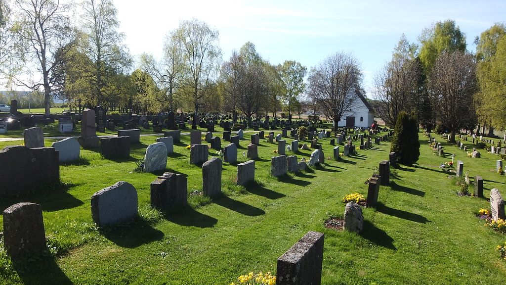
| Memorials | : | 0 |
| Location | : | Hole kommune, Norway |
| Coordinate | : | 60.0975800, 10.2165600 |
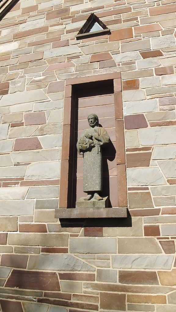
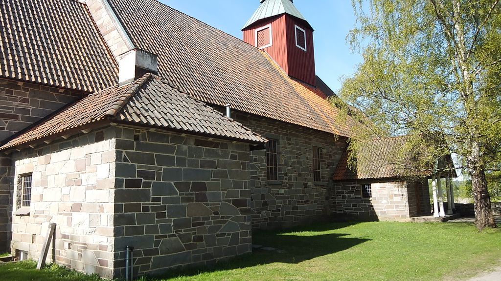
| Description | : | Note when reading gravestone. A star before a date is the birthdate, a cross is death date. Also the date reads DATE, MONTH, YEAR, please be careful when transcribing. This little church is just 5km from the Norderhov Church in Honefoss, perhaps what findagrave calls Hole Herad. Wikepedia states that "Hole is a municipality in Buskerud county, Norway. It is part of the traditional region of Ringerike. The administrative centre of the municipality is the village of Vik." But traveling to this area I did not see any sign for the village Vik. The church is visible on a hill from... Read More |
frequently asked questions (FAQ):
-
Where is Hole Church Cemetery?
Hole Church Cemetery is located at Hole kommune ,Buskerud fylke ,Norway.
-
Hole Church Cemetery cemetery's updated grave count on graveviews.com?
0 memorials
-
Where are the coordinates of the Hole Church Cemetery?
Latitude: 60.0975800
Longitude: 10.2165600


Nearby Cemetories:
1. Norderhov Church Cemetery
Honefoss, Ringerike kommune, Norway
Coordinate: 60.1313480, 10.2694300
2. Tyristrand Cemetery
Tyristrand, Ringerike kommune, Norway
Coordinate: 60.0860800, 10.0974900
3. Haug Cemetery
Honefoss, Ringerike kommune, Norway
Coordinate: 60.1740280, 10.3206160
4. Hval kirke
Hallingby, Ringerike kommune, Norway
Coordinate: 60.2680710, 10.1758810
5. Snarum
Snarum, Modum kommune, Norway
Coordinate: 60.0258190, 9.8682140
6. Heggen Kirkegaard
Modum kommune, Norway
Coordinate: 59.9408250, 10.0006690
7. Jevnaker Church Cemetery
Jevnaker, Jevnaker kommune, Norway
Coordinate: 60.2578080, 10.4337550
8. Sylling Churchyard
Sylling, Lier kommune, Norway
Coordinate: 59.8987580, 10.2806720
9. Sørkedalen kirkegård
Oslo, Oslo kommune, Norway
Coordinate: 60.0156200, 10.6165900
10. Bryn Kirke
Baerums Verk, Bærum kommune, Norway
Coordinate: 59.9214260, 10.4872140
11. Steinsskogen Cemetery
Baerums Verk, Bærum kommune, Norway
Coordinate: 59.9318020, 10.5530360
12. Tanum Churchyard
Bærum kommune, Norway
Coordinate: 59.8950330, 10.4790930
13. Haslum Cemetery
Haslum, Bærum kommune, Norway
Coordinate: 59.9247660, 10.5671860
14. Sjåstad
Lier kommune, Norway
Coordinate: 59.8499235, 10.2138581
15. Voksen Cemetery
Oslo, Oslo kommune, Norway
Coordinate: 59.9566690, 10.6503380
16. Henie Onstad Kunstsenter Grounds
Sandvika, Bærum kommune, Norway
Coordinate: 59.8886700, 10.5529220
17. Lunner Cemetery
Lunner, Lunner kommune, Norway
Coordinate: 60.3072200, 10.5587200
18. Asker Church
Asker, Asker kommune, Norway
Coordinate: 59.8434020, 10.4358860
19. Ullern kirkegård
Oslo, Oslo kommune, Norway
Coordinate: 59.9252790, 10.6542960
20. Polhøgda Cemetery
Lysaker, Bærum kommune, Norway
Coordinate: 59.9052560, 10.6348830
21. Ris urnelund
Oslo, Oslo kommune, Norway
Coordinate: 59.9478110, 10.7012330
22. Vestre Gravlund
Oslo, Oslo kommune, Norway
Coordinate: 59.9306100, 10.6998500
23. Oppdalen Church Cemetery
Lunner, Lunner kommune, Norway
Coordinate: 60.3041027, 10.6491884
24. Vestre Aker kirkegård
Oslo, Oslo kommune, Norway
Coordinate: 59.9369400, 10.7291200