
| Memorials | : | 2 |
| Location | : | Honefoss, Ringerike kommune, Norway |
| Coordinate | : | 60.1313480, 10.2694300 |
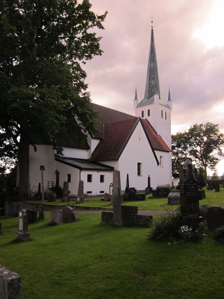
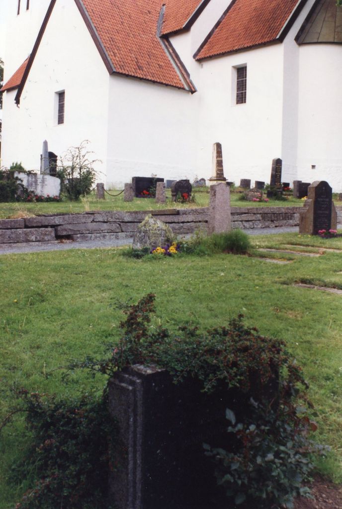
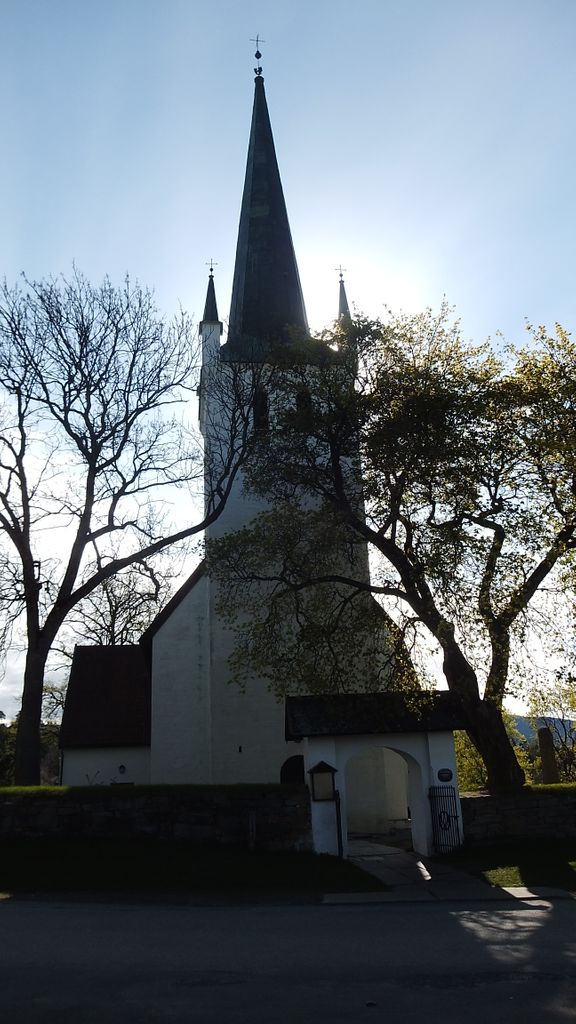
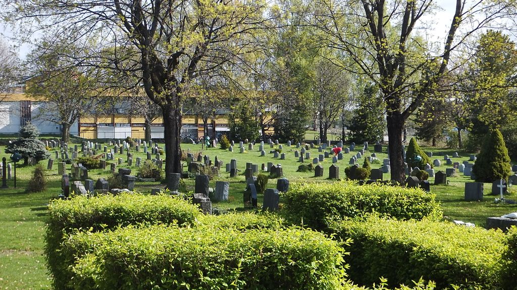
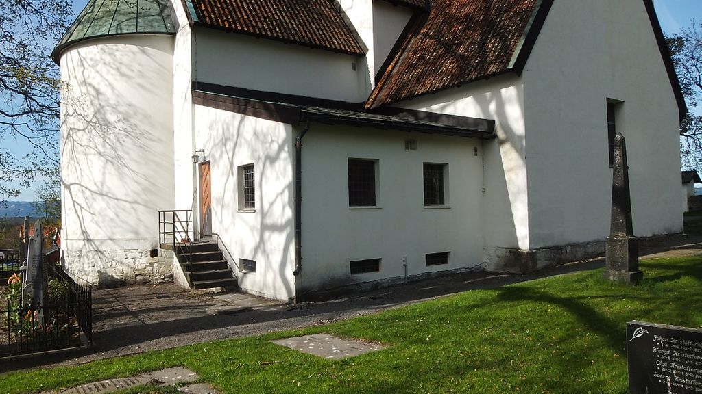
| Description | : | This beautiful church can be seen right off the road and the cemetery is open to the public. The church is closed normally to the public expect for services. The cemetery is very large, but in a way very disappointing for researchers looking for older ancestors. The area has been recycled and now at least 90% of the area is of grave stones from 1990 and newer. There are some old graves from the 1700's but they were prominant people such as priest, political figures or wealthy farmers of the area. Many poor people may have... Read More |
frequently asked questions (FAQ):
-
Where is Norderhov Church Cemetery?
Norderhov Church Cemetery is located at Honefoss, Ringerike kommune ,Buskerud fylke ,Norway.
-
Norderhov Church Cemetery cemetery's updated grave count on graveviews.com?
2 memorials
-
Where are the coordinates of the Norderhov Church Cemetery?
Latitude: 60.1313480
Longitude: 10.2694300
Nearby Cemetories:
1. Hole Church Cemetery
Hole kommune, Norway
Coordinate: 60.0975800, 10.2165600
2. Haug Cemetery
Honefoss, Ringerike kommune, Norway
Coordinate: 60.1740280, 10.3206160
3. Tyristrand Cemetery
Tyristrand, Ringerike kommune, Norway
Coordinate: 60.0860800, 10.0974900
4. Hval kirke
Hallingby, Ringerike kommune, Norway
Coordinate: 60.2680710, 10.1758810
5. Jevnaker Church Cemetery
Jevnaker, Jevnaker kommune, Norway
Coordinate: 60.2578080, 10.4337550
6. Sørkedalen kirkegård
Oslo, Oslo kommune, Norway
Coordinate: 60.0156200, 10.6165900
7. Snarum
Snarum, Modum kommune, Norway
Coordinate: 60.0258190, 9.8682140
8. Lunner Cemetery
Lunner, Lunner kommune, Norway
Coordinate: 60.3072200, 10.5587200
9. Sylling Churchyard
Sylling, Lier kommune, Norway
Coordinate: 59.8987580, 10.2806720
10. Heggen Kirkegaard
Modum kommune, Norway
Coordinate: 59.9408250, 10.0006690
11. Bryn Kirke
Baerums Verk, Bærum kommune, Norway
Coordinate: 59.9214260, 10.4872140
12. Steinsskogen Cemetery
Baerums Verk, Bærum kommune, Norway
Coordinate: 59.9318020, 10.5530360
13. Haslum Cemetery
Haslum, Bærum kommune, Norway
Coordinate: 59.9247660, 10.5671860
14. Oppdalen Church Cemetery
Lunner, Lunner kommune, Norway
Coordinate: 60.3041027, 10.6491884
15. Voksen Cemetery
Oslo, Oslo kommune, Norway
Coordinate: 59.9566690, 10.6503380
16. Tanum Churchyard
Bærum kommune, Norway
Coordinate: 59.8950330, 10.4790930
17. Granavoll Cemetery
Gran, Gran kommune, Norway
Coordinate: 60.3664590, 10.5294870
18. Henie Onstad Kunstsenter Grounds
Sandvika, Bærum kommune, Norway
Coordinate: 59.8886700, 10.5529220
19. Ullern kirkegård
Oslo, Oslo kommune, Norway
Coordinate: 59.9252790, 10.6542960
20. Sjåstad
Lier kommune, Norway
Coordinate: 59.8499235, 10.2138581
21. Ris urnelund
Oslo, Oslo kommune, Norway
Coordinate: 59.9478110, 10.7012330
22. Tingelstad
Gran, Gran kommune, Norway
Coordinate: 60.3942850, 10.4854130
23. Polhøgda Cemetery
Lysaker, Bærum kommune, Norway
Coordinate: 59.9052560, 10.6348830
24. Vestre Gravlund
Oslo, Oslo kommune, Norway
Coordinate: 59.9306100, 10.6998500