| Memorials | : | 0 |
| Location | : | Cliff, Grant County, USA |
| Coordinate | : | 32.9430556, -108.6008333 |
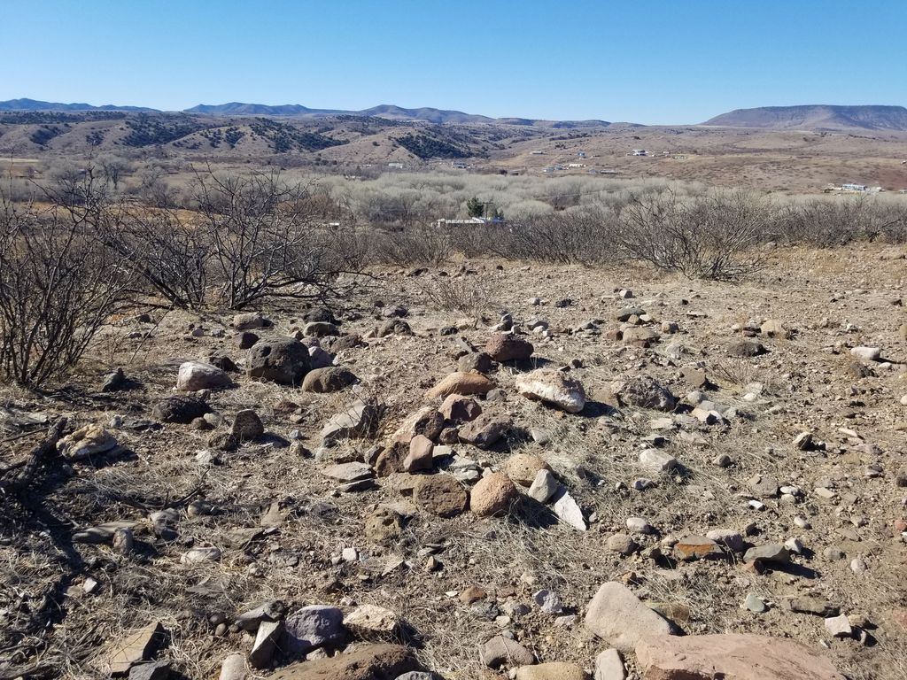
| Description | : | Fort West (1863-1864) was a U.S. Civil War Fort first established 24 Feb 1863 by 1st California Volunteer Cavalry, Captain William McCleave near Cliff, Grant County, New Mexico. The fort was named Fort West after Brigadier General Joseph R. West. The Fort was established to protect locals from hostile Apaches during the Apache Wars. The Fort was abandoned 8 Jan 1864. |
frequently asked questions (FAQ):
-
Where is Fort West Burial Ground?
Fort West Burial Ground is located at Cliff, Grant County ,New Mexico ,USA.
-
Fort West Burial Ground cemetery's updated grave count on graveviews.com?
0 memorials
-
Where are the coordinates of the Fort West Burial Ground?
Latitude: 32.9430556
Longitude: -108.6008333
Nearby Cemetories:
1. Mesa Cemetery
Gila, Grant County, USA
Coordinate: 32.9489500, -108.5872100
2. Cliff Gila Catholic Cemetery
Gila, Grant County, USA
Coordinate: 32.9493910, -108.5831140
3. Stout Cemetery
Cliff, Grant County, USA
Coordinate: 32.9682999, -108.6258011
4. Dinwiddie Cemetery
Cliff, Grant County, USA
Coordinate: 32.9849740, -108.6500240
5. Clark Cemetery
Grant County, USA
Coordinate: 32.8828011, -108.5975037
6. Maldonado Cemetery
Grant County, USA
Coordinate: 33.0050011, -108.5453033
7. Billings Cemetery
Gila, Grant County, USA
Coordinate: 32.8129900, -108.5989700
8. Jackson Ranch Cemetery
Buckhorn, Grant County, USA
Coordinate: 33.1070000, -108.7886000
9. Redrock Cemetery
Redrock, Grant County, USA
Coordinate: 32.7083015, -108.7024994
10. Peace of the Wilderness Cemetery
Silver City, Grant County, USA
Coordinate: 32.8682050, -108.2875500
11. Masonic Cemetery
Silver City, Grant County, USA
Coordinate: 32.7572972, -108.2812361
12. Saint Vincent de Paul Catholic Cemetery
Silver City, Grant County, USA
Coordinate: 32.7572861, -108.2812361
13. Memory Lane Cemetery
Silver City, Grant County, USA
Coordinate: 32.7830000, -108.2570000
14. Pinos Altos Community Cemetery
Pinos Altos, Grant County, USA
Coordinate: 32.8672791, -108.2173004
15. Mule Creek Cemetery
Mule Creek, Grant County, USA
Coordinate: 33.1208530, -108.9548000
16. Savannah Cemetery
Tyrone, Grant County, USA
Coordinate: 32.6443000, -108.3568000
17. Hill Family Cemetery
Grant County, USA
Coordinate: 32.8115300, -109.0078900
18. Fort Bayard National Cemetery
Fort Bayard, Grant County, USA
Coordinate: 32.7989006, -108.1541977
19. Fort Bayard Memorial Cemetery
Fort Bayard, Grant County, USA
Coordinate: 32.7907000, -108.1565000
20. Pleasanton Cemetery
Pleasanton, Catron County, USA
Coordinate: 33.2761620, -108.8737890
21. Pine Cienega Cemetery
Grant County, USA
Coordinate: 32.6226050, -108.3039090
22. Virden Catholic Cemetery
Virden, Hidalgo County, USA
Coordinate: 32.6838913, -108.9832993
23. Santa Clara Cemetery
Central, Grant County, USA
Coordinate: 32.7701920, -108.1530590
24. Virden Cemetery
Virden, Hidalgo County, USA
Coordinate: 32.6923100, -109.0047800


