
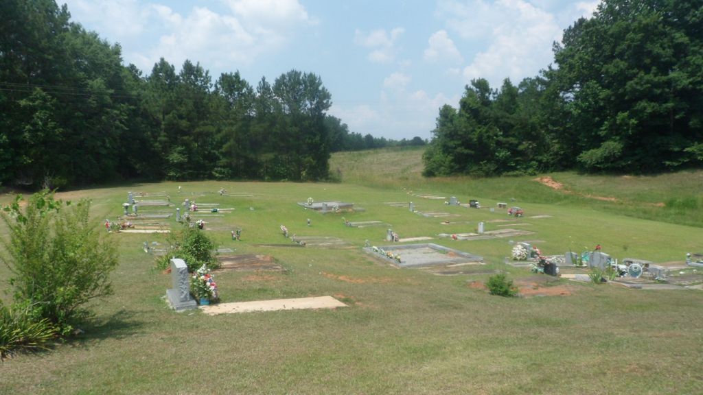
| Memorials | : | 0 |
| Location | : | Roanoke, Randolph County, USA |
| Coordinate | : | 33.2237960, -85.3318520 |
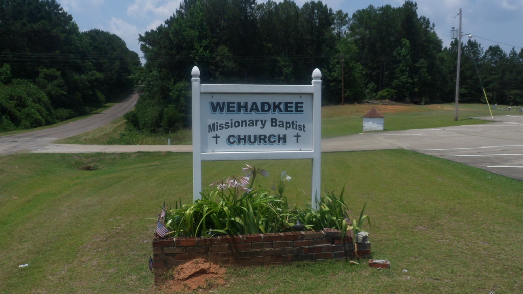
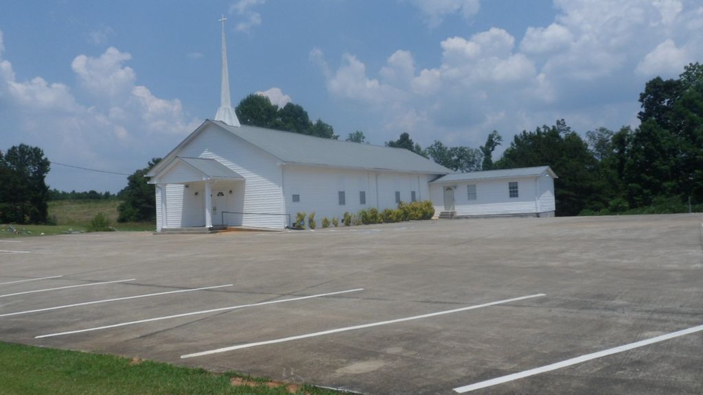
| Description | : | Wehadkee Missionary Baptist Church, 1216 County Road 310, Roanoke, Alabama 36274 |
frequently asked questions (FAQ):
-
Where is Wehadkee Missionary Baptist Church Cemetery?
Wehadkee Missionary Baptist Church Cemetery is located at Roanoke, Randolph County ,Alabama ,USA.
-
Wehadkee Missionary Baptist Church Cemetery cemetery's updated grave count on graveviews.com?
0 memorials
-
Where are the coordinates of the Wehadkee Missionary Baptist Church Cemetery?
Latitude: 33.2237960
Longitude: -85.3318520
Nearby Cemetories:
1. Springfield Methodist Church Cemetery
Randolph County, USA
Coordinate: 33.2120830, -85.3185290
2. Springfield Baptist Church Cemetery
Springfield, Randolph County, USA
Coordinate: 33.2129900, -85.3164140
3. Pittman Family Cemetery
Randolph County, USA
Coordinate: 33.2203000, -85.3095300
4. Pike Family Cemetery
Randolph County, USA
Coordinate: 33.1960270, -85.3199710
5. Forest Home Christian Church Cemetery
Springfield, Randolph County, USA
Coordinate: 33.1927400, -85.3155500
6. Lebanon Christian Church Cemetery
Springfield, Randolph County, USA
Coordinate: 33.1897400, -85.3500700
7. Old Lee Family Cemetery
Rock Mills, Randolph County, USA
Coordinate: 33.2188200, -85.2846000
8. Lee Family Cemetery
Rock Mills, Randolph County, USA
Coordinate: 33.2107200, -85.2834300
9. Zion's Rest Primitive Baptist Church Cemetery
Roanoke, Randolph County, USA
Coordinate: 33.2024250, -85.3797090
10. Macedonia Cemetery
Roanoke, Randolph County, USA
Coordinate: 33.1802040, -85.3505050
11. Center Chapel Baptist Church Cemetery
Randolph County, USA
Coordinate: 33.1735460, -85.3333320
12. Potash Church Of God Cemetery
Potash, Randolph County, USA
Coordinate: 33.2776900, -85.3489900
13. Highway Ridge Memorial Gardens
Randolph County, USA
Coordinate: 33.2778015, -85.3486023
14. Highway First Congregational Cemetery
Roanoke, Randolph County, USA
Coordinate: 33.2768000, -85.3539700
15. Rock Stand Congregational Christian Church Cemeter
Roanoke, Randolph County, USA
Coordinate: 33.2242350, -85.4084310
16. Big Springs Cemetery
Roanoke, Randolph County, USA
Coordinate: 33.2873400, -85.3133160
17. Paran Missionary Baptist Church Cemetery
Randolph County, USA
Coordinate: 33.2083520, -85.2531380
18. Union Hill Baptist Church Cemetery
Roanoke, Randolph County, USA
Coordinate: 33.1893010, -85.4031770
19. Wehadkee Primitive Baptist Church Cemetery
Rock Mills, Randolph County, USA
Coordinate: 33.1694120, -85.2806240
20. Rock Mills Missionary Baptist Church Cemetery
Randolph County, USA
Coordinate: 33.1570530, -85.3077420
21. Rock Mills Cemetery
Rock Mills, Randolph County, USA
Coordinate: 33.1644300, -85.2848000
22. Beulah Baptist Church Cemetery
Roanoke, Randolph County, USA
Coordinate: 33.2667007, -85.2630997
23. Randolph Memory Gardens
Rock Mills, Randolph County, USA
Coordinate: 33.1535988, -85.3107986
24. Cedarwood Cemetery
Roanoke, Randolph County, USA
Coordinate: 33.1519012, -85.3681030