
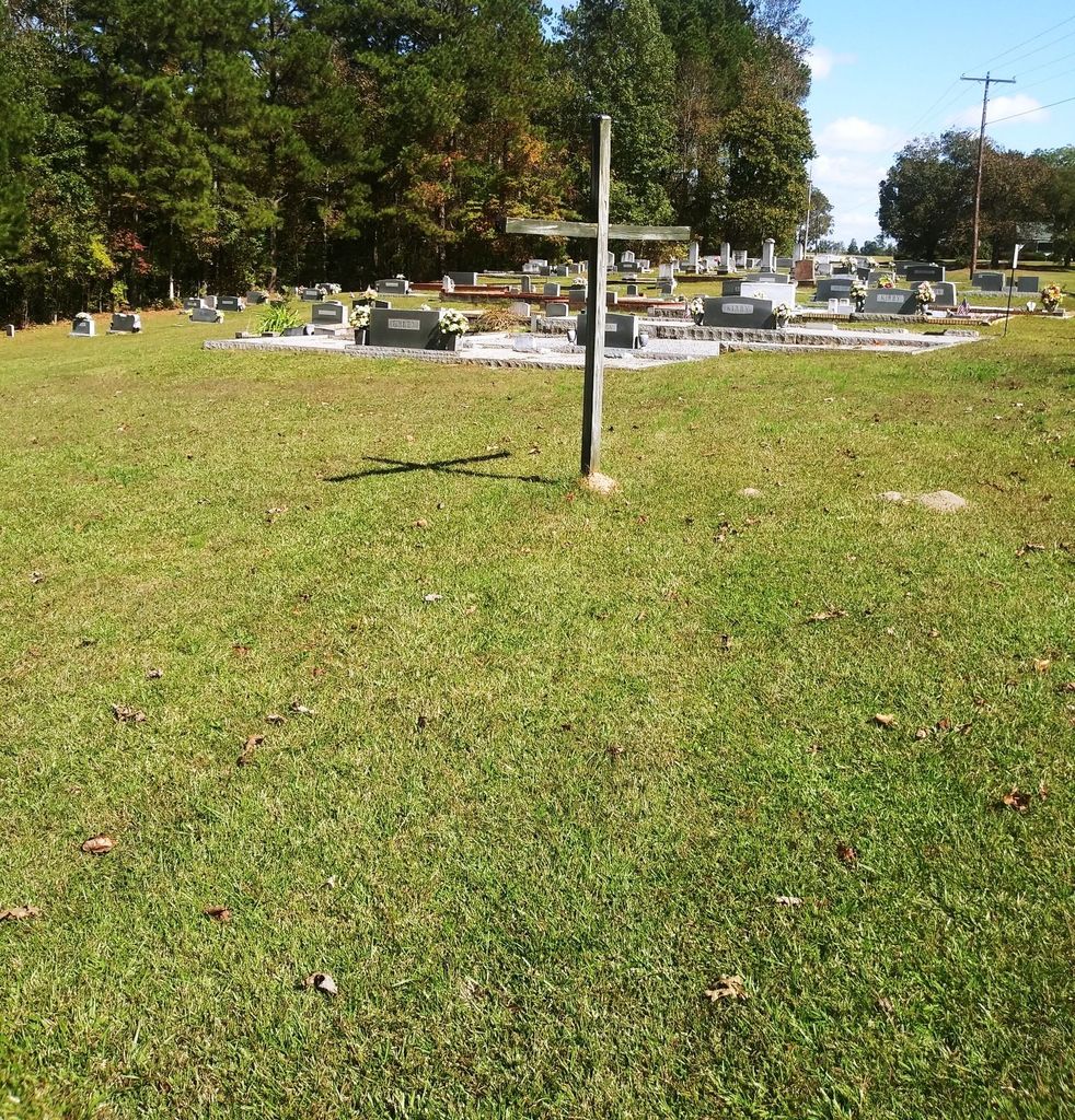
| Memorials | : | 0 |
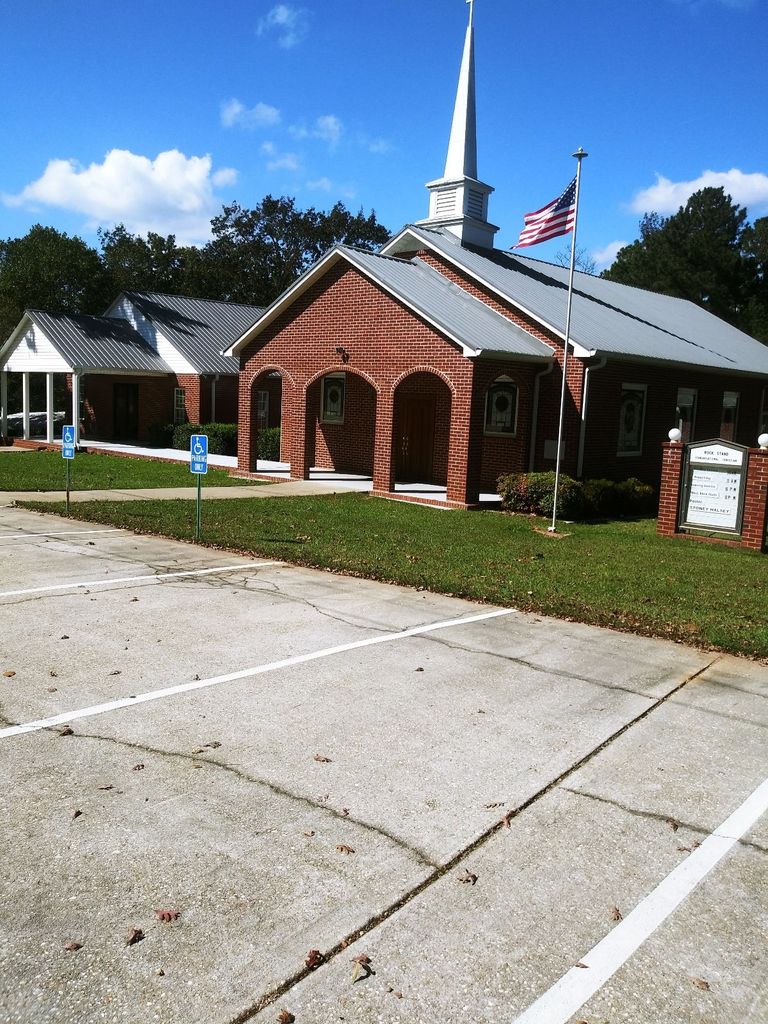
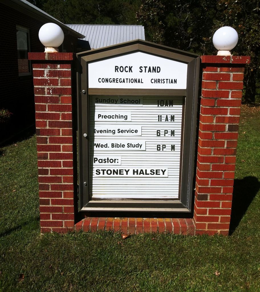
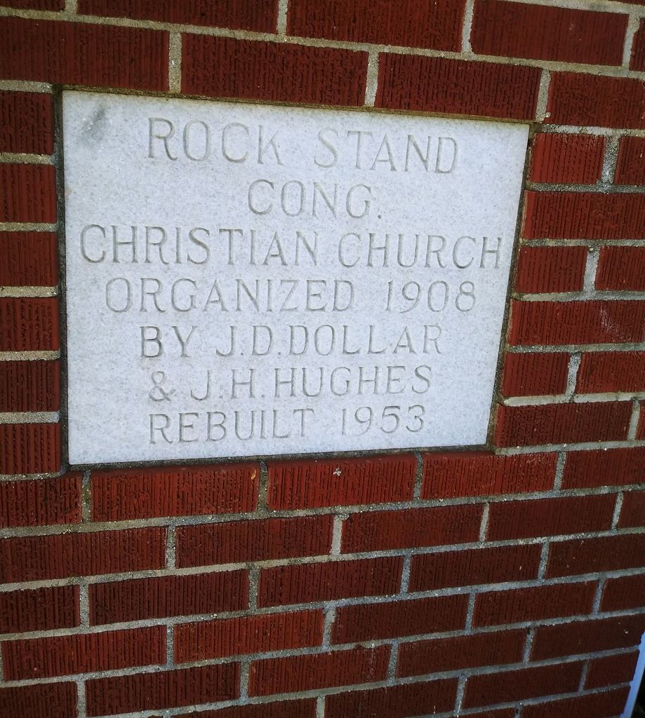
| Location | : | Roanoke, Randolph County, USA |
| Coordinate | : | 33.2242350, -85.4084310 |
frequently asked questions (FAQ):
-
Where is Rock Stand Congregational Christian Church Cemeter?
Rock Stand Congregational Christian Church Cemeter is located at Roanoke, Randolph County ,Alabama ,USA.
-
Rock Stand Congregational Christian Church Cemeter cemetery's updated grave count on graveviews.com?
0 memorials
-
Where are the coordinates of the Rock Stand Congregational Christian Church Cemeter?
Latitude: 33.2242350
Longitude: -85.4084310
Nearby Cemetories:
1. Zion's Rest Primitive Baptist Church Cemetery
Roanoke, Randolph County, USA
Coordinate: 33.2024250, -85.3797090
2. Union Hill Baptist Church Cemetery
Roanoke, Randolph County, USA
Coordinate: 33.1893010, -85.4031770
3. Friendship Christian Cemetery
Roanoke, Randolph County, USA
Coordinate: 33.2585810, -85.4187610
4. Rock Springs Cemetery
Roanoke, Randolph County, USA
Coordinate: 33.2221800, -85.4563210
5. Rocky Mount United Methodist Church Cemetery
Roanoke, Randolph County, USA
Coordinate: 33.1880480, -85.4416230
6. Pleasant Grove Baptist Church Cemetery
Broughton, Randolph County, USA
Coordinate: 33.1826700, -85.4420100
7. Lebanon Christian Church Cemetery
Springfield, Randolph County, USA
Coordinate: 33.1897400, -85.3500700
8. Wehadkee Missionary Baptist Church Cemetery
Roanoke, Randolph County, USA
Coordinate: 33.2237960, -85.3318520
9. Macedonia Cemetery
Roanoke, Randolph County, USA
Coordinate: 33.1802040, -85.3505050
10. Mount Pisgah Baptist Church Cemetery
Roanoke, Randolph County, USA
Coordinate: 33.1592510, -85.3901760
11. Highway First Congregational Cemetery
Roanoke, Randolph County, USA
Coordinate: 33.2768000, -85.3539700
12. Kidd Family Cemetery
Randolph County, USA
Coordinate: 33.2061610, -85.4902840
13. Greens Chapel Methodist Church Cemetery
Randolph County, USA
Coordinate: 33.2949510, -85.4256740
14. Potash Church Of God Cemetery
Potash, Randolph County, USA
Coordinate: 33.2776900, -85.3489900
15. Highway Ridge Memorial Gardens
Randolph County, USA
Coordinate: 33.2778015, -85.3486023
16. Springfield Methodist Church Cemetery
Randolph County, USA
Coordinate: 33.2120830, -85.3185290
17. Springfield Baptist Church Cemetery
Springfield, Randolph County, USA
Coordinate: 33.2129900, -85.3164140
18. Pike Family Cemetery
Randolph County, USA
Coordinate: 33.1960270, -85.3199710
19. Roanoke Baptist Church Cemetery
Roanoke, Randolph County, USA
Coordinate: 33.1506600, -85.3730260
20. Cedarwood Cemetery
Roanoke, Randolph County, USA
Coordinate: 33.1519012, -85.3681030
21. Center Chapel Baptist Church Cemetery
Randolph County, USA
Coordinate: 33.1735460, -85.3333320
22. Mount Pisgah Methodist Church Cemetery
Randolph County, USA
Coordinate: 33.2616997, -85.4942017
23. Haywood Cemetery
Haywood, Randolph County, USA
Coordinate: 33.3039700, -85.3899100
24. Pittman Family Cemetery
Randolph County, USA
Coordinate: 33.2203000, -85.3095300