
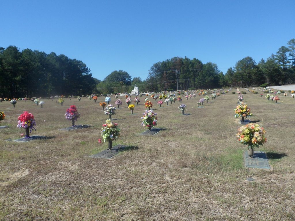
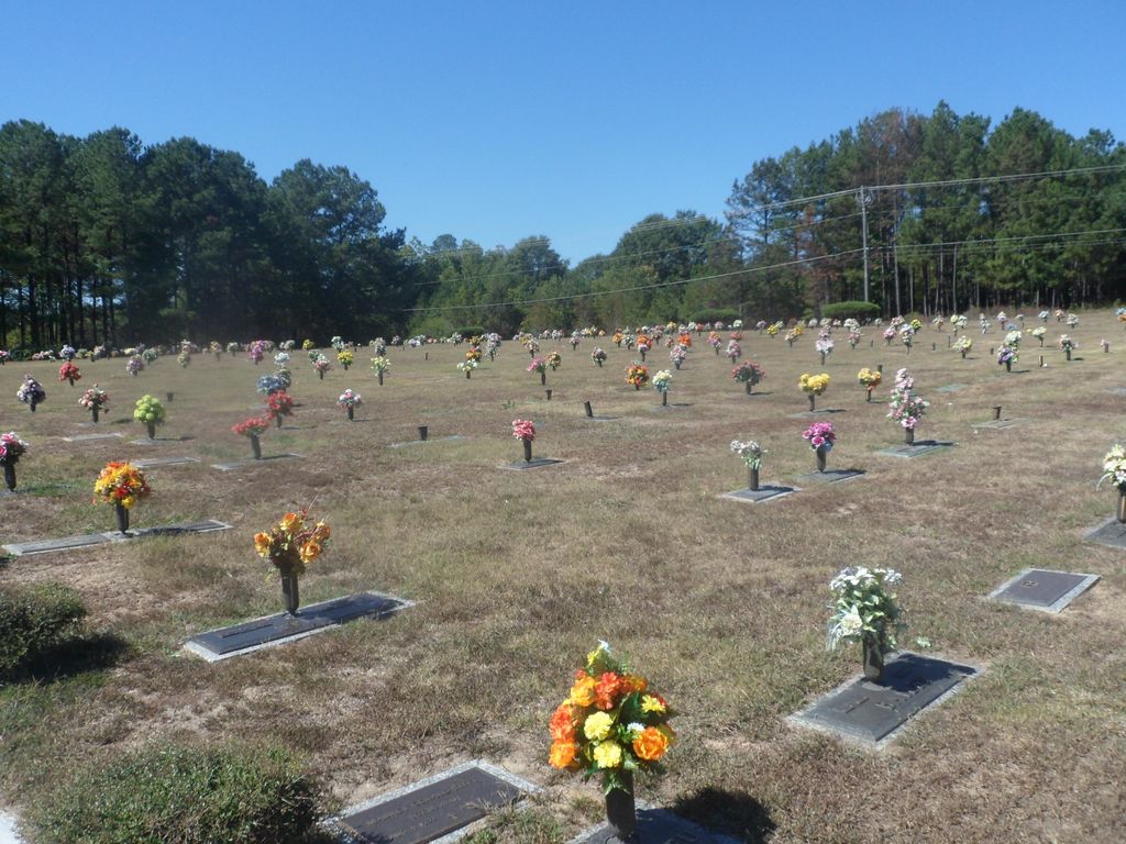
| Memorials | : | 6 |
| Location | : | Rock Mills, Randolph County, USA |
| Coordinate | : | 33.1535988, -85.3107986 |
| Description | : | Located on Rock Mill Road 1.4 miles west of Rock Mill and 3.5 east of Roanoke. Near the junction of CR 16. |
frequently asked questions (FAQ):
-
Where is Randolph Memory Gardens?
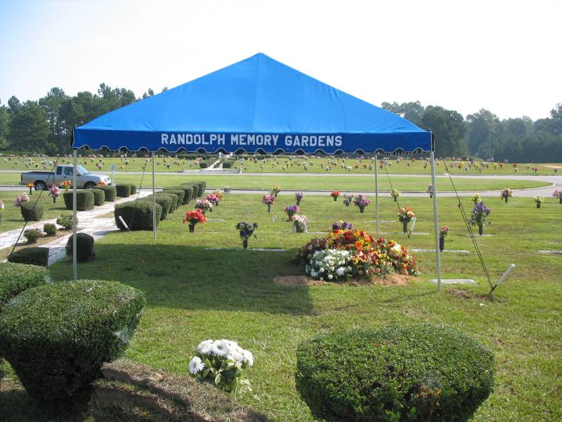
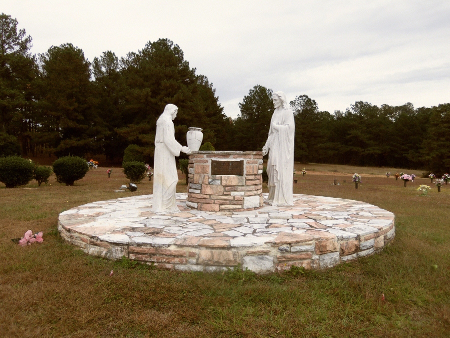
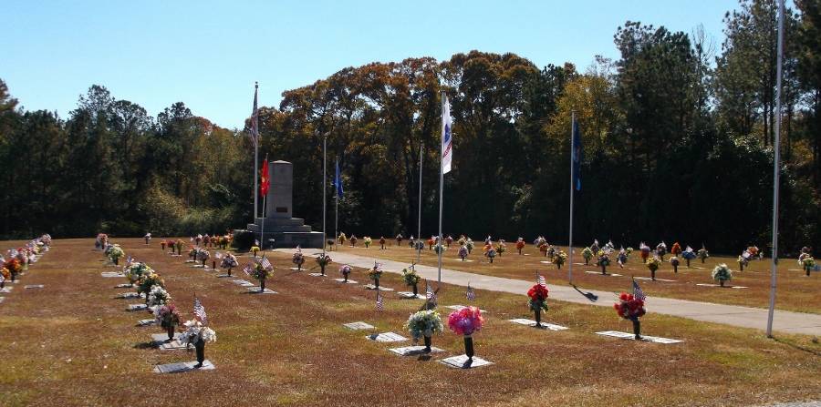
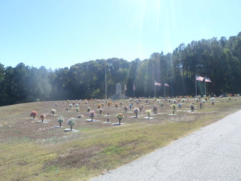
Randolph Memory Gardens is located at Rock Mills, Randolph County ,Alabama ,USA.
-
Randolph Memory Gardens cemetery's updated grave count on graveviews.com?
3 memorials
-
Where are the coordinates of the Randolph Memory Gardens?
Latitude: 33.1535988
Longitude: -85.3107986
Nearby Cemetories:
1. Rock Mills Missionary Baptist Church Cemetery
Randolph County, USA
Coordinate: 33.1570530, -85.3077420
2. Old Salem Primitive Baptist Cemetery
Bacon Level, Randolph County, USA
Coordinate: 33.1375200, -85.3103400
3. Rock Mills Cemetery
Rock Mills, Randolph County, USA
Coordinate: 33.1644300, -85.2848000
4. Center Chapel Baptist Church Cemetery
Randolph County, USA
Coordinate: 33.1735460, -85.3333320
5. Wehadkee Primitive Baptist Church Cemetery
Rock Mills, Randolph County, USA
Coordinate: 33.1694120, -85.2806240
6. Fellowship Baptist Church Cemetery
Bacon Level, Randolph County, USA
Coordinate: 33.1270650, -85.2868900
7. Forest Home Christian Church Cemetery
Springfield, Randolph County, USA
Coordinate: 33.1927400, -85.3155500
8. Booger Hill Cemetery
Roanoke, Randolph County, USA
Coordinate: 33.1481018, -85.3610992
9. Macedonia Cemetery
Roanoke, Randolph County, USA
Coordinate: 33.1802040, -85.3505050
10. Bethany Lime Cemetery
Randolph County, USA
Coordinate: 33.1579680, -85.2596960
11. Pike Family Cemetery
Randolph County, USA
Coordinate: 33.1960270, -85.3199710
12. East Roanoke Cemetery
Roanoke, Randolph County, USA
Coordinate: 33.1432991, -85.3644028
13. Cedarwood Cemetery
Roanoke, Randolph County, USA
Coordinate: 33.1519012, -85.3681030
14. Lebanon Christian Church Cemetery
Springfield, Randolph County, USA
Coordinate: 33.1897400, -85.3500700
15. Roanoke Baptist Church Cemetery
Roanoke, Randolph County, USA
Coordinate: 33.1506600, -85.3730260
16. Springfield Methodist Church Cemetery
Randolph County, USA
Coordinate: 33.2120830, -85.3185290
17. Springfield Baptist Church Cemetery
Springfield, Randolph County, USA
Coordinate: 33.2129900, -85.3164140
18. Lanes Chapel Methodist Church Cemetery
Roanoke, Randolph County, USA
Coordinate: 33.1129210, -85.3645760
19. Lee Family Cemetery
Rock Mills, Randolph County, USA
Coordinate: 33.2107200, -85.2834300
20. Mount Pisgah Baptist Church Cemetery
Roanoke, Randolph County, USA
Coordinate: 33.1592510, -85.3901760
21. Pittman Family Cemetery
Randolph County, USA
Coordinate: 33.2203000, -85.3095300
22. Pleasant Grove Cemetery
Heard County, USA
Coordinate: 33.1528015, -85.2294006
23. Pittman Cemetery
Heard County, USA
Coordinate: 33.1866989, -85.2394028
24. Littlefield Cemetery
Stroud, Chambers County, USA
Coordinate: 33.0853930, -85.3176780