| Memorials | : | 2 |
| Location | : | Wales |
| Coordinate | : | 52.2065510, -4.3272120 |
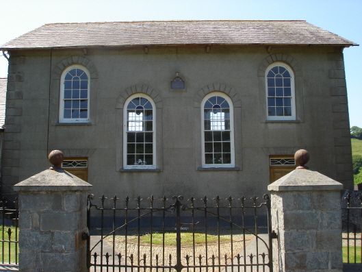
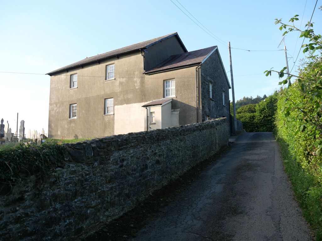
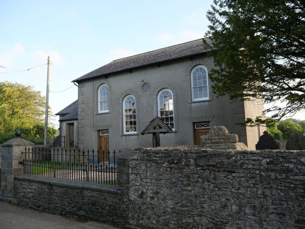
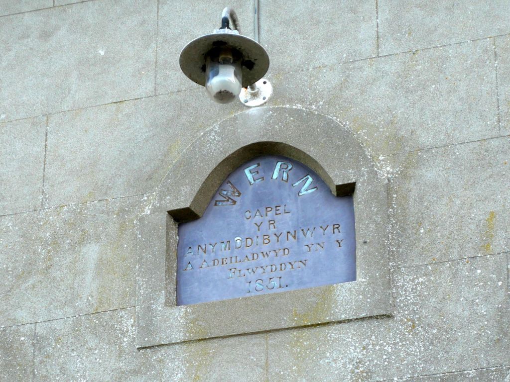
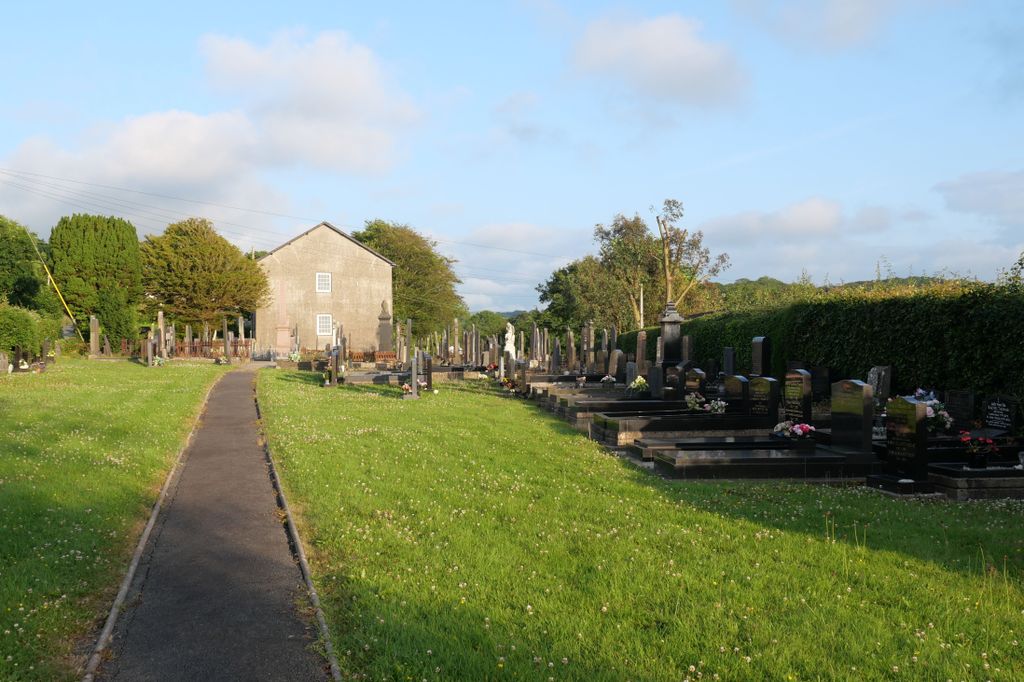
| Description | : | Wern Welsh Independent Chapel built in 1851. Cemetery extends northwest from the chapel, predominantly welsh language, some interesting porcelain flower tributes in glass domes. |
frequently asked questions (FAQ):
-
Where is Wern Chapel?
Wern Chapel is located at Gilfachreda Ceredigion , SA45 9SDWales.
-
Wern Chapel cemetery's updated grave count on graveviews.com?
2 memorials
-
Where are the coordinates of the Wern Chapel?
Latitude: 52.2065510
Longitude: -4.3272120
Nearby Cemetories:
1. St. Cynllo Cemetery
Wales
Coordinate: 52.0813422, -4.6277205
2. Pontarfynach Trisant Chapelyard
Wales
Coordinate: 52.3992800, -4.0038300
3. Aberffrwd Cemetery
Wales
Coordinate: 52.3916150, -3.9321050
4. Llandingat Parish Church
Wales
Coordinate: 51.9914392, -3.8022458
5. Maes y Bont
Wales
Coordinate: 51.8324324, -4.0821915
6. Eglwys Oen Duw Cemetery
Wales
Coordinate: 52.1566000, -3.5898000
7. Abertrinant
Wales
Coordinate: 52.6290830, -4.0111140
8. Rhyd-Y-Fro Saron Congregational Old Chapelyard
Wales
Coordinate: 51.7379400, -3.8662700
9. St David Church Burial Ground
Wales
Coordinate: 51.7703100, -3.7884600
10. Godre'r Graig Independent Chapel Cemetery
Wales
Coordinate: 51.7474400, -3.8089300
11. Saint David's Churchyard
Wales
Coordinate: 51.8017440, -3.6967650
12. Alltwen Welsh Congregational Chapelyard
Wales
Coordinate: 51.7139600, -3.8444700
13. Carmel Congregational Chapelyard
Wales
Coordinate: 52.2891200, -3.3881600
14. Three Crosses Churchyard, Capel y Crwys
Wales
Coordinate: 51.6278387, -4.0653017
15. Honeyborough Cemetery
Wales
Coordinate: 51.7181200, -4.9595000
16. Monkton Cemetery
Wales
Coordinate: 51.6732100, -4.9282500
17. St Mary Churchyard
Bettws-y-Crwyn, Shropshire Unitary Authority, England
Coordinate: 52.4244990, -3.1692770
18. Church of St. Mary
Cusop, Herefordshire Unitary Authority, England
Coordinate: 52.0670000, -3.1100000
19. Penrhys Cemetery
Wales
Coordinate: 51.6420500, -3.4425800
20. St Michael and All Angels Churchyard
Knill, Herefordshire Unitary Authority, England
Coordinate: 52.2377070, -3.0396000
21. St Mary Churchyard
Kington, Herefordshire Unitary Authority, England
Coordinate: 52.2044990, -3.0384990
22. Holy Trinity Churchyard
Ilfracombe, North Devon District, England
Coordinate: 51.5571712, -3.5946496
23. Kington Cemetery
Kington, Herefordshire Unitary Authority, England
Coordinate: 52.1936780, -3.0209970
24. St. Mary Magdalene Churchyard
Eardisley, Herefordshire Unitary Authority, England
Coordinate: 52.1366310, -3.0055730

