
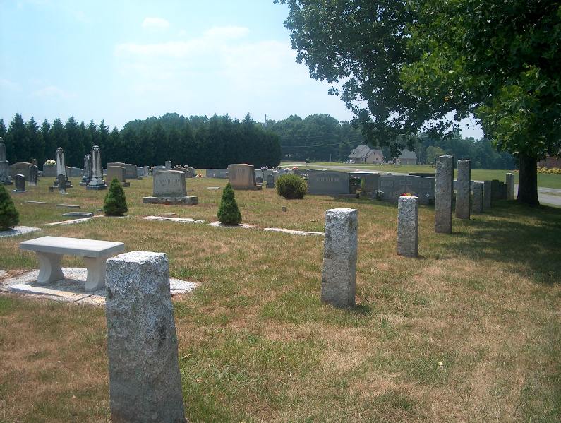
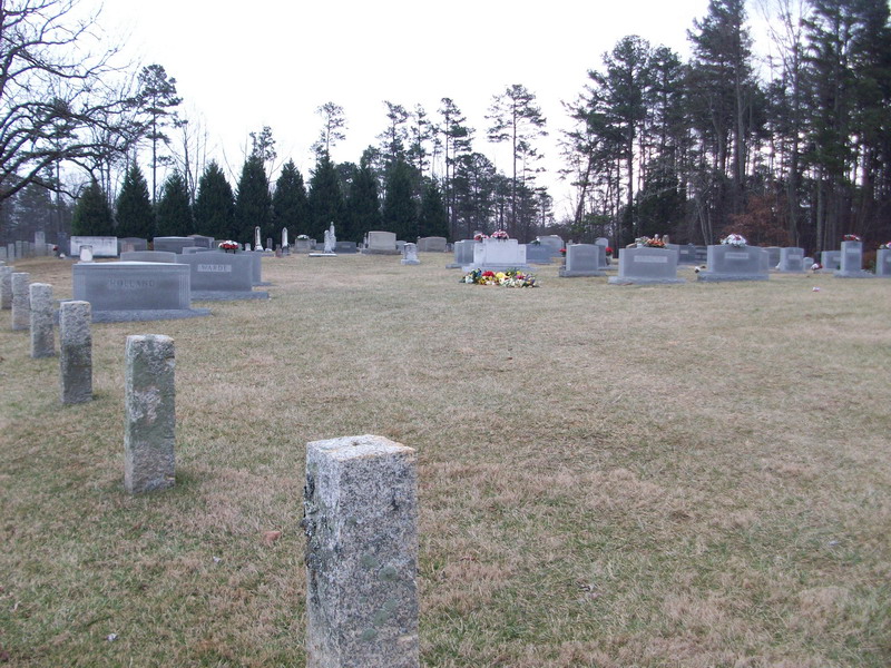
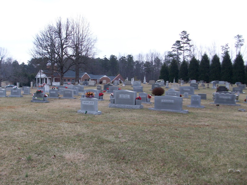
| Memorials | : | 283 |
| Location | : | Pilot Mountain, Surry County, USA |
| Coordinate | : | 36.3763008, -80.5105057 |
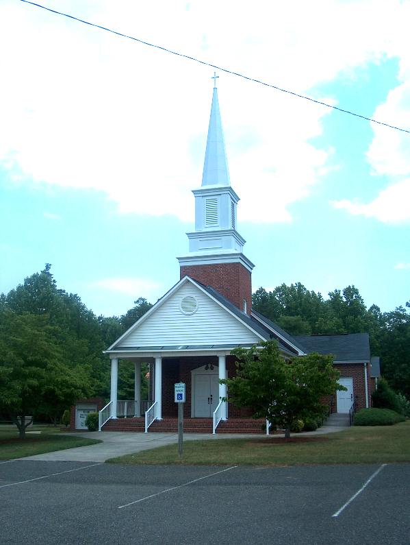
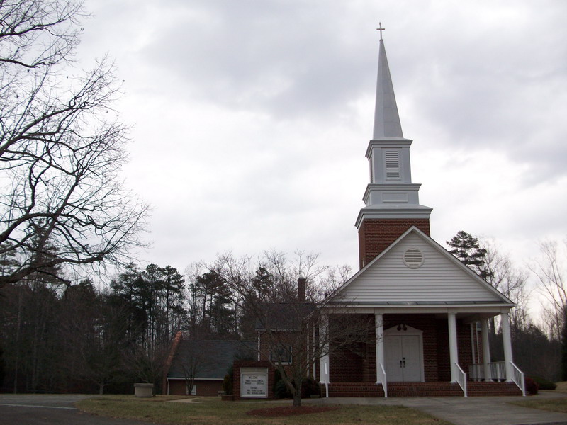
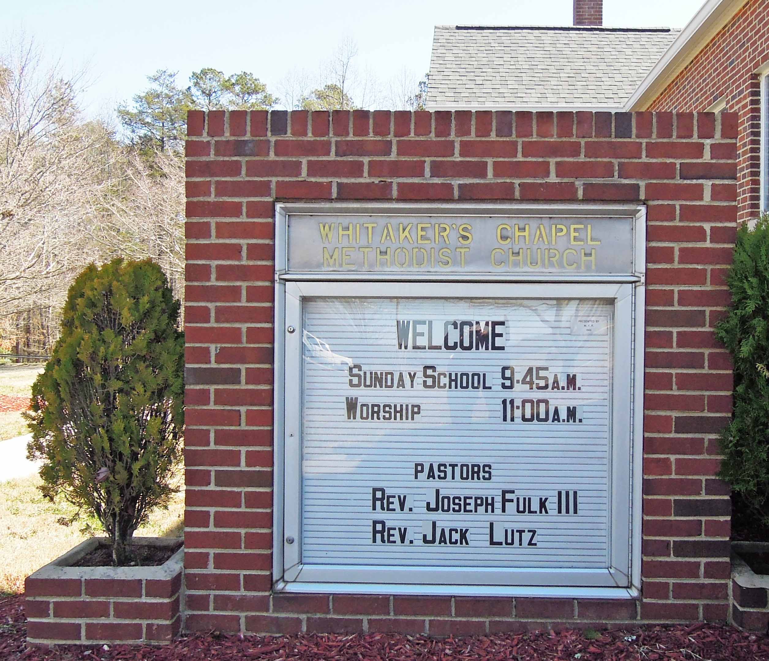
| Description | : | From the intersection of Whitaker Chapel Road and NC Highway 268, travel 0.15 miles on Whitaker Chapel Road; the church and cemetery will be on the right. |
frequently asked questions (FAQ):
-
Where is Whitakers Chapel United Methodist Church Cemetery?
Whitakers Chapel United Methodist Church Cemetery is located at 751 Whitaker Chapel Road Pilot Mountain, Surry County ,North Carolina , 27041USA.
-
Whitakers Chapel United Methodist Church Cemetery cemetery's updated grave count on graveviews.com?
283 memorials
-
Where are the coordinates of the Whitakers Chapel United Methodist Church Cemetery?
Latitude: 36.3763008
Longitude: -80.5105057
Nearby Cemetories:
1. John Denny Cemetery
Pilot Mountain, Surry County, USA
Coordinate: 36.3755989, -80.4910965
2. Ararat-Cedar Hill Primitive Baptist Church
Cedar Hill, Surry County, USA
Coordinate: 36.3671265, -80.5306778
3. Carey Bird Denny Cemetery
Pilot Mountain, Surry County, USA
Coordinate: 36.3582000, -80.5177500
4. Cox Cemetery
Pilot Mountain, Surry County, USA
Coordinate: 36.3743890, -80.5353890
5. Azariah Denny Family Cemetery
Pilot Mountain, Surry County, USA
Coordinate: 36.3647220, -80.5367780
6. John Wesley Hill Cemetery
Pilot Mountain, Surry County, USA
Coordinate: 36.4000282, -80.5012817
7. Bennett Cemetery
Pilot Mountain, Surry County, USA
Coordinate: 36.3988991, -80.4957962
8. Tucker-Stone Cemetery
Surry County, USA
Coordinate: 36.3990000, -80.4954167
9. Friendly Chapel Church Cemetery
Pilot Mountain, Surry County, USA
Coordinate: 36.3635292, -80.4816132
10. Pilot Mountain City Cemetery
Pilot Mountain, Surry County, USA
Coordinate: 36.3918343, -80.4809418
11. Green Family Cemetery
Pilot Mountain, Surry County, USA
Coordinate: 36.3956630, -80.4833990
12. Beulahland Baptist Church Cemetery
Pilot Mountain, Surry County, USA
Coordinate: 36.4037330, -80.4954900
13. Pinnacle View Baptist Church Cemetery
Shoals, Surry County, USA
Coordinate: 36.3454700, -80.5089900
14. Sulphur Springs Baptist Church Cemetery
Pilot Mountain, Surry County, USA
Coordinate: 36.4074440, -80.5108871
15. Stone Family Cemetery
Pilot Mountain, Surry County, USA
Coordinate: 36.3695070, -80.4689960
16. William C. Patterson Cemetery
Siloam, Surry County, USA
Coordinate: 36.3591330, -80.5502130
17. Hyatt Family Cemetery
Siloam, Surry County, USA
Coordinate: 36.3644700, -80.5544300
18. Lovells Chapel Church Cemetery
Pilot Mountain, Surry County, USA
Coordinate: 36.3879160, -80.4652290
19. New Hope Cemetery
Ararat, Surry County, USA
Coordinate: 36.4043890, -80.5428610
20. Hills Grove Baptist Church Cemetery
Cedar Hill, Surry County, USA
Coordinate: 36.3580180, -80.5536350
21. Rescue Baptist Church Cemetery
Pilot Mountain, Surry County, USA
Coordinate: 36.3898080, -80.4613240
22. Worth Cemetery
Ararat, Surry County, USA
Coordinate: 36.4180130, -80.5205710
23. Lawrence Cemetery
Pilot Mountain, Surry County, USA
Coordinate: 36.3716080, -80.4537230
24. Gibbons Family Cemetery
Ararat, Surry County, USA
Coordinate: 36.3747570, -80.5682480