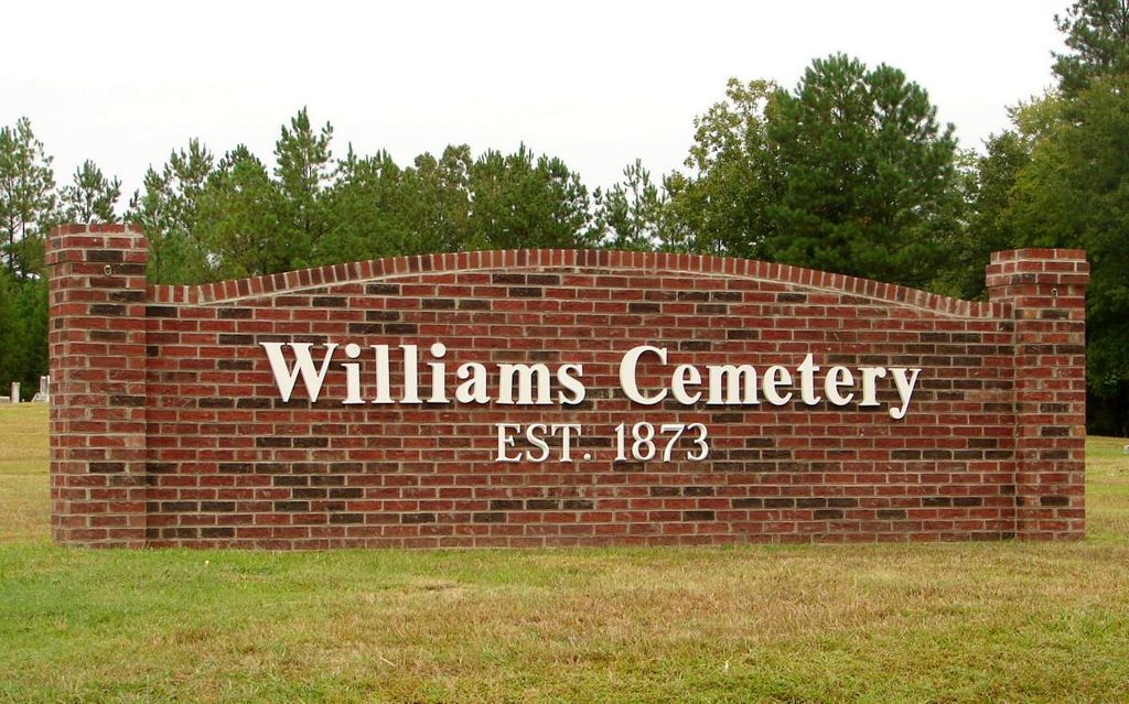
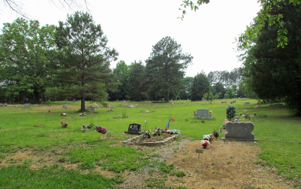
| Memorials | : | 12 |
| Location | : | Polkton, Anson County, USA |
| Coordinate | : | 35.0026910, -80.2119000 |
| Description | : | Directions: From Wadesboro, N.C. take Highway 74 West to Polkton, N.C. Turn right on Williams Street. This is also Highway 218. Turn the first road to the left which is Old U.S. 74. Cemetery will be on the right. -- The African American section of the cemetery is directly north across the railroad tracks and can easily be accessed by going North on State Road 1469 crossing over the tracks then taking a right onto Moore Street. Cemetery will be on the right side of the road. African Americans are buried in both sections with desegregation over the years, but newer burials... Read More |
frequently asked questions (FAQ):
-
Where is Williams Cemetery?
Williams Cemetery is located at Old U.S. 74 Polkton, Anson County ,North Carolina ,USA.
-
Williams Cemetery cemetery's updated grave count on graveviews.com?
12 memorials
-
Where are the coordinates of the Williams Cemetery?
Latitude: 35.0026910
Longitude: -80.2119000
Nearby Cemetories:
1. Griffin and Old Davis Cemetery
Polkton, Anson County, USA
Coordinate: 35.0123010, -80.2169750
2. W Edmund Horne Family Cemetery
Polkton, Anson County, USA
Coordinate: 34.9924040, -80.2159670
3. Branch-Old Polkton Cemetery
Polkton, Anson County, USA
Coordinate: 35.0052580, -80.1982100
4. May Cemetery
Polkton, Anson County, USA
Coordinate: 35.0236050, -80.1982000
5. Preslars Cemetery
Polkton, Anson County, USA
Coordinate: 35.0266100, -80.2131720
6. Covington Cemetery
Peachland, Anson County, USA
Coordinate: 34.9942320, -80.2457020
7. Beeman Cemetery
Peachland, Anson County, USA
Coordinate: 34.9981610, -80.2533140
8. Bennett Grove Cemetery
Polkton, Anson County, USA
Coordinate: 34.9847908, -80.1757202
9. Richmond-Sturdivant Cemetery
Polkton, Anson County, USA
Coordinate: 35.0036011, -80.1592026
10. Peachland Cemetery
Peachland, Anson County, USA
Coordinate: 34.9854730, -80.2620790
11. J. W. Beachum Family Cemetery
Anson County, USA
Coordinate: 35.0401360, -80.2498330
12. Gray Cemetery
Peachland, Anson County, USA
Coordinate: 34.9873410, -80.2685380
13. J.T. Beachum Family Cemetery
Anson County, USA
Coordinate: 35.0463200, -80.2448040
14. Edwards Memorial Marker
Peachland, Anson County, USA
Coordinate: 34.9819790, -80.2732210
15. Westview Memorial Park
Russellville, Anson County, USA
Coordinate: 34.9867440, -80.1476560
16. Lawrence & Tabitha Moore Family Cemetery
Anson County, USA
Coordinate: 34.9531410, -80.1789090
17. German Hill Cemetery
Peachland, Anson County, USA
Coordinate: 35.0043520, -80.2840360
18. Deep Springs Baptist Church Cemetery
Peachland, Anson County, USA
Coordinate: 35.0308160, -80.2759470
19. Mineral Springs Baptist Church Cemetery
Peachland, Anson County, USA
Coordinate: 34.9440660, -80.2407720
20. Brown Creek Baptist Church Cemetery
Wadesboro, Anson County, USA
Coordinate: 35.0240000, -80.1388000
21. Poplar Hill United Methodist Church Cemetery
Polkton, Anson County, USA
Coordinate: 34.9383230, -80.2031990
22. Phillips Cemetery
Peachland, Anson County, USA
Coordinate: 34.9668010, -80.2831610
23. Caudle-Phifer Cemetery
Peachland, Anson County, USA
Coordinate: 35.0319410, -80.2881170
24. Hopewell Methodist Church Cemetery
Peachland, Anson County, USA
Coordinate: 35.0700500, -80.2325320


