
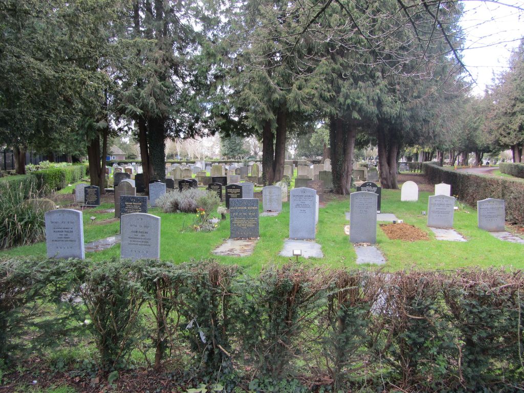
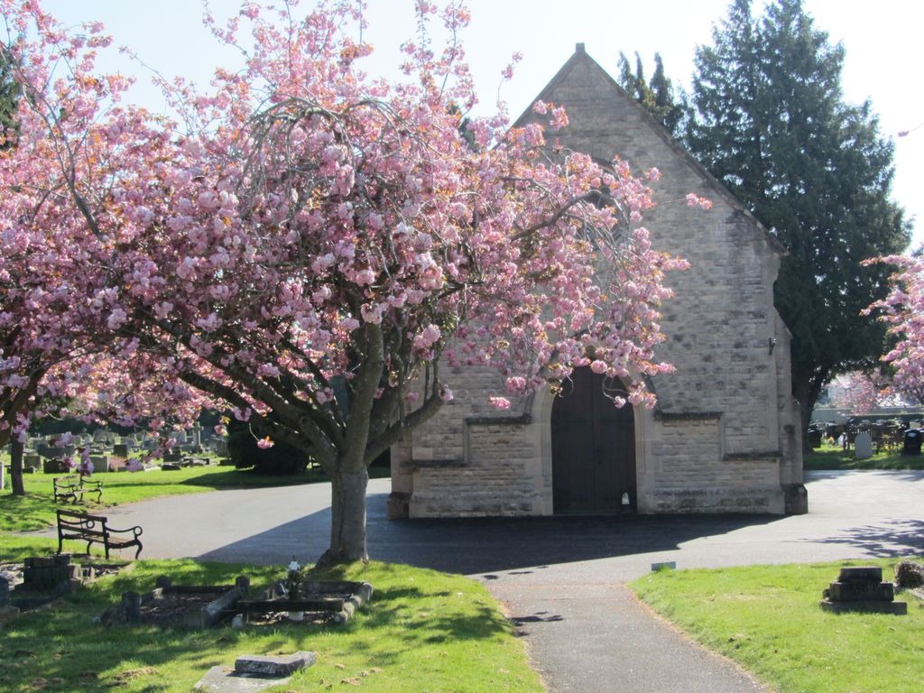
| Memorials | : | 199 |
| Location | : | Oxford, City of Oxford, England |
| Phone | : | 01865 252516 |
| Website | : | www.oxford.gov.uk/directory_record/623/wolvercote_cemetery |
| Coordinate | : | 51.7913666, -1.2721500 |
frequently asked questions (FAQ):
-
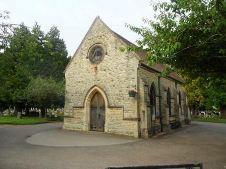
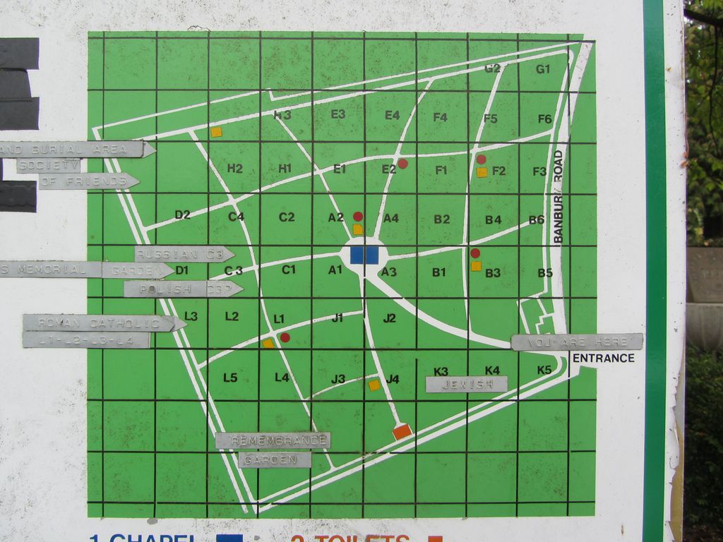
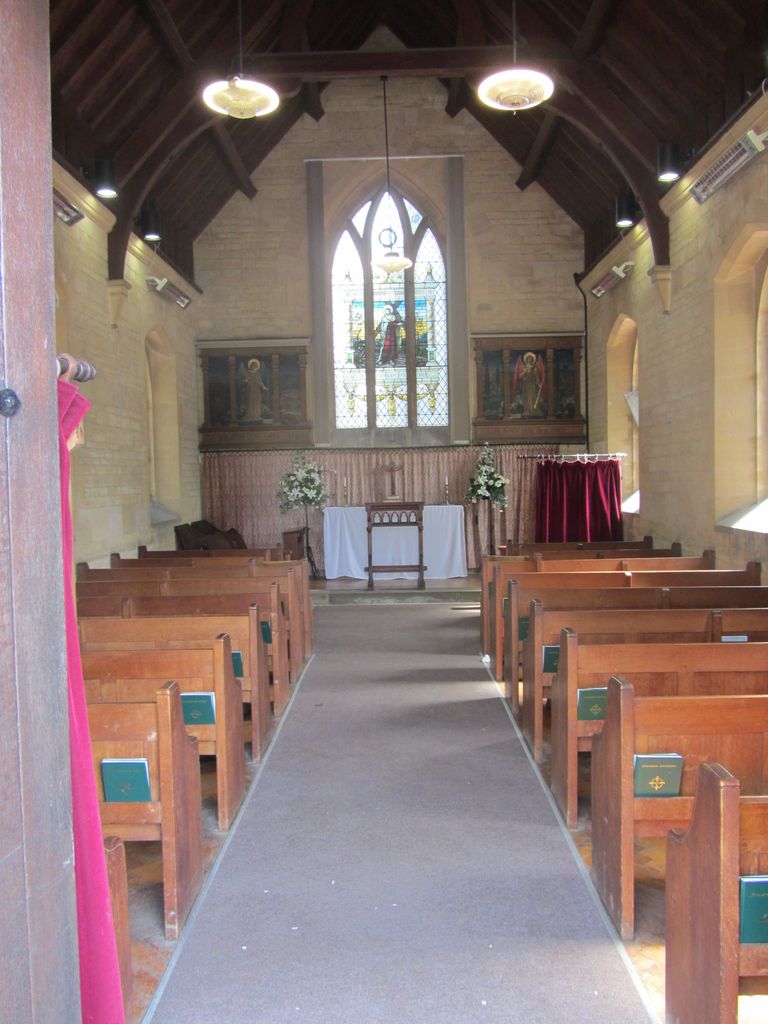
Where is Wolvercote Cemetery?
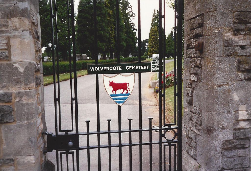
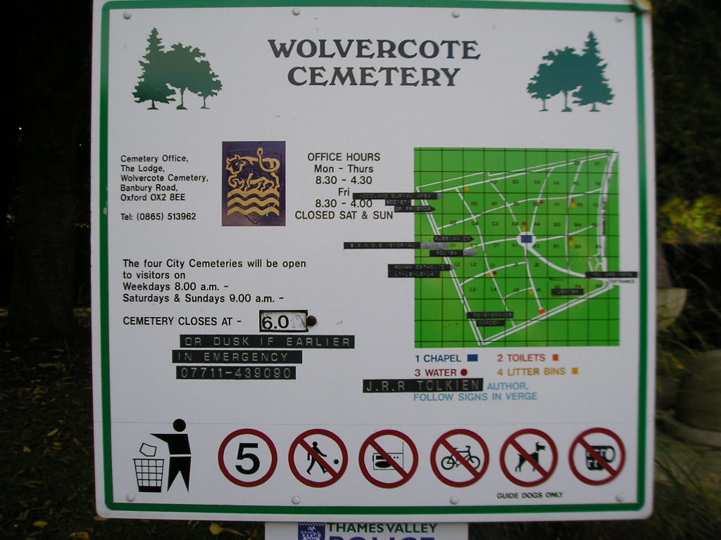
Wolvercote Cemetery is located at Banbury Road Oxford, City of Oxford ,Oxfordshire ,England.
-
Wolvercote Cemetery cemetery's updated grave count on graveviews.com?
179 memorials
-
Where are the coordinates of the Wolvercote Cemetery?
Latitude: 51.7913666
Longitude: -1.2721500
Nearby Cemetories:
1. St. Peter Churchyard
Wolvercote, City of Oxford, England
Coordinate: 51.7848300, -1.2811100
2. St Michael and All Angels Summertown
Oxford, City of Oxford, England
Coordinate: 51.7796280, -1.2643940
3. Godstow Abbey Ruins
Oxford, City of Oxford, England
Coordinate: 51.7784060, -1.2998170
4. St. Bartholomew's Churchyard
Yarnton, Cherwell District, England
Coordinate: 51.8016610, -1.3087620
5. Yarnton Cemetery
Yarnton, Cherwell District, England
Coordinate: 51.8004080, -1.3103260
6. St. Nicholas Churchyard
Old Marston, City of Oxford, England
Coordinate: 51.7761340, -1.2373130
7. Saint Margaret of Antioch
City of Oxford, England
Coordinate: 51.7690340, -1.2975900
8. Elsfield Road Cemetery
Old Marston, City of Oxford, England
Coordinate: 51.7752940, -1.2332640
9. St. Sepulchres Cemetery
Oxford, City of Oxford, England
Coordinate: 51.7611110, -1.2694440
10. Wytham Churchyard
Wytham, Vale of White Horse District, England
Coordinate: 51.7736230, -1.3131610
11. Woodeaton Holy Rood Churchyard
Woodeaton, South Oxfordshire District, England
Coordinate: 51.8031620, -1.2257910
12. St Paul's Oxford Cemetery
Oxford, City of Oxford, England
Coordinate: 51.7594590, -1.2648470
13. St Giles Churchyard
Oxford, City of Oxford, England
Coordinate: 51.7591660, -1.2605170
14. Saint Barnabas Church
Oxford, City of Oxford, England
Coordinate: 51.7579620, -1.2697600
15. St Thomas of Canterbury Churchyard
Elsfield, South Oxfordshire District, England
Coordinate: 51.7858680, -1.2178310
16. Mansfield College Chapel
Oxford, City of Oxford, England
Coordinate: 51.7576410, -1.2523340
17. Blackfriars
Oxford, City of Oxford, England
Coordinate: 51.7561210, -1.2602060
18. St Johns College
Oxford, City of Oxford, England
Coordinate: 51.7560820, -1.2589910
19. Wadham College Chapel
Oxford, City of Oxford, England
Coordinate: 51.7560700, -1.2540350
20. Rewley Abbey
Oxford, City of Oxford, England
Coordinate: 51.7543810, -1.2675170
21. Martyrs' Memorial
Oxford, City of Oxford, England
Coordinate: 51.7550900, -1.2590100
22. Kidlington Burial Ground
Kidlington, Cherwell District, England
Coordinate: 51.8266010, -1.2916660
23. Trinity College Chapel
Oxford, City of Oxford, England
Coordinate: 51.7552360, -1.2569620
24. St. Mary Magdalene's Churchyard
Oxford, City of Oxford, England
Coordinate: 51.7546250, -1.2588340