
| Memorials | : | 0 |
| Location | : | Wytham, Vale of White Horse District, England |
| Coordinate | : | 51.7736230, -1.3131610 |
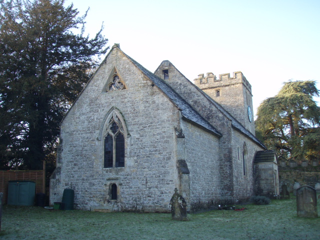
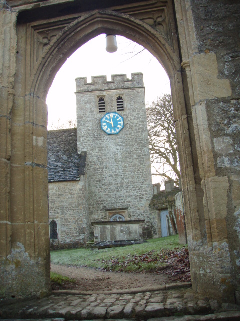
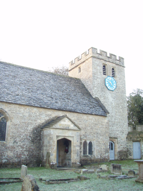
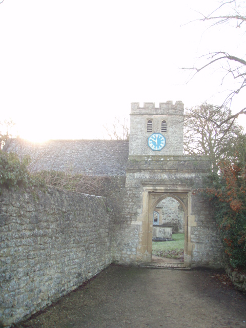
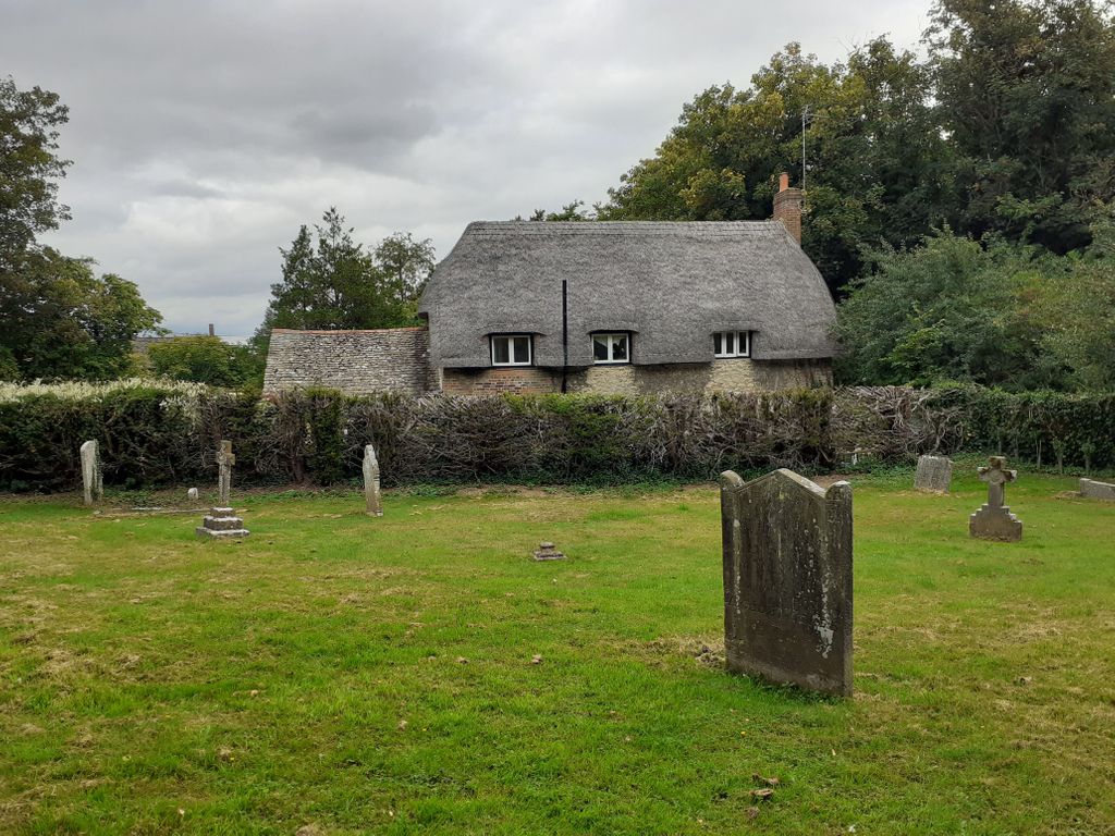
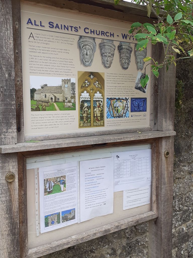
| Description | : | Wytham was part of Berkshire until the 1974 boundary changes transferred it to Oxfordshire. The toponym is first recorded as Wihtham around AD 957, and comes from the Old English for a homestead or village in a river-bend. The manor of Wytham along with Wytham Abbey (not a religious foundation but the manor house) and much of the village was formerly owned by the Earls of Abingdon. The Church of England parish church of All Saints is a medieval building[citation needed] extensively rebuilt by Montagu Bertie, 5th Earl of Abingdon. Wytham Woods is an area of long-established mixed woodland... Read More |
frequently asked questions (FAQ):
-
Where is Wytham Churchyard?
Wytham Churchyard is located at Wytham, Vale of White Horse District ,Oxfordshire ,England.
-
Wytham Churchyard cemetery's updated grave count on graveviews.com?
0 memorials
-
Where are the coordinates of the Wytham Churchyard?
Latitude: 51.7736230
Longitude: -1.3131610
Nearby Cemetories:
1. Godstow Abbey Ruins
Oxford, City of Oxford, England
Coordinate: 51.7784060, -1.2998170
2. Saint Margaret of Antioch
City of Oxford, England
Coordinate: 51.7690340, -1.2975900
3. St. Peter Churchyard
Wolvercote, City of Oxford, England
Coordinate: 51.7848300, -1.2811100
4. Botley Cemetery
Botley, Vale of White Horse District, England
Coordinate: 51.7518050, -1.2930000
5. St Peter's Churchyard
Cassington, West Oxfordshire District, England
Coordinate: 51.7923610, -1.3423160
6. Yarnton Cemetery
Yarnton, Cherwell District, England
Coordinate: 51.8004080, -1.3103260
7. St. Bartholomew's Churchyard
Yarnton, Cherwell District, England
Coordinate: 51.8016610, -1.3087620
8. St. Sepulchres Cemetery
Oxford, City of Oxford, England
Coordinate: 51.7611110, -1.2694440
9. St Michael and All Angels Summertown
Oxford, City of Oxford, England
Coordinate: 51.7796280, -1.2643940
10. Wolvercote Cemetery
Oxford, City of Oxford, England
Coordinate: 51.7913666, -1.2721500
11. Saint Barnabas Church
Oxford, City of Oxford, England
Coordinate: 51.7579620, -1.2697600
12. St Frideswide Churchyard
Oxford, City of Oxford, England
Coordinate: 51.7521560, -1.2748350
13. St. Lawrence's Churchyard
North Hinksey, Vale of White Horse District, England
Coordinate: 51.7457590, -1.2848020
14. St Paul's Oxford Cemetery
Oxford, City of Oxford, England
Coordinate: 51.7594590, -1.2648470
15. Rewley Abbey
Oxford, City of Oxford, England
Coordinate: 51.7543810, -1.2675170
16. Osney Cemetery
Oxford, City of Oxford, England
Coordinate: 51.7505310, -1.2703040
17. St Thomas the Martyr
Oxford, City of Oxford, England
Coordinate: 51.7518100, -1.2683430
18. St Giles Churchyard
Oxford, City of Oxford, England
Coordinate: 51.7591660, -1.2605170
19. Osney Cathedral
Oxford, City of Oxford, England
Coordinate: 51.7497220, -1.2700000
20. Saint Thomas the Martyr Churchyard
Oxford, City of Oxford, England
Coordinate: 51.7512222, -1.2679445
21. Blackfriars
Oxford, City of Oxford, England
Coordinate: 51.7561210, -1.2602060
22. Oxford Castle and Prison Cemetery
Oxford, City of Oxford, England
Coordinate: 51.7521453, -1.2631165
23. St Johns College
Oxford, City of Oxford, England
Coordinate: 51.7560820, -1.2589910
24. Eynsham Abbey
Eynsham, West Oxfordshire District, England
Coordinate: 51.7786110, -1.3738890