
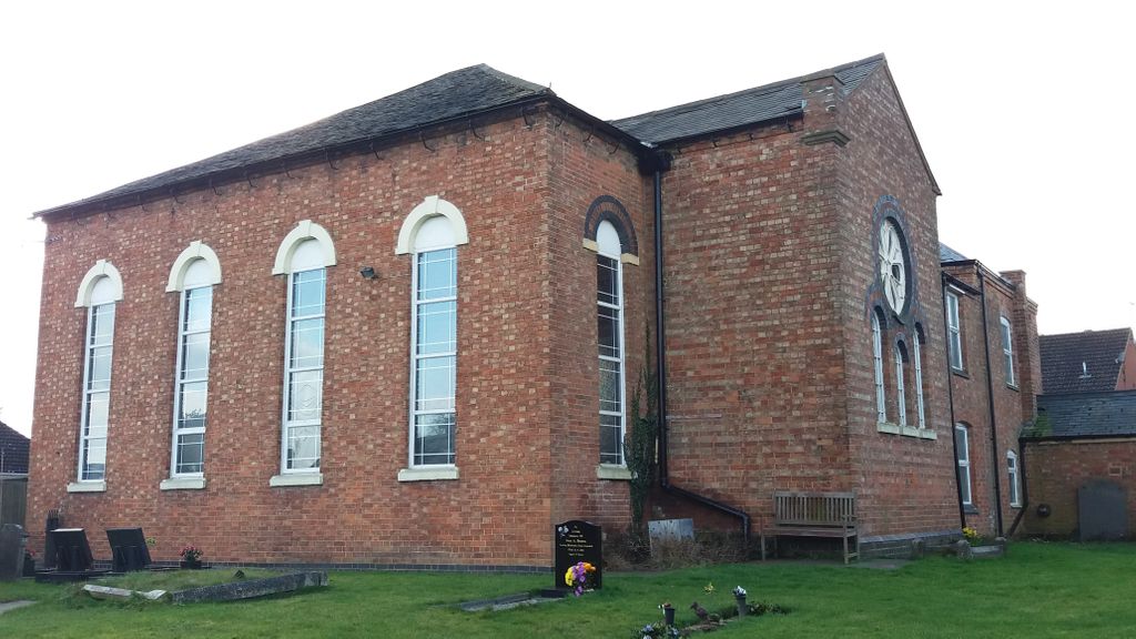
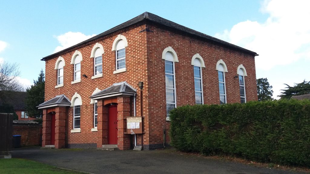
| Memorials | : | 0 |
| Location | : | Wolvey, Rugby Borough, England |
| Coordinate | : | 52.4870250, -1.3670310 |
frequently asked questions (FAQ):
-
Where is Wolvey Baptist Churchyard?
Wolvey Baptist Churchyard is located at School Lane Wolvey, Rugby Borough ,Warwickshire , LE10 3LHEngland.
-
Wolvey Baptist Churchyard cemetery's updated grave count on graveviews.com?
0 memorials
-
Where are the coordinates of the Wolvey Baptist Churchyard?
Latitude: 52.4870250
Longitude: -1.3670310
Nearby Cemetories:
1. St John the Baptist Churchyard
Wolvey, Rugby Borough, England
Coordinate: 52.4880490, -1.3671940
2. Wolvey Cemetery
Wolvey, Rugby Borough, England
Coordinate: 52.4869130, -1.3642870
3. St John's Churchyard
Copston Magna, Rugby Borough, England
Coordinate: 52.4918680, -1.3354700
4. St. Botolph Churchyard
Burton Hastings, Rugby Borough, England
Coordinate: 52.5055000, -1.3976000
5. All Saints Churchyard
Withybrook, Rugby Borough, England
Coordinate: 52.4574170, -1.3626220
6. St James Churchyard
Bulkington, Nuneaton and Bedworth Borough, England
Coordinate: 52.4773830, -1.4256900
7. Shilton Cemetery
Shilton, Rugby Borough, England
Coordinate: 52.4560640, -1.4076450
8. St Andrew's Churchyard
Shilton, Rugby Borough, England
Coordinate: 52.4556900, -1.4071560
9. Our Lady of the Sacred Heart Catholic Church
Bulkington, Nuneaton and Bedworth Borough, England
Coordinate: 52.4816820, -1.4341200
10. Burbage Cemetery
Burbage, Hinckley and Bosworth Borough, England
Coordinate: 52.5278950, -1.3347280
11. St Catherine's Churchyard
Burbage, Hinckley and Bosworth Borough, England
Coordinate: 52.5309330, -1.3483010
12. Saint James Parish Churchyard
Ansty, Rugby Borough, England
Coordinate: 52.4498190, -1.4132490
13. Barnacle Chapel Churchyard
Rugby Borough, England
Coordinate: 52.4590430, -1.4350380
14. St Edith's Churchyard
Monks Kirby, Rugby Borough, England
Coordinate: 52.4444360, -1.3195900
15. St Joseph's Roman Catholic Cemetery
Monks Kirby, Rugby Borough, England
Coordinate: 52.4479540, -1.3111280
16. St. Edith Churchyard
Monks Kirby, Rugby Borough, England
Coordinate: 52.4439800, -1.3192500
17. St Peter's Church
Aston Flamville, Blaby District, England
Coordinate: 52.5307260, -1.3187510
18. St Marys Parish Churchyard
Hinckley, Hinckley and Bosworth Borough, England
Coordinate: 52.5407970, -1.3721560
19. Heart of England Crematorium
Nuneaton, Nuneaton and Bedworth Borough, England
Coordinate: 52.5182420, -1.4425920
20. Attleborough Cemetery
Attleborough, Nuneaton and Bedworth Borough, England
Coordinate: 52.5116943, -1.4494337
21. Claybrooke Cemetery
Claybrooke Parva, Harborough District, England
Coordinate: 52.4862230, -1.2724990
22. St. Peter's Churchyard
Claybrooke Parva, Harborough District, England
Coordinate: 52.4868640, -1.2708550
23. St Helen
Sharnford, Blaby District, England
Coordinate: 52.5228440, -1.2886350
24. Congregational Chapel Burial Ground
Stretton under Fosse, Rugby Borough, England
Coordinate: 52.4290070, -1.3381370