
| Memorials | : | 0 |
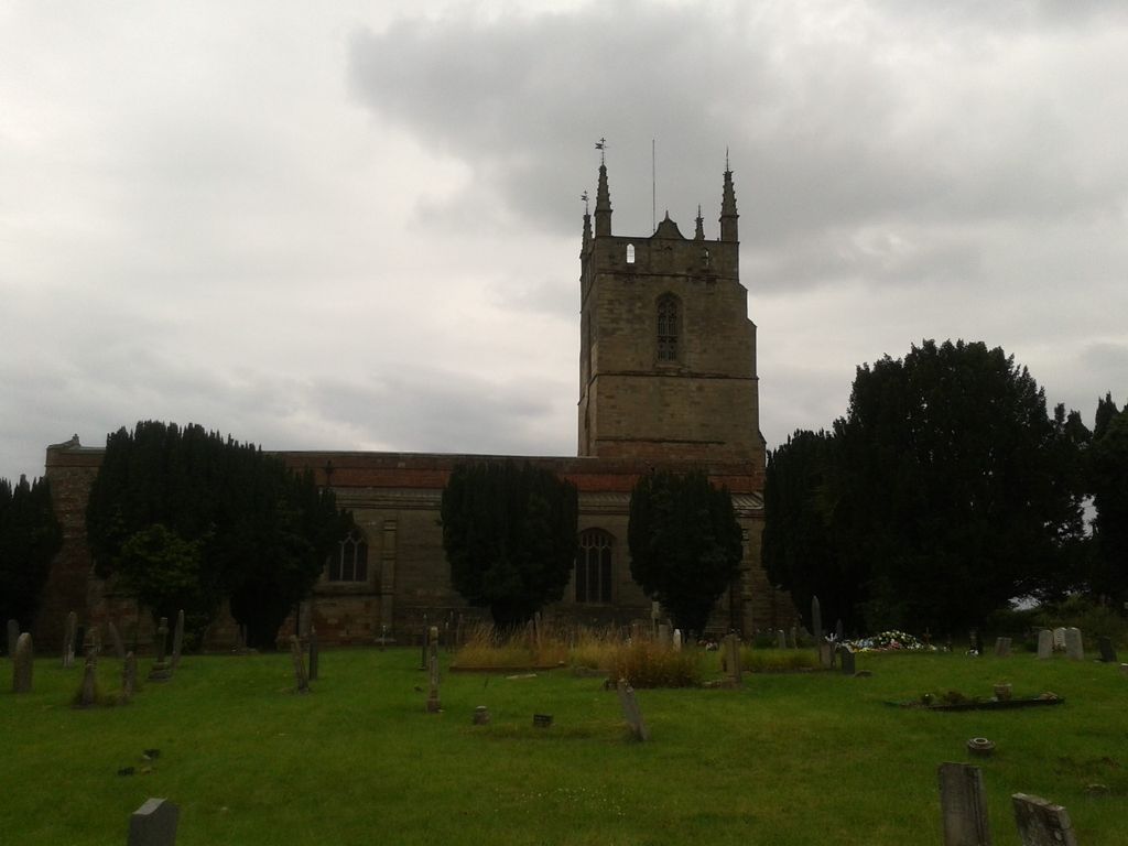
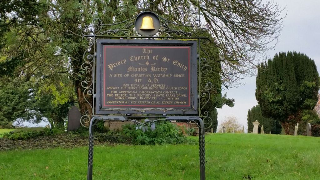
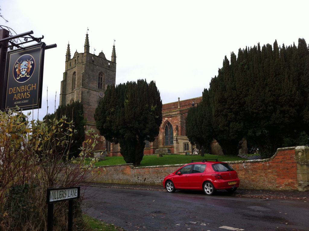
| Location | : | Monks Kirby, Rugby Borough, England |
| Coordinate | : | 52.4444360, -1.3195900 |
frequently asked questions (FAQ):
-
Where is St Edith's Churchyard?
St Edith's Churchyard is located at Monks Kirby, Rugby Borough ,Warwickshire ,England.
-
St Edith's Churchyard cemetery's updated grave count on graveviews.com?
0 memorials
-
Where are the coordinates of the St Edith's Churchyard?
Latitude: 52.4444360
Longitude: -1.3195900
Nearby Cemetories:
1. St. Edith Churchyard
Monks Kirby, Rugby Borough, England
Coordinate: 52.4439800, -1.3192500
2. St Joseph's Roman Catholic Cemetery
Monks Kirby, Rugby Borough, England
Coordinate: 52.4479540, -1.3111280
3. Congregational Chapel Burial Ground
Stretton under Fosse, Rugby Borough, England
Coordinate: 52.4290070, -1.3381370
4. All Saints Churchyard
Withybrook, Rugby Borough, England
Coordinate: 52.4574170, -1.3626220
5. St Leonard's churchyard
Willey, Rugby Borough, England
Coordinate: 52.4589200, -1.2705800
6. Brinklow Cemetery
Brinklow, Rugby Borough, England
Coordinate: 52.4161320, -1.3556710
7. Harborough Magna Cemetery
Harborough Magna, Rugby Borough, England
Coordinate: 52.4094260, -1.3021660
8. All Saints Church
Harborough Magna, Rugby Borough, England
Coordinate: 52.4092160, -1.3007650
9. St John the Baptist Churchyard
Brinklow, Rugby Borough, England
Coordinate: 52.4130320, -1.3590600
10. Holy Trinity Churchyard
Churchover, Rugby Borough, England
Coordinate: 52.4229460, -1.2506850
11. St John's Churchyard
Copston Magna, Rugby Borough, England
Coordinate: 52.4918680, -1.3354700
12. Wolvey Cemetery
Wolvey, Rugby Borough, England
Coordinate: 52.4869130, -1.3642870
13. Claybrooke Cemetery
Claybrooke Parva, Harborough District, England
Coordinate: 52.4862230, -1.2724990
14. Wolvey Baptist Churchyard
Wolvey, Rugby Borough, England
Coordinate: 52.4870250, -1.3670310
15. St. Peter's Churchyard
Claybrooke Parva, Harborough District, England
Coordinate: 52.4868640, -1.2708550
16. St John the Baptist Churchyard
Wolvey, Rugby Borough, England
Coordinate: 52.4880490, -1.3671940
17. St Andrew's Churchyard
Shilton, Rugby Borough, England
Coordinate: 52.4556900, -1.4071560
18. Shilton Cemetery
Shilton, Rugby Borough, England
Coordinate: 52.4560640, -1.4076450
19. Saint James Parish Churchyard
Ansty, Rugby Borough, England
Coordinate: 52.4498190, -1.4132490
20. St Botolph's Churchyard
Rugby, Rugby Borough, England
Coordinate: 52.3895850, -1.2864420
21. St. John's Churchyard
Long Lawford, Rugby Borough, England
Coordinate: 52.3835940, -1.3071930
22. St Peter's Churchyard
Church Lawford, Rugby Borough, England
Coordinate: 52.3832600, -1.3355600
23. St. Michael & All Angels Churchyard
Rugby Borough, England
Coordinate: 52.3920240, -1.2540180
24. St Mary's Churchyard
Cotesbach, Harborough District, England
Coordinate: 52.4371220, -1.2085910