
| Memorials | : | 0 |
| Location | : | Withybrook, Rugby Borough, England |
| Website | : | www.withybrookvillage.co.uk/index.php/all-saints-church |
| Coordinate | : | 52.4574170, -1.3626220 |
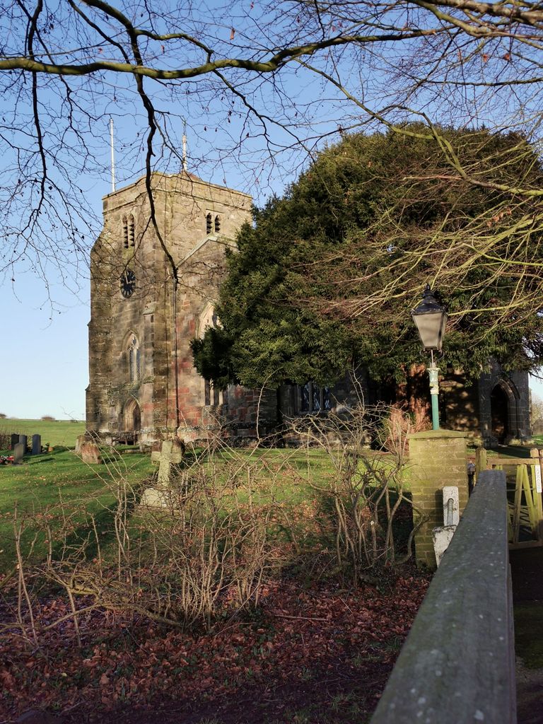
| Description | : | The parish church of All Saints, was built in the Medieval period. |
frequently asked questions (FAQ):
-
Where is All Saints Churchyard?
All Saints Churchyard is located at Church Lane Withybrook, Rugby Borough ,Warwickshire ,England.
-
All Saints Churchyard cemetery's updated grave count on graveviews.com?
0 memorials
-
Where are the coordinates of the All Saints Churchyard?
Latitude: 52.4574170
Longitude: -1.3626220
Nearby Cemetories:
1. St Andrew's Churchyard
Shilton, Rugby Borough, England
Coordinate: 52.4556900, -1.4071560
2. Shilton Cemetery
Shilton, Rugby Borough, England
Coordinate: 52.4560640, -1.4076450
3. St Edith's Churchyard
Monks Kirby, Rugby Borough, England
Coordinate: 52.4444360, -1.3195900
4. Wolvey Cemetery
Wolvey, Rugby Borough, England
Coordinate: 52.4869130, -1.3642870
5. St. Edith Churchyard
Monks Kirby, Rugby Borough, England
Coordinate: 52.4439800, -1.3192500
6. Wolvey Baptist Churchyard
Wolvey, Rugby Borough, England
Coordinate: 52.4870250, -1.3670310
7. St John the Baptist Churchyard
Wolvey, Rugby Borough, England
Coordinate: 52.4880490, -1.3671940
8. Saint James Parish Churchyard
Ansty, Rugby Borough, England
Coordinate: 52.4498190, -1.4132490
9. Congregational Chapel Burial Ground
Stretton under Fosse, Rugby Borough, England
Coordinate: 52.4290070, -1.3381370
10. St Joseph's Roman Catholic Cemetery
Monks Kirby, Rugby Borough, England
Coordinate: 52.4479540, -1.3111280
11. St John's Churchyard
Copston Magna, Rugby Borough, England
Coordinate: 52.4918680, -1.3354700
12. Brinklow Cemetery
Brinklow, Rugby Borough, England
Coordinate: 52.4161320, -1.3556710
13. St James Churchyard
Bulkington, Nuneaton and Bedworth Borough, England
Coordinate: 52.4773830, -1.4256900
14. Barnacle Chapel Churchyard
Rugby Borough, England
Coordinate: 52.4590430, -1.4350380
15. St John the Baptist Churchyard
Brinklow, Rugby Borough, England
Coordinate: 52.4130320, -1.3590600
16. Our Lady of the Sacred Heart Catholic Church
Bulkington, Nuneaton and Bedworth Borough, England
Coordinate: 52.4816820, -1.4341200
17. Lentons Lane Cemetery
Coventry, Metropolitan Borough of Coventry, England
Coordinate: 52.4476000, -1.4469500
18. St. Botolph Churchyard
Burton Hastings, Rugby Borough, England
Coordinate: 52.5055000, -1.3976000
19. Walsgrave-on Sowe Cemetery
Walsgrave on Sowe, Metropolitan Borough of Coventry, England
Coordinate: 52.4420000, -1.4498100
20. St Leonard's churchyard
Willey, Rugby Borough, England
Coordinate: 52.4589200, -1.2705800
21. Harborough Magna Cemetery
Harborough Magna, Rugby Borough, England
Coordinate: 52.4094260, -1.3021660
22. All Saints Church
Harborough Magna, Rugby Borough, England
Coordinate: 52.4092160, -1.3007650
23. Claybrooke Cemetery
Claybrooke Parva, Harborough District, England
Coordinate: 52.4862230, -1.2724990
24. St. Peter's Churchyard
Claybrooke Parva, Harborough District, England
Coordinate: 52.4868640, -1.2708550