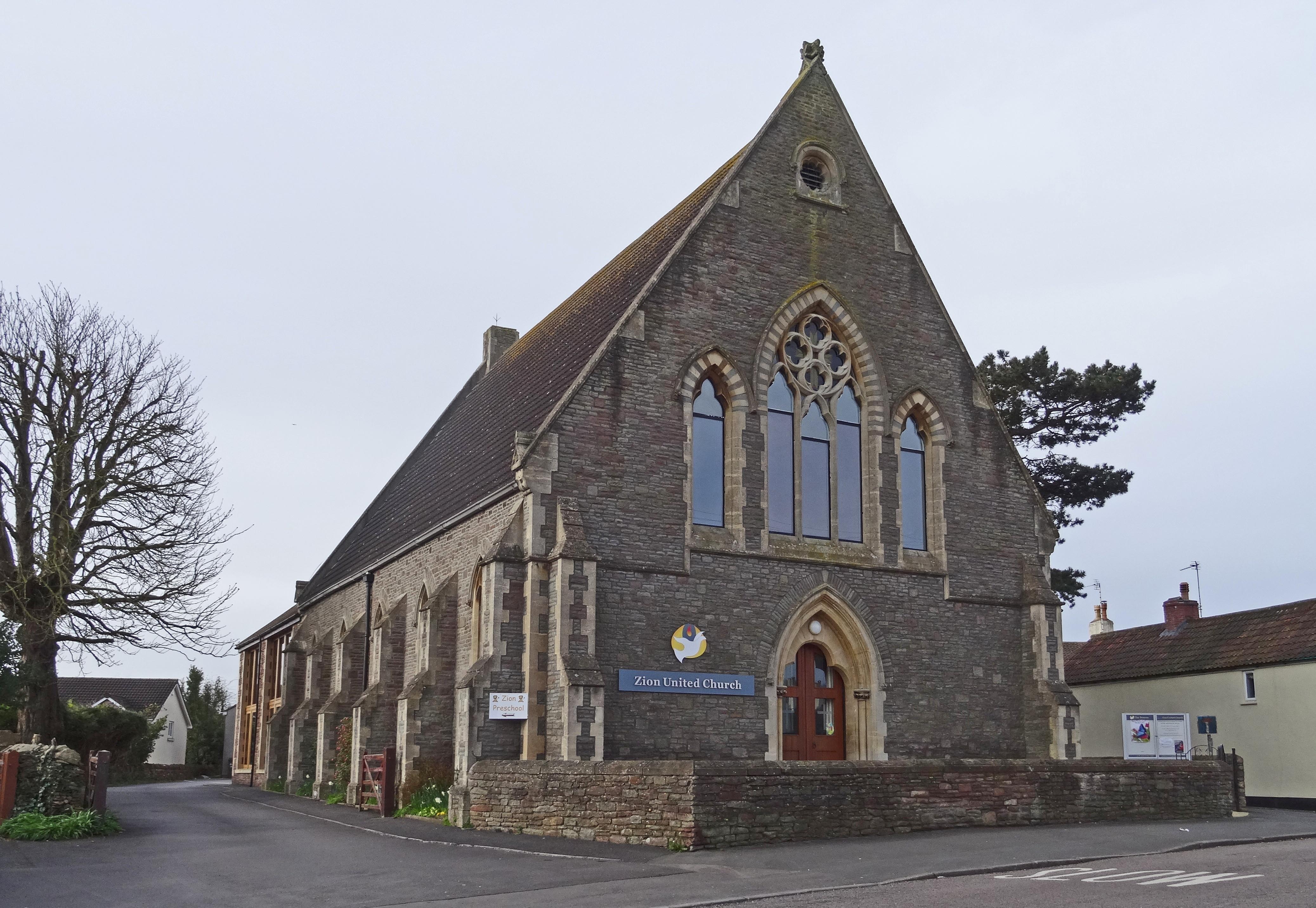
| Memorials | : | 36 |
| Location | : | Frampton Cotterell, South Gloucestershire Unitary Authority, England |
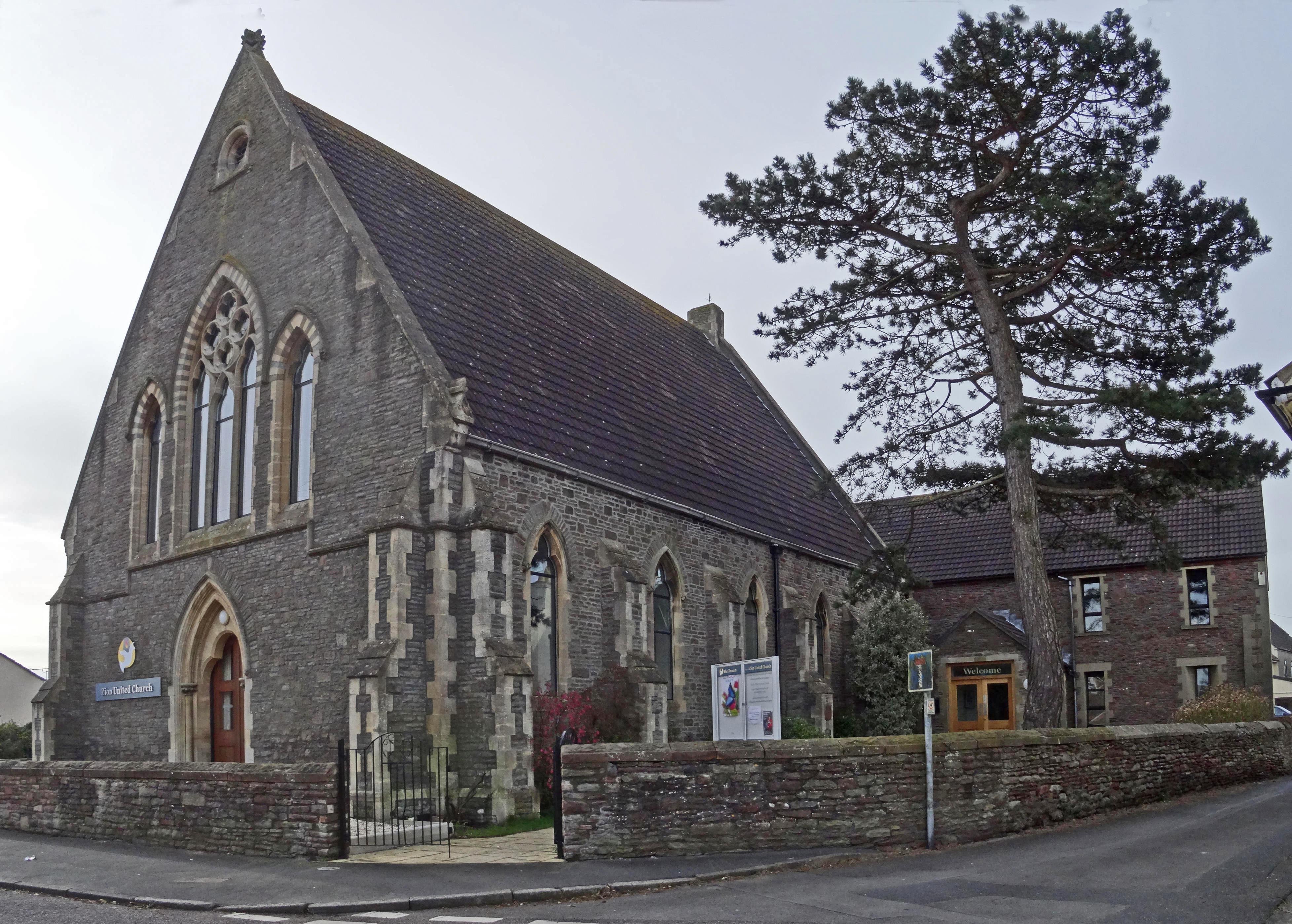
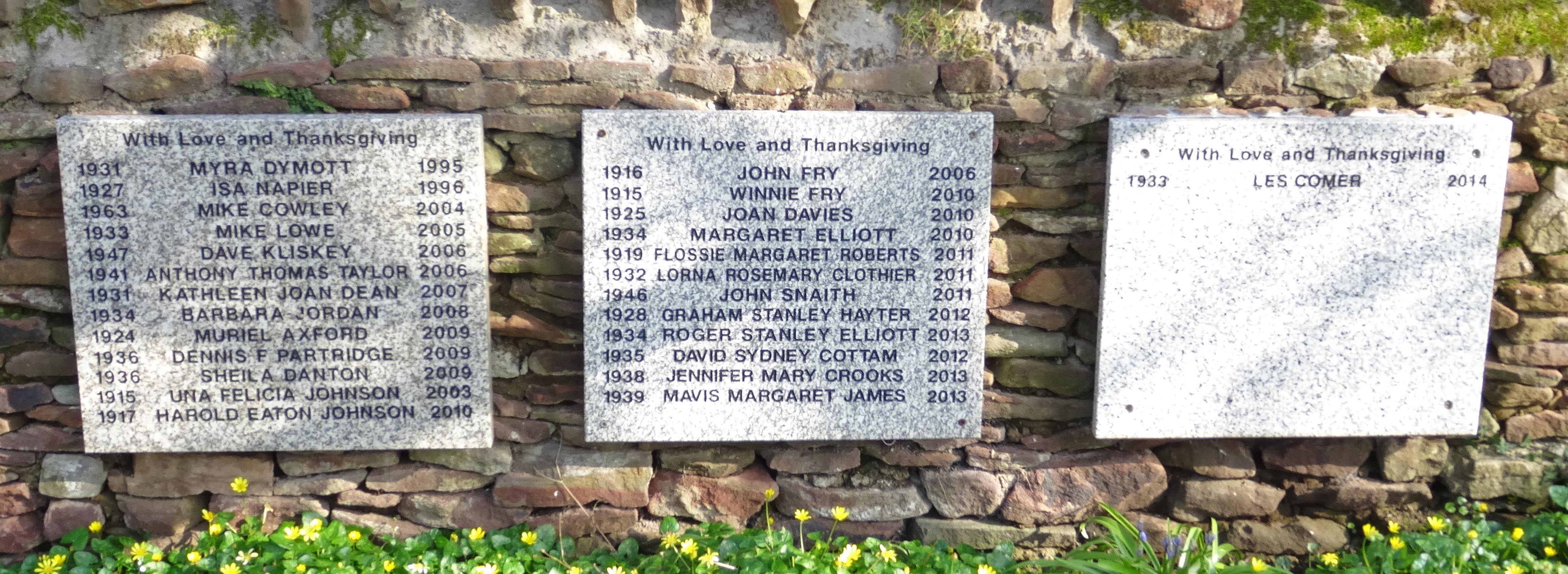
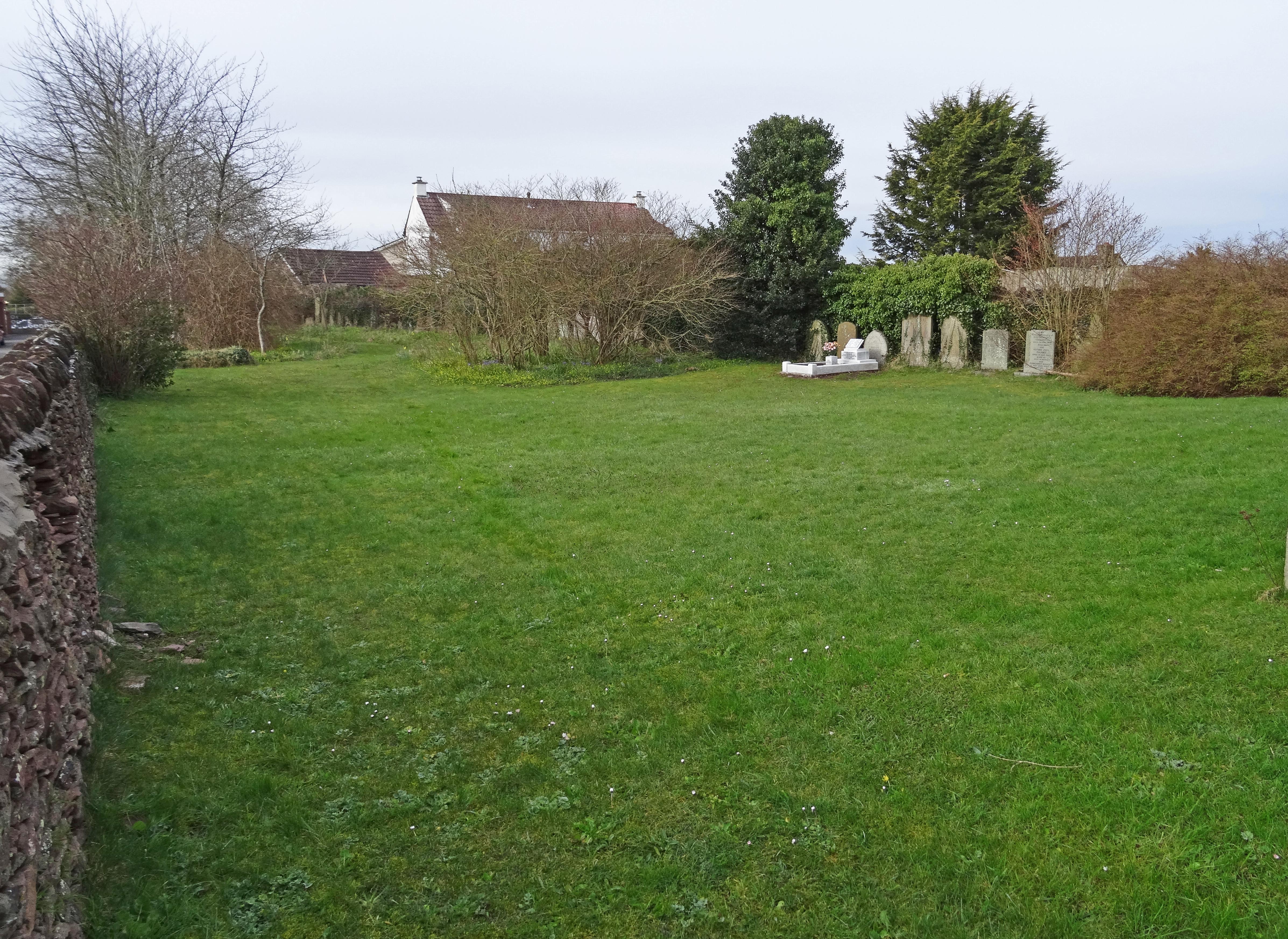
| Description | : | The first Zion Chapel was built 1795 with a graveyard accessed via Upper Chapel Lane. When the larger Zion Church was built burials continued until the 1940s with interments since in existing plots. The graveyard became overgrown with invasive weeds making it unsightly and dangerous. After publicity the Church authorities removed gravestones during 1985 converting this to a garden of remembrance, while headstones bearing legible inscriptions were fixed along one wall. Shrubs provide food and nesting for birds and grass is above 4 inches to encourage meadow flowers to grow. (Source = Frampton Cotterell Parish Website. www.framptoncott.co.uk) |
frequently asked questions (FAQ):
-
Where is Zion Chapel Graveyard?
Zion Chapel Graveyard is located at No GPS information available Add GPSWoodend Road Frampton Cotterell, South Gloucestershire Unitary Authority ,Gloucestershire ,England.
-
Zion Chapel Graveyard cemetery's updated grave count on graveviews.com?
36 memorials
Nearby Cemetories:
1. Bristol Memorial Woodlands
Alveston, South Gloucestershire Unitary Authority, England
Coordinate: 51.5932110, -2.4799250
2. St Helen Churchyard
Alveston, South Gloucestershire Unitary Authority, England
3. St Saviour's Church
Coalpit Heath, South Gloucestershire Unitary Authority, England
4. St Peter's Churchyard
Dyrham, South Gloucestershire Unitary Authority, England
Coordinate: 51.5400900, -2.2818500
5. St Mary Churchyard
Hawkesbury, South Gloucestershire Unitary Authority, England
Coordinate: 51.5442200, -2.2800310
6. Holy Trinity Churchyard
Kingswood, South Gloucestershire Unitary Authority, England
Coordinate: 51.6121930, -2.4456930
7. Kingswood Methodist Church Burial Ground
Kingswood, South Gloucestershire Unitary Authority, England
8. Kingwood Wesleyan Chapel
Kingswood, South Gloucestershire Unitary Authority, England
Coordinate: 51.4484992, -2.5222650
9. Master's Church Cemetery
Kingswood, South Gloucestershire Unitary Authority, England
Coordinate: 51.4474802, -2.5107480
10. Moravian Chapel
Kingswood, South Gloucestershire Unitary Authority, England
Coordinate: 51.4509706, -2.5189809
11. Wesleyan Methodist Church
Kingswood, South Gloucestershire Unitary Authority, England
12. St Anne's Churchyard
Siston, South Gloucestershire Unitary Authority, England
13. St James Parish Churchyard
Tytherington, South Gloucestershire Unitary Authority, England
Coordinate: 51.5932110, -2.4799250
14. St. Bartholomew Churchyard
Wick, South Gloucestershire Unitary Authority, England
15. Essex House Grounds, Badminton Estate
Badminton, South Gloucestershire Unitary Authority, England
16. Saint Michael's
Badminton, South Gloucestershire Unitary Authority, England
Coordinate: 51.5400900, -2.2818500
17. St Michael and All Angels Churchyard
Badminton, South Gloucestershire Unitary Authority, England
Coordinate: 51.5442200, -2.2800310
18. St Andrew Churchyard
Cromhall, South Gloucestershire Unitary Authority, England
Coordinate: 51.6121930, -2.4456930
19. Elberton St. John the Evangalist
Elberton, South Gloucestershire Unitary Authority, England
20. Christ Church Churchyard
Hanham, South Gloucestershire Unitary Authority, England
Coordinate: 51.4484992, -2.5222650
21. Hanham Baptist Church Cemetery
Hanham, South Gloucestershire Unitary Authority, England
Coordinate: 51.4474802, -2.5107480
22. Hanham United Reform Church Cemetery
Hanham, South Gloucestershire Unitary Authority, England
Coordinate: 51.4509706, -2.5189809
23. Church of St. Mary of Malmesbury
Littleton-upon-Severn, South Gloucestershire Unitary Authority, England
24. St. Arilda's Churchyard
Oldbury-on-Severn, South Gloucestershire Unitary Authority, England

