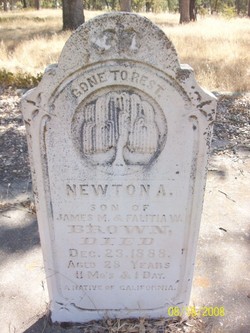
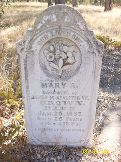
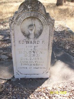
| Birth | : | 22 Jan 1860 Cosumne, Sacramento County, California, USA |
| Death | : | Feb 1860 Cosumne, Sacramento County, California, USA |
| Burial | : | Live Oak Cemetery, Sacramento County, USA |
| Coordinate | : | 38.4780998, -121.0408020 |
frequently asked questions (FAQ):
-
Where is Albert Warren Brown's memorial?
Albert Warren Brown's memorial is located at: Live Oak Cemetery, Sacramento County, USA.
-
When did Albert Warren Brown death?
Albert Warren Brown death on Feb 1860 in Cosumne, Sacramento County, California, USA
-
Where are the coordinates of the Albert Warren Brown's memorial?
Latitude: 38.4780998
Longitude: -121.0408020
Family Members:
Parent
Siblings
Flowers:
Nearby Cemetories:
1. Live Oak Cemetery
Sacramento County, USA
Coordinate: 38.4780998, -121.0408020
2. Moriah Heights Cemetery
Plymouth, Amador County, USA
Coordinate: 38.4797300, -121.0111300
3. Michigan Bar Cemetery
Rancho Murieta, Sacramento County, USA
Coordinate: 38.4850006, -121.0783005
4. Fay-Perry Cemetery
Rancho Murieta, Sacramento County, USA
Coordinate: 38.4995330, -121.0737910
5. Latrobe Cemetery
Latrobe, El Dorado County, USA
Coordinate: 38.5613518, -120.9903412
6. White Family Cemetery
Plymouth, Amador County, USA
Coordinate: 38.4915200, -120.9002200
7. Sloughhouse Pioneer Cemetery
Sloughhouse, Sacramento County, USA
Coordinate: 38.4950130, -121.1916080
8. Bryant Cemetery
Latrobe, El Dorado County, USA
Coordinate: 38.5830383, -120.9679184
9. Preston School of Industry Cemetery
Ione, Amador County, USA
Coordinate: 38.3608440, -120.9371870
10. Schenck Ranch Cemetery
Frenchtown, El Dorado County, USA
Coordinate: 38.5961120, -120.9281020
11. Cowboy Park Cemetery
Plymouth, Amador County, USA
Coordinate: 38.4787060, -120.8522060
12. Drytown City Cemetery
Amador County, USA
Coordinate: 38.4407425, -120.8577118
13. Plymouth IOOF Cemetery
Plymouth, Amador County, USA
Coordinate: 38.4791000, -120.8506800
14. Plymouth Memorial Cemetery
Plymouth, Amador County, USA
Coordinate: 38.4821160, -120.8496160
15. Saint Stephens Cemetery
Drytown, Amador County, USA
Coordinate: 38.4417730, -120.8522840
16. Ione Catholic Cemetery
Ione, Amador County, USA
Coordinate: 38.3483040, -120.9329300
17. Ione Public Cemetery
Ione, Amador County, USA
Coordinate: 38.3478830, -120.9322000
18. Chinese Cemetery
Placerville, El Dorado County, USA
Coordinate: 38.5836700, -120.8817100
19. Fanny Creek Cemetery
El Dorado County, USA
Coordinate: 38.5837700, -120.8816900
20. Oak Knoll Cemetery
Amador City, Amador County, USA
Coordinate: 38.4263992, -120.8300018
21. Union Cemetery
Sacramento County, USA
Coordinate: 38.4477997, -121.2619019
22. Greater Sacramento Muslim Cemetery
Sacramento, Sacramento County, USA
Coordinate: 38.5128300, -121.2616800
23. Morrison Ranch Family Cemetery
Clarksville, El Dorado County, USA
Coordinate: 38.6552887, -121.0368500
24. Clarksville Cemetery
Clarksville, El Dorado County, USA
Coordinate: 38.6546707, -121.0615387

