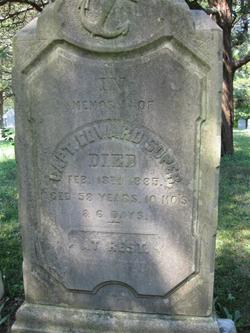
Capt Edward Soper
| Birth | : | 7 Apr 1826 Waretown, Ocean County, New Jersey, USA |
| Death | : | 13 Feb 1885 Waretown, Ocean County, New Jersey, USA |
| Burial | : | Empire Cemetery, Galva, McPherson County, USA |
| Coordinate | : | 38.3403015, -97.5192032 |
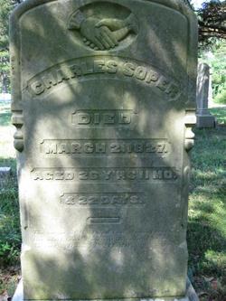
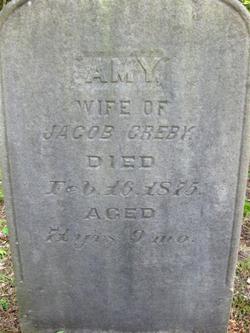
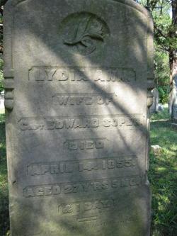
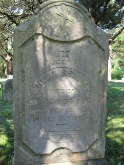
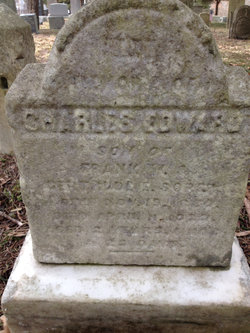
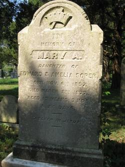
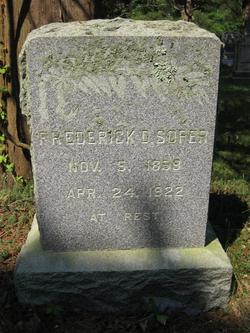
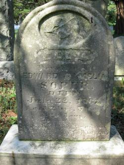
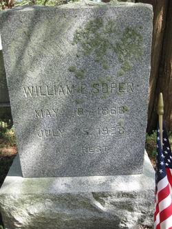
| Description | : | Edward died at age 58 years, 10 months, 6 days. He was the son of Charles Soper and Amy Warren. Edward was first married to Lydia Ann Cranmer who died in 1855. On June 25, 1856 he remarried to Amelia Seaman of West Creek, NJ. The 1850 Census for Union Township, NJ lists the following Household Members: Soper, Edward (25, M, boatman) Soper, Lydia A. (Cranmer) (20, F) Soper, James W. (1, M) Cranmer, Amos (25, M, boatman) Cranmer, Serena (20, F) Children recorded for Amelia Seaman and Edward Soper are: Mary Ann Soper b: 6 Nov 1857 in Jersey City, NJ Frederick Davey Soper b: 5 Nov 1859 in Jersey City,... Read More |
frequently asked questions (FAQ):
-
Where is Capt Edward Soper's memorial?
Capt Edward Soper's memorial is located at: Empire Cemetery, Galva, McPherson County, USA.
-
When did Capt Edward Soper death?
Capt Edward Soper death on 13 Feb 1885 in Waretown, Ocean County, New Jersey, USA
-
Where are the coordinates of the Capt Edward Soper's memorial?
Latitude: 38.3403015
Longitude: -97.5192032
Family Members:
Parent
Spouse
Siblings
Children
Flowers:
Nearby Cemetories:
1. Empire Cemetery
Galva, McPherson County, USA
Coordinate: 38.3403015, -97.5192032
2. Dunkard Church Cemetery
Galva, McPherson County, USA
Coordinate: 38.3497009, -97.5006027
3. Suncrest Mennonite Cemetery
Galva, McPherson County, USA
Coordinate: 38.3685500, -97.5378000
4. Emmanuel Bible Church Cemetery
Moundridge, McPherson County, USA
Coordinate: 38.2868200, -97.5264200
5. Lone Tree Cemetery
Moundridge, McPherson County, USA
Coordinate: 38.2846985, -97.5002975
6. United Center Church Cemetery
Galva, McPherson County, USA
Coordinate: 38.4069810, -97.4821720
7. Immanuel Lutheran Church Cemetery
Canton, McPherson County, USA
Coordinate: 38.2755330, -97.4473030
8. Canton Township Cemetery
Canton, McPherson County, USA
Coordinate: 38.3974170, -97.4280350
9. McPherson Cemetery
McPherson, McPherson County, USA
Coordinate: 38.3630981, -97.6430969
10. Spring Valley Mennonite Cemetery
Canton, McPherson County, USA
Coordinate: 38.3338170, -97.3908220
11. McPherson Town Museum
McPherson, McPherson County, USA
Coordinate: 38.3697100, -97.6504160
12. German Evangelical Lutheran Cemetery
Meridian Township, McPherson County, USA
Coordinate: 38.2567150, -97.4267420
13. Jones Cemetery
Canton, McPherson County, USA
Coordinate: 38.3833008, -97.3861008
14. Company D 2nd Kansas Infantry World War I Memorial
McPherson, McPherson County, USA
Coordinate: 38.3700500, -97.6696000
15. New Gottland Cemetery
McPherson County, USA
Coordinate: 38.4390520, -97.6098990
16. Eden Mennonite Church Cemetery
Moundridge, McPherson County, USA
Coordinate: 38.2329890, -97.5940630
17. Heinrich J. Schmidt Family Cemetery
Spring Valley Township, McPherson County, USA
Coordinate: 38.2754900, -97.3763700
18. Hager Family Cemetery
McPherson County, USA
Coordinate: 38.4361450, -97.3941690
19. Schmidt Homestead Cemetery
Meridian Township, McPherson County, USA
Coordinate: 38.2654300, -97.3717700
20. West Zion Cemetery
Moundridge, McPherson County, USA
Coordinate: 38.2028008, -97.5372009
21. Mound Township Cemetery
Moundridge, McPherson County, USA
Coordinate: 38.2028008, -97.5378036
22. Oakes Cemetery
Canton, McPherson County, USA
Coordinate: 38.4491997, -97.4080963
23. Blumenfeld Cemetery
Goessel, Marion County, USA
Coordinate: 38.2644900, -97.3697400
24. Hopefield Church Cemetery
Moundridge, McPherson County, USA
Coordinate: 38.2105180, -97.5858040

