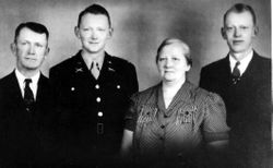
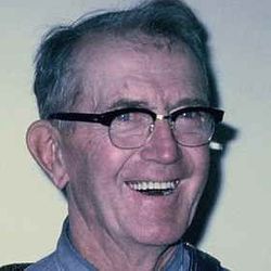
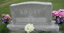
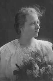
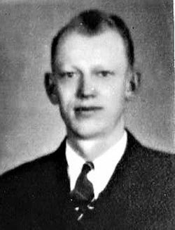
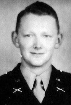
Carl Friedrick Knopp
| Birth | : | 13 Jan 1895 Woodbine, Dickinson County, Kansas, USA |
| Death | : | 12 Dec 1979 Chapman, Dickinson County, Kansas, USA |
| Burial | : | Fountain Grove Cemetery, Bryan, Williams County, USA |
| Coordinate | : | 41.4572182, -84.5480576 |
| Plot | : | Johnson Addition Lot 51 |
frequently asked questions (FAQ):
-
Where is Carl Friedrick Knopp's memorial?
Carl Friedrick Knopp's memorial is located at: Fountain Grove Cemetery, Bryan, Williams County, USA.
-
When did Carl Friedrick Knopp death?
Carl Friedrick Knopp death on 12 Dec 1979 in Chapman, Dickinson County, Kansas, USA
-
Where are the coordinates of the Carl Friedrick Knopp's memorial?
Latitude: 41.4572182
Longitude: -84.5480576
Family Members:
Parent
Spouse
Siblings
Children
Flowers:
Nearby Cemetories:
1. Fountain Grove Cemetery
Bryan, Williams County, USA
Coordinate: 41.4572182, -84.5480576
2. Brown Cemetery
Bryan, Williams County, USA
Coordinate: 41.4822006, -84.5935974
3. Fetters Cemetery
Williams County, USA
Coordinate: 41.4519500, -84.6159900
4. Beaver Creek Cemetery
Williams County, USA
Coordinate: 41.4808006, -84.4858017
5. Williams Center Cemetery
Williams Center, Williams County, USA
Coordinate: 41.4288902, -84.6125031
6. Trinity Lutheran Cemetery
Ney, Defiance County, USA
Coordinate: 41.4016991, -84.5353012
7. Old Pulaski Cemetery
Williams County, USA
Coordinate: 41.5135994, -84.5119019
8. Yackee Cemetery
Williams County, USA
Coordinate: 41.4707985, -84.6324997
9. Lick Creek Cemetery
Bryan, Williams County, USA
Coordinate: 41.5135994, -84.5927963
10. Melbern-Neihardt Cemetery
Melbern, Williams County, USA
Coordinate: 41.4633600, -84.6416330
11. Ney Cemetery
Ney, Defiance County, USA
Coordinate: 41.3856010, -84.5271988
12. Doud Cemetery
Ney, Defiance County, USA
Coordinate: 41.3811680, -84.5161110
13. Lintz Cemetery
Ney, Defiance County, USA
Coordinate: 41.3760986, -84.5402985
14. Shiffler Cemetery
Jefferson Township, Williams County, USA
Coordinate: 41.5325012, -84.5063934
15. Boynton Cemetery
Stryker, Williams County, USA
Coordinate: 41.4782982, -84.4389038
16. Doll Cemetery
Ney, Defiance County, USA
Coordinate: 41.3809319, -84.4963684
17. French Cemetery
Springfield Township, Williams County, USA
Coordinate: 41.5039100, -84.4485500
18. West Bethesda Cemetery
West Jefferson, Williams County, USA
Coordinate: 41.5422700, -84.5941200
19. Farmer Cemetery
Farmer, Defiance County, USA
Coordinate: 41.3903008, -84.6410980
20. Buck Cemetery
Williams County, USA
Coordinate: 41.4272003, -84.4250031
21. Oakwood Cemetery
Stryker, Williams County, USA
Coordinate: 41.4978900, -84.4274700
22. Bodel Cemetery
Stryker, Williams County, USA
Coordinate: 41.5277080, -84.4495600
23. Williams County Infirmary Cemetery
West Unity, Williams County, USA
Coordinate: 41.5571430, -84.5097860
24. Hepker Cemetery
Blakeslee, Williams County, USA
Coordinate: 41.5136620, -84.6707873

