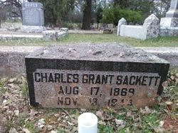
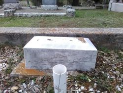
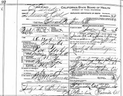
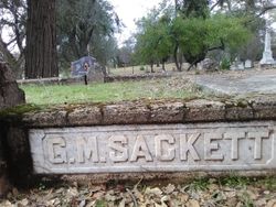
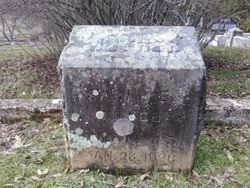
Charles Grant Sackett
| Birth | : | 17 Aug 1869 Sly Park, El Dorado County, California, USA |
| Death | : | 13 Nov 1944 El Dorado, El Dorado County, California, USA |
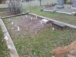
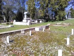
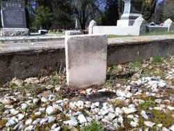
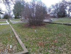
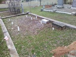
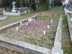
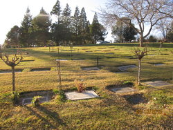
| Burial | : | Mount Pleasant Cemetery, Boaz, Graves County, USA |
| Coordinate | : | 36.9248795, -88.6161303 |
| Plot | : | sec 2 row 6 plot 21 |
| Description | : | Mountain Democrat (Placerville, CA), Thursday, November 16, 1944, page 1: "CHAS. G. SACKETT CALLED BY DEATH "Charles G. Sackett, 75, retired former maintenance foreman in the El Dorado section for the Stat Division of Highways, passed away Monday evening at his home at El Dorado. The funeral services will be held at 2 o'clock Friday afternoon and the El Dorado Community Church under arrangements concluded with the assistance of Memory Chapel. Rev. J. R. Rudkin will officiate. Interment will be at El Dorado cemetery. Mr. Sackett was a native of this county, born on August 17, 1869.... Read More |
frequently asked questions (FAQ):
-
Where is Charles Grant Sackett's memorial?
Charles Grant Sackett's memorial is located at: Mount Pleasant Cemetery, Boaz, Graves County, USA.
-
When did Charles Grant Sackett death?
Charles Grant Sackett death on 13 Nov 1944 in El Dorado, El Dorado County, California, USA
-
Where are the coordinates of the Charles Grant Sackett's memorial?
Latitude: 36.9248795
Longitude: -88.6161303
Family Members:
Parent
Spouse
Siblings
Children
Flowers:
Nearby Cemetories:
1. Mount Pleasant Cemetery
Boaz, Graves County, USA
Coordinate: 36.9248795, -88.6161303
2. Boaz Cemetery
Dogwood, Graves County, USA
Coordinate: 36.9185390, -88.5883430
3. Boat Cemetery
Graves County, USA
Coordinate: 36.9185982, -88.5877991
4. Gore Cemetery
Saint Johns, McCracken County, USA
Coordinate: 36.9479710, -88.6274400
5. McNeil Cemetery
McCracken County, USA
Coordinate: 36.9136009, -88.6453018
6. McNeill Cemetery
Graves County, USA
Coordinate: 36.9139470, -88.6457220
7. Johnson Cemetery
Boaz, Graves County, USA
Coordinate: 36.8993988, -88.6283035
8. Hardmoney Baptist Church Cemetery
Boaz, Graves County, USA
Coordinate: 36.9424190, -88.5839870
9. Straub Cemetery
McCracken County, USA
Coordinate: 36.9432983, -88.6539001
10. Boaz Cemetery
Graves County, USA
Coordinate: 36.9025002, -88.5789032
11. Houser Grove Church of Christ Cemetery
Paducah, McCracken County, USA
Coordinate: 36.9567833, -88.6445618
12. Thompson Cemetery
McCracken County, USA
Coordinate: 36.9644012, -88.6132965
13. Mount Pisgah Cemetery
Boaz, Graves County, USA
Coordinate: 36.8842200, -88.6086600
14. McClure Cemetery
Graves County, USA
Coordinate: 36.9108009, -88.5661011
15. Dunaway Cemetery
McCracken County, USA
Coordinate: 36.9622002, -88.6521988
16. Nall Cemetery
Folsomdale, Graves County, USA
Coordinate: 36.9109170, -88.6733330
17. Johnson Cemetery
McCracken County, USA
Coordinate: 36.9618988, -88.6624985
18. Spring Creek Church of Christ Cemetery
Dogwood, Graves County, USA
Coordinate: 36.8830480, -88.5752620
19. Houser-Harper Cemetery
McCracken County, USA
Coordinate: 36.9757996, -88.6438980
20. Houser Cemetery
McCracken County, USA
Coordinate: 36.9757996, -88.6438980
21. Woodlawn Memorial Gardens
Paducah, McCracken County, USA
Coordinate: 36.9585991, -88.6744003
22. Colliers Cemetery
Saint Johns, McCracken County, USA
Coordinate: 36.9536300, -88.6789920
23. Salem Cemetery
Boaz, Graves County, USA
Coordinate: 36.8669014, -88.6278000
24. Pryors Chapel Cemetery
Graves County, USA
Coordinate: 36.9282990, -88.5397034

