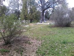
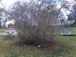
Stephen Erastus Sackett
| Birth | : | 1855 Herkimer County, New York, USA |
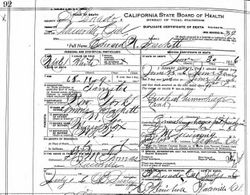
| Death | : | 13 Mar 1901 Sacramento, Sacramento County, California, USA |
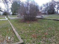
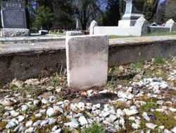
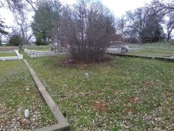
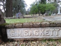
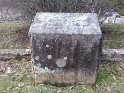
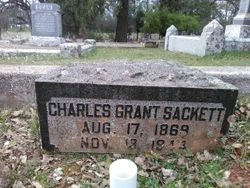
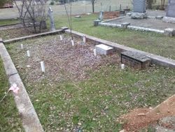
| Burial | : | El Dorado Cemetery, El Dorado, El Dorado County, USA |
| Coordinate | : | 38.6804085, -120.8490067 |
| Plot | : | Sec 1 Row 4 Plot 25A (2006) |
| Description | : | The Mountain Democrat, Placerville, California, Saturday, 23 Mar 1901 After long suffering from consumption, Steven E. Sackett died at his home in Sacramento last Monday, the 19th inst. He was a native son of California, and had been a resident of this county from boyhood until his removal to Sacramento. While living in this county he was chiefly engaged in the saloon and hotel business. At one time he kept the Klondike, now known as the New Western Hotel. He was 46 years of age and leaves a wife and two children. His remains were... Read More |
frequently asked questions (FAQ):
-
Where is Stephen Erastus Sackett's memorial?
Stephen Erastus Sackett's memorial is located at: El Dorado Cemetery, El Dorado, El Dorado County, USA.
-
When did Stephen Erastus Sackett death?
Stephen Erastus Sackett death on 13 Mar 1901 in Sacramento, Sacramento County, California, USA
-
Where are the coordinates of the Stephen Erastus Sackett's memorial?
Latitude: 38.6804085
Longitude: -120.8490067
Family Members:
Parent
Spouse
Siblings
Children
Flowers:
Nearby Cemetories:
1. El Dorado Cemetery
El Dorado, El Dorado County, USA
Coordinate: 38.6804085, -120.8490067
2. Kingsville Cemetery
El Dorado, El Dorado County, USA
Coordinate: 38.6993870, -120.8516060
3. Carpenter Family Residence Burial Plot
Diamond Springs, El Dorado County, USA
Coordinate: 38.6941590, -120.8187750
4. Diamond Springs Cemetery
Diamond Springs, El Dorado County, USA
Coordinate: 38.6940960, -120.8186620
5. Greenstone Cemetery
Shingle Springs, El Dorado County, USA
Coordinate: 38.6749020, -120.8869240
6. Odd Fellows Cemetery
Diamond Springs, El Dorado County, USA
Coordinate: 38.6963882, -120.8151932
7. Missouri Flat Cemetery
Placerville, El Dorado County, USA
Coordinate: 38.7157360, -120.8403400
8. Weberville Cemetery
Placerville, El Dorado County, USA
Coordinate: 38.7024170, -120.7901000
9. Heusner Ranch Family Cemetery
Buckeye, El Dorado County, USA
Coordinate: 38.6675770, -120.9135260
10. Meyer-Zentgraf Cemetery
Shingle Springs, El Dorado County, USA
Coordinate: 38.6710620, -120.9158490
11. Old Placerville City Cemetery
Placerville, El Dorado County, USA
Coordinate: 38.7258987, -120.8059464
12. Middletown Cemetery
Placerville, El Dorado County, USA
Coordinate: 38.7358704, -120.8301010
13. Old Saint Patricks Cemetery
Placerville, El Dorado County, USA
Coordinate: 38.7249107, -120.8024673
14. Westwood Hills Memorial Park Pet Cemetery
Placerville, El Dorado County, USA
Coordinate: 38.7365210, -120.8323130
15. Westwood Hills Memorial Park
Placerville, El Dorado County, USA
Coordinate: 38.7367363, -120.8326035
16. Jewish Pioneer Cemetery
Placerville, El Dorado County, USA
Coordinate: 38.7299500, -120.8091965
17. Boles Family Cemetery
Placerville, El Dorado County, USA
Coordinate: 38.7309860, -120.8069580
18. Placerville Union Cemetery
Placerville, El Dorado County, USA
Coordinate: 38.7317390, -120.8084106
19. Saint Patrick Cemetery
Placerville, El Dorado County, USA
Coordinate: 38.7327995, -120.8047638
20. Shingle Springs Cemetery
Shingle Springs, El Dorado County, USA
Coordinate: 38.6648903, -120.9270325
21. Frenchtown Cemetery
Frenchtown, El Dorado County, USA
Coordinate: 38.6421585, -120.9132309
22. Methodist Episcopal Federated Cemetery
Placerville, El Dorado County, USA
Coordinate: 38.7283287, -120.7942200
23. County Hospital Cemetery
Placerville, El Dorado County, USA
Coordinate: 38.7342796, -120.8028488
24. Cold Springs Cemetery
Cold Springs, El Dorado County, USA
Coordinate: 38.7441444, -120.8721619

