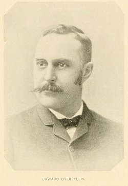
Dr Edward Dyer Ellis
| Birth | : | 31 Aug 1850 Fair Haven, Rutland County, Vermont, USA |
| Death | : | 26 Jan 1918 Poultney, Rutland County, Vermont, USA |
| Burial | : | Matakana Public Cemetery, Matakana, Auckland Council, New Zealand |
| Coordinate | : | -36.3488910, 174.7232640 |
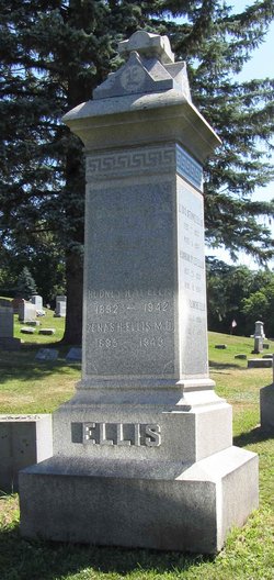
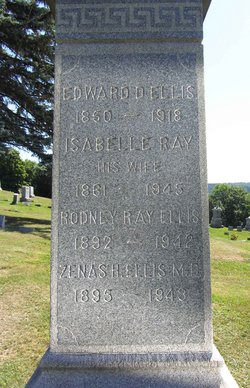
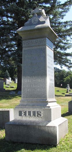
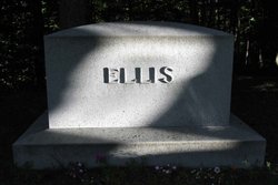
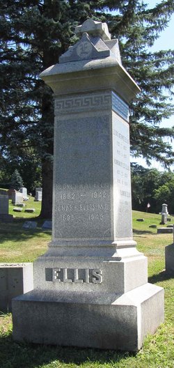
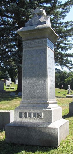
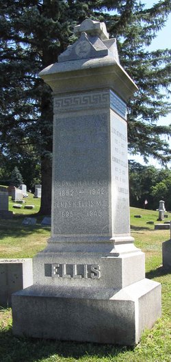
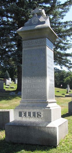
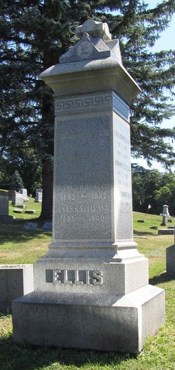
| Inscription | : | EDWARD D. ELLIS 1850 - 1918 |
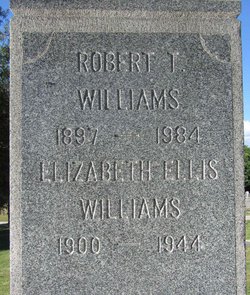
| Description | : | Son of Zenas Clark Ellis and Sarah Bowman Dyer. . Husband of Blanche Isabella "Belle" Ray, with whom he had six known children: Sarah Blanche Ellis Lydia Stow Ellis Hannah Dyer Ellis Rodney Ray Ellis Zenas H. Ellis Elizabeth S. Ellis . Tragedy struck this family in March 1894, when the first three children died (reasons unknown). . |
frequently asked questions (FAQ):
-
Where is Dr Edward Dyer Ellis's memorial?
Dr Edward Dyer Ellis's memorial is located at: Matakana Public Cemetery, Matakana, Auckland Council, New Zealand.
-
When did Dr Edward Dyer Ellis death?
Dr Edward Dyer Ellis death on 26 Jan 1918 in Poultney, Rutland County, Vermont, USA
-
Where are the coordinates of the Dr Edward Dyer Ellis's memorial?
Latitude: -36.3488910
Longitude: 174.7232640
Family Members:
Parent
Spouse
Siblings
Children
Flowers:
Nearby Cemetories:
1. Matakana Public Cemetery
Matakana, Auckland Council, New Zealand
Coordinate: -36.3488910, 174.7232640
2. Whangateau Cemetery
Whangateau, Auckland Council, New Zealand
Coordinate: -36.3141600, 174.7710200
3. Warkworth Anglican Church Cemetery
Warkworth, Auckland Council, New Zealand
Coordinate: -36.4022100, 174.6628800
4. Warkworth Roman Catholic Cemetery
Warkworth, Auckland Council, New Zealand
Coordinate: -36.3895340, 174.6457850
5. Warkworth Cemetery
Warkworth, Auckland Council, New Zealand
Coordinate: -36.4128510, 174.6674360
6. Pakiri Cemetery
Pakiri, Auckland Council, New Zealand
Coordinate: -36.2594400, 174.7265300
7. Leigh Cemetery
Leigh, Auckland Council, New Zealand
Coordinate: -36.2902800, 174.8094100
8. Te Kapa Cemetery
Mahurangi, Auckland Council, New Zealand
Coordinate: -36.4511910, 174.7502920
9. Mahurangi Heads Presbyterian Church Cemetery
Mahurangi, Auckland Council, New Zealand
Coordinate: -36.4589100, 174.7317400
10. National Erebus Memorial
Parnell, Auckland Council, New Zealand
Coordinate: -36.4546695, 174.7720847
11. Boyds Hill Cemetery
Kawau Island, Auckland Council, New Zealand
Coordinate: -36.4312880, 174.8294080
12. Pukapuka Cemetery
Pohuehue, Auckland Council, New Zealand
Coordinate: -36.4858910, 174.6783405
13. Puhoi Cemetery
Puhoi, Auckland Council, New Zealand
Coordinate: -36.5052400, 174.6476300
14. Te Muri
Puhoi, Auckland Council, New Zealand
Coordinate: -36.5182030, 174.7204840
15. Wellsford Cemetery
Wellsford, Auckland Council, New Zealand
Coordinate: -36.2826700, 174.5106800
16. Hoteo North Cemetery
Hoteo North, Auckland Council, New Zealand
Coordinate: -36.3255803, 174.4957872
17. Te Arai Cemetery
Te Arai, Auckland Council, New Zealand
Coordinate: -36.1910790, 174.6010190
18. Tauhoa Cemetery
Tauhoa, Auckland Council, New Zealand
Coordinate: -36.3671330, 174.4449600
19. Port Albert Cemetery
Port Albert, Auckland Council, New Zealand
Coordinate: -36.2813200, 174.4483850
20. Komokoriki Cemetery
Manukau, Auckland Council, New Zealand
Coordinate: -36.5026370, 174.5033710
21. Glorit Cemetery
Glorit, Auckland Council, New Zealand
Coordinate: -36.4599760, 174.4448830
22. Minniesdale Chapel Cemetery
Wharehine, Auckland Council, New Zealand
Coordinate: -36.3139990, 174.3996600
23. Hakaru Cemetery
Hakaru, Kaipara District, New Zealand
Coordinate: -36.1491780, 174.5103440
24. Kaipara Flats Cemetery
Kaipara Flats, Auckland Council, New Zealand
Coordinate: -36.5017800, 174.4534100

