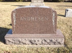
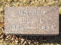
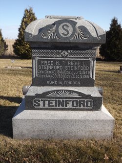
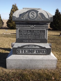
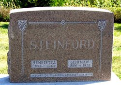
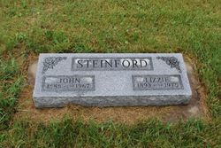
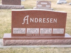
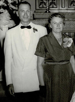
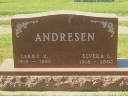
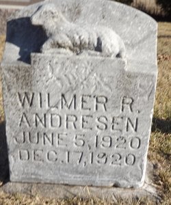
Ella Charlotte Steinford Andresen
| Birth | : | 18 Apr 1894 Keystone, Benton County, Iowa, USA |
| Death | : | 11 Nov 1985 Keystone, Benton County, Iowa, USA |
| Burial | : | Clayton Village Cemetery, Clayton, Jefferson County, USA |
| Coordinate | : | 44.2268200, -76.0769100 |
| Description | : | Ella was 91, and died at the Keystone Care Center.Surving is a son Wilbur of Keystone 5 grandchildren and 14 greatgrand children. Sevices were held at St Johns Lutheran Churc Burial in Keystone Cem. Children: Albert Lorenz, Leroy, Wilbur, Wilmar |
frequently asked questions (FAQ):
-
Where is Ella Charlotte Steinford Andresen's memorial?
Ella Charlotte Steinford Andresen's memorial is located at: Clayton Village Cemetery, Clayton, Jefferson County, USA.
-
When did Ella Charlotte Steinford Andresen death?
Ella Charlotte Steinford Andresen death on 11 Nov 1985 in Keystone, Benton County, Iowa, USA
-
Where are the coordinates of the Ella Charlotte Steinford Andresen's memorial?
Latitude: 44.2268200
Longitude: -76.0769100
Family Members:
Parent
Spouse
Siblings
Children
Flowers:
Nearby Cemetories:
1. Clayton Village Cemetery
Clayton, Jefferson County, USA
Coordinate: 44.2268200, -76.0769100
2. Saint Mary's Cemetery
Clayton, Jefferson County, USA
Coordinate: 44.2261100, -76.0761400
3. Spicer Bay Cemetery
Frontenac, Jefferson County, USA
Coordinate: 44.2534700, -76.0374600
4. Clayton Center Cemetery
Clayton Center, Jefferson County, USA
Coordinate: 44.1918700, -76.0402800
5. Saint John's Cemetery
Jefferson County, USA
Coordinate: 44.2206001, -75.9811020
6. Saint John's Cemetery
La Fargeville, Jefferson County, USA
Coordinate: 44.2205518, -75.9806575
7. Grindstone Island Lower Cemetery
Clayton, Jefferson County, USA
Coordinate: 44.2928710, -76.1167250
8. Grindstone Island Cemetery
Clayton, Jefferson County, USA
Coordinate: 44.2808200, -76.1454000
9. Corbin Cemetery
Jefferson County, USA
Coordinate: 44.1528015, -76.0757980
10. Three Mile Creek Cemetery
Clayton, Jefferson County, USA
Coordinate: 44.1533012, -76.1085968
11. Dutch Gap Lutheran Cemetery
Jefferson County, USA
Coordinate: 44.1627998, -76.0083008
12. Epps Settlement Cemetery
Clayton, Jefferson County, USA
Coordinate: 44.1627700, -76.0083500
13. Beech Ridge Cemetery
Jefferson County, USA
Coordinate: 44.2167015, -75.9633026
14. Grove Cemetery
La Fargeville, Jefferson County, USA
Coordinate: 44.1857986, -75.9736023
15. Omar Cemetery
Alexandria Center, Jefferson County, USA
Coordinate: 44.2569008, -75.9642029
16. New Depauville Memorial Cemetery
Depauville, Jefferson County, USA
Coordinate: 44.1397200, -76.0653300
17. Old Depauville Cemetery
Depauville, Jefferson County, USA
Coordinate: 44.1383300, -76.0630600
18. Sand Bay Cemetery
Cape Vincent, Jefferson County, USA
Coordinate: 44.1921997, -76.2078018
19. Hinman Cemetery
Jefferson County, USA
Coordinate: 44.2468987, -75.9336014
20. Saint Lawrence Union Cemetery
Cape Vincent, Jefferson County, USA
Coordinate: 44.1589012, -76.1952972
21. Riverside Cemetery
Alexandria, Jefferson County, USA
Coordinate: 44.3125000, -75.9677963
22. Dodge Bay Cemetery
Millen Bay, Jefferson County, USA
Coordinate: 44.1824100, -76.2273200
23. Saint Lawrence United Church Cemetery
Wolfe Island, Frontenac County, Canada
Coordinate: 44.2085080, -76.2400620
24. Harris Cemetery
Chaumont, Jefferson County, USA
Coordinate: 44.1156006, -76.1539001


