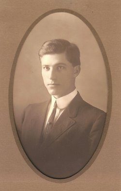
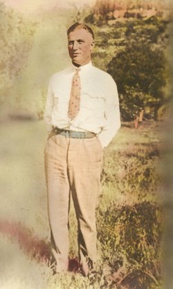
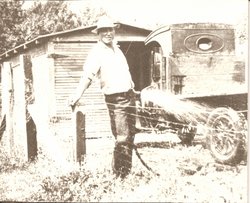
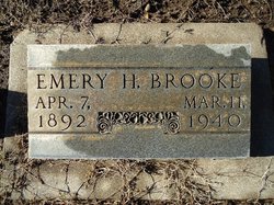
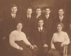
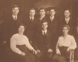
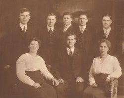
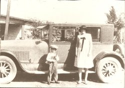
Emery H. Brooke
| Birth | : | 7 Apr 1892 Kearney, Buffalo County, Nebraska, USA |
| Death | : | 11 Mar 1940 Butte County, California, USA |
| Burial | : | Hickory Creek Cemetery, Creech, Benton County, USA |
| Coordinate | : | 36.2289009, -94.0338974 |
| Plot | : | Sec 26, Lot 738 |
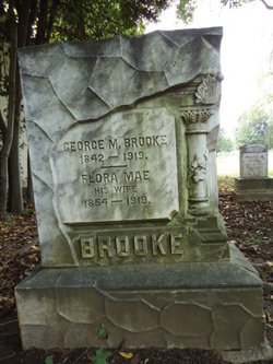
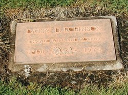
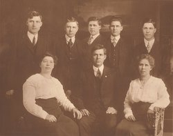
| Description | : | " ... Eleven children were born of this union: ... Emery H.; ... make their home in Chico ..." Biography of George M. Brooke, Source: "History of Butte County, Cal.," by George C. Mansfield, Pages 1249-1251, Historic Record Co, Los Angeles, CA, 1918. Emery H. Brooke and Daisy B. Wimmer got a marriage license in Solano county on April 20, 1914. After his death, Daisy remarried Robinson (she interred at Glen Oaks Mem Park). 47-year-old Emery H. Brooke was interred, per the Chico Cemetery Association Records, in the plot noted, on March 14, 1940. |
frequently asked questions (FAQ):
-
Where is Emery H. Brooke's memorial?
Emery H. Brooke's memorial is located at: Hickory Creek Cemetery, Creech, Benton County, USA.
-
When did Emery H. Brooke death?
Emery H. Brooke death on 11 Mar 1940 in Butte County, California, USA
-
Where are the coordinates of the Emery H. Brooke's memorial?
Latitude: 36.2289009
Longitude: -94.0338974
Family Members:
Parent
Spouse
Siblings
Children
Flowers:
Nearby Cemetories:
1. Hickory Creek Cemetery
Creech, Benton County, USA
Coordinate: 36.2289009, -94.0338974
2. Butler Ford Cemetery
Hickory Creek, Benton County, USA
Coordinate: 36.2090200, -94.0220300
3. Dibler Cemetery
Pleasure Heights, Benton County, USA
Coordinate: 36.2374992, -94.0072021
4. Stanley Cemetery (Defunct)
Benton County, USA
Coordinate: 36.2571983, -94.0447006
5. Wilson Cemetery
Lowell, Benton County, USA
Coordinate: 36.2108002, -94.0847015
6. Phillips Cemetery
Lowell, Benton County, USA
Coordinate: 36.2380981, -94.0960999
7. Frisco Springs Cemetery
Benton County, USA
Coordinate: 36.2714005, -94.0766983
8. Johnson Cemetery
Washington County, USA
Coordinate: 36.1731550, -94.0149680
9. Ingram Cemetery
Lowell, Benton County, USA
Coordinate: 36.2316055, -94.1059647
10. William Hope Harvey Burial Site
Monte Ne, Benton County, USA
Coordinate: 36.2854347, -94.0669327
11. Sonora Cemetery
Sonora, Washington County, USA
Coordinate: 36.1652390, -94.0409630
12. Carrel Cemetery
Washington County, USA
Coordinate: 36.1638350, -94.0232190
13. Head Family Cemetery
Washington County, USA
Coordinate: 36.1604800, -94.0120720
14. Key Cemetery (Defunct)
Benton County, USA
Coordinate: 36.2997017, -94.0192032
15. Friendship Cemetery
Springdale, Washington County, USA
Coordinate: 36.1681280, -94.0854990
16. Fitzgerald Cemetery
Springdale, Washington County, USA
Coordinate: 36.2025640, -94.1199040
17. Cloer-Harp Cemetery
Washington County, USA
Coordinate: 36.1537980, -94.0177970
18. Farrell Family Cemetery
Washington County, USA
Coordinate: 36.1525170, -94.0224950
19. War Eagle Cemetery
Rogers, Benton County, USA
Coordinate: 36.2689018, -93.9522018
20. Joyce Cemetery
Spring Valley, Washington County, USA
Coordinate: 36.1638985, -93.9785995
21. Davis Cemetery
Washington County, USA
Coordinate: 36.1526690, -94.0085080
22. Stony Point Cemetery
Rogers, Benton County, USA
Coordinate: 36.2896130, -94.1098390
23. Forest Park Cemetery
Springdale, Washington County, USA
Coordinate: 36.2024994, -94.1363983
24. Bluff Cemetery
Springdale, Washington County, USA
Coordinate: 36.1931000, -94.1327972

