
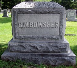
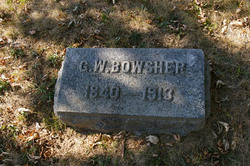
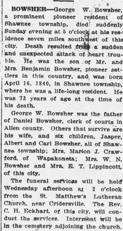


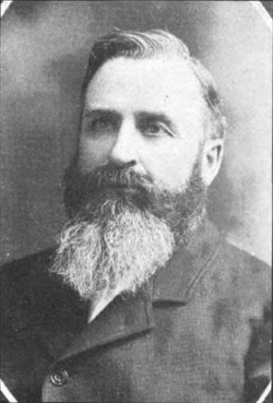
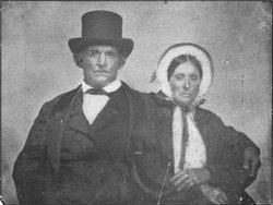
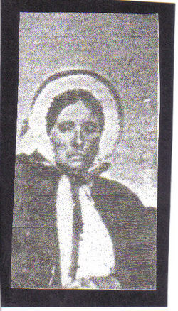
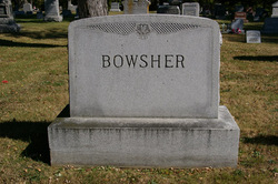
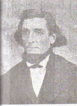
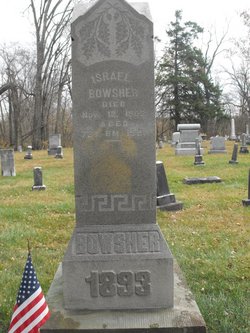
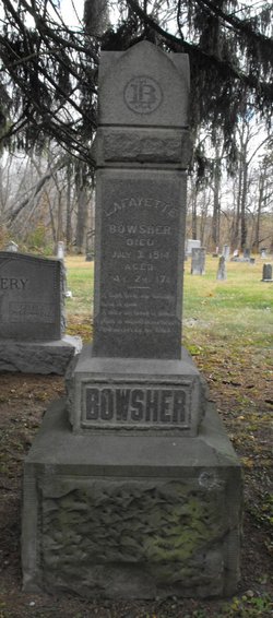
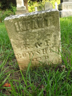
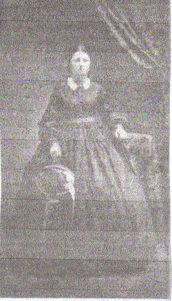
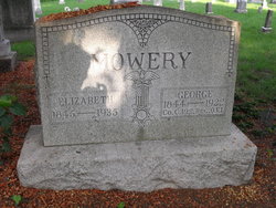
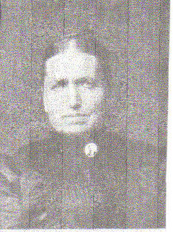
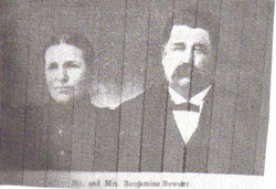
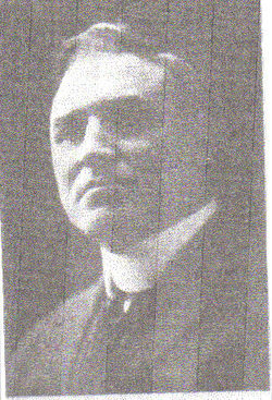
George Washington Bowsher
| Birth | : | 16 Apr 1840 Shawnee Township, Allen County, Ohio, USA |
| Death | : | 9 Nov 1913 Shawnee Township, Allen County, Ohio, USA |
| Burial | : | Blackpool Cemetery and Crematorium, Poulton-le-Fylde, Wyre Borough, England |
| Coordinate | : | 53.8465680, -3.0196600 |
| Plot | : | Section B, Row 1 |
| Description | : | The home was adjacent to that of his father, Benjamin. He was a man of fine character and of distinguised bearing. He was a prominent stockman and extensive farmer. Was a member of St Matthews. THE BOUCHER FAMILY by FRANKLIN A BURKHARDT |
frequently asked questions (FAQ):
-
Where is George Washington Bowsher's memorial?
George Washington Bowsher's memorial is located at: Blackpool Cemetery and Crematorium, Poulton-le-Fylde, Wyre Borough, England.
-
When did George Washington Bowsher death?
George Washington Bowsher death on 9 Nov 1913 in Shawnee Township, Allen County, Ohio, USA
-
Where are the coordinates of the George Washington Bowsher's memorial?
Latitude: 53.8465680
Longitude: -3.0196600
Family Members:
Parent
Spouse
Siblings
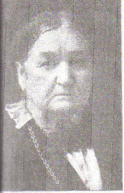
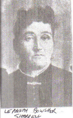
Children


Flowers:


Nearby Cemetories:
1. Blackpool Cemetery and Crematorium
Poulton-le-Fylde, Wyre Borough, England
Coordinate: 53.8465680, -3.0196600
2. All Hallow's Churchyard
Bispham, Blackpool Unitary Authority, England
Coordinate: 53.8567580, -3.0372160
3. Saint Chad Churchyard
Poulton-le-Fylde, Wyre Borough, England
Coordinate: 53.8471992, -2.9925005
4. Blackpool Jewish Cemetery
Blackpool, Blackpool Unitary Authority, England
Coordinate: 53.8287397, -3.0311753
5. St Stephen On-the-Cliffs Churchyard
Blackpool, Blackpool Unitary Authority, England
Coordinate: 53.8407230, -3.0515610
6. St Johns Roman Catholic Church Cemetery
Poulton-le-Fylde, Wyre Borough, England
Coordinate: 53.8520854, -2.9873511
7. Layton Cemetery
Blackpool, Blackpool Unitary Authority, England
Coordinate: 53.8273740, -3.0328240
8. St Paul's Church & Medical Centre
Blackpool Unitary Authority, England
Coordinate: 53.8291540, -3.0533490
9. Poulton-Le-Fylde Old Cemetery
Poulton-le-Fylde, Wyre Borough, England
Coordinate: 53.8458145, -2.9713324
10. Poulton New Cemetery
Poulton-le-Fylde, Wyre Borough, England
Coordinate: 53.8461240, -2.9689560
11. Christ Church Thornton Churchyard
Thornton-Cleveleys, Wyre Borough, England
Coordinate: 53.8772800, -3.0221100
12. St John the Evangelist Churchyard
Blackpool, Blackpool Unitary Authority, England
Coordinate: 53.8182303, -3.0508197
13. Carlton Cemetery& Crematorium
Blackpool, Blackpool Unitary Authority, England
Coordinate: 53.8095921, -3.0364920
14. Saint Paul Churchyard
Great Marton, Blackpool Unitary Authority, England
Coordinate: 53.8053220, -3.0268330
15. Marton Burial Ground
Great Marton, Blackpool Unitary Authority, England
Coordinate: 53.8030870, -3.0108350
16. St. Anne's Churchyard
Blackburn, Blackburn with Darwen Unitary Authority, England
Coordinate: 53.8381160, -2.9362870
17. St Anne Churchyard
Singleton, Fylde Borough, England
Coordinate: 53.8379280, -2.9359890
18. Holy Trinity Churchyard
Blackpool, Blackpool Unitary Authority, England
Coordinate: 53.7962949, -3.0536214
19. St James Churchyard
Stalmine, Wyre Borough, England
Coordinate: 53.9020510, -2.9533720
20. St Michael Churchyard
Weeton, Fylde Borough, England
Coordinate: 53.7995380, -2.9358020
21. Preesall Cemetery
Preesall, Wyre Borough, England
Coordinate: 53.9075410, -2.9635410
22. Fleetwood Cemetery
Fleetwood, Wyre Borough, England
Coordinate: 53.9223440, -3.0370570
23. St. Peter and St. David Churchyard
Fleetwood, Wyre Borough, England
Coordinate: 53.9238123, -3.0116212
24. St. John’s Churchyard
Out Rawcliffe, Wyre Borough, England
Coordinate: 53.8741650, -2.8959310