
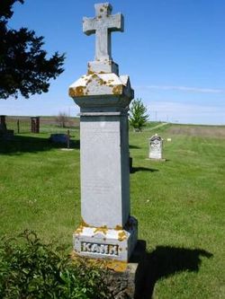
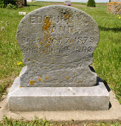
Herman Kann
| Birth | : | 1882 Jefferson Township, Clayton County, Iowa, USA |
| Death | : | 4 Jul 1908 Clayton County, Iowa, USA |
| Burial | : | Saint Michael Cemetery, Clayton County, USA |
| Coordinate | : | 42.8055992, -91.1802979 |
frequently asked questions (FAQ):
-
Where is Herman Kann's memorial?
Herman Kann's memorial is located at: Saint Michael Cemetery, Clayton County, USA.
-
When did Herman Kann death?
Herman Kann death on 4 Jul 1908 in Clayton County, Iowa, USA
-
Where are the coordinates of the Herman Kann's memorial?
Latitude: 42.8055992
Longitude: -91.1802979
Family Members:
Parent
Siblings

Flowers:


Nearby Cemetories:
1. Saint Michael Cemetery
Clayton County, USA
Coordinate: 42.8055992, -91.1802979
2. Pioneer Rock Cemetery
Ceres, Clayton County, USA
Coordinate: 42.8230591, -91.1863937
3. McClelland Cemetery
Garnavillo, Clayton County, USA
Coordinate: 42.8249879, -91.2084641
4. Borcherding Cemetery
Jefferson Township, Clayton County, USA
Coordinate: 42.8182983, -91.1414032
5. Storck Cemetery
Guttenberg, Clayton County, USA
Coordinate: 42.7694335, -91.1834638
6. Saint Paula Cemetery
Osterdock, Clayton County, USA
Coordinate: 42.7635994, -91.1992035
7. Saint Marys Cemetery
Guttenberg, Clayton County, USA
Coordinate: 42.7691994, -91.1352997
8. Tangeman Family Cemetery
Garnavillo, Clayton County, USA
Coordinate: 42.8580000, -91.1420000
9. Mount Olivet Cemetery
Guttenberg, Clayton County, USA
Coordinate: 42.7764840, -91.1083560
10. Lewis Cemetery
Osterdock, Clayton County, USA
Coordinate: 42.7416000, -91.1834000
11. Guttenberg Cemetery
Guttenberg, Clayton County, USA
Coordinate: 42.7691994, -91.1035995
12. Garnavillo Cemetery
Garnavillo, Clayton County, USA
Coordinate: 42.8660300, -91.2390100
13. Saint Johns Cemetery
Jefferson Township, Clayton County, USA
Coordinate: 42.7497000, -91.1133000
14. Garnavillo Community Cemetery
Garnavillo, Clayton County, USA
Coordinate: 42.8656000, -91.2422100
15. Old Garber Cemetery
Garber, Clayton County, USA
Coordinate: 42.7560005, -91.2580032
16. Saint Joseph Cemetery
Garnavillo, Clayton County, USA
Coordinate: 42.8628006, -91.2502975
17. Old Saint Marys Cemetery
Glen Haven, Grant County, USA
Coordinate: 42.8078100, -91.0675330
18. Duncan Cemetery
Glen Haven, Grant County, USA
Coordinate: 42.8325540, -91.0725940
19. Krumm Cemetery
Garber, Clayton County, USA
Coordinate: 42.7913760, -91.3023559
20. Immanuel Lutheran Cemetery
Elkport, Clayton County, USA
Coordinate: 42.7433014, -91.2733002
21. Saint Michaels Cemetery
Elkport, Clayton County, USA
Coordinate: 42.7433014, -91.2733002
22. Clayton Cemetery
Clayton, Clayton County, USA
Coordinate: 42.9043999, -91.1641998
23. Bethel Cemetery
Osterdock, Clayton County, USA
Coordinate: 42.7041702, -91.1688919
24. Bierer Cemetery
Millville, Clayton County, USA
Coordinate: 42.7230500, -91.0925166