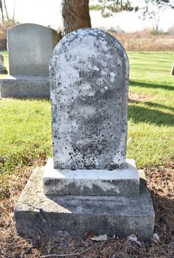
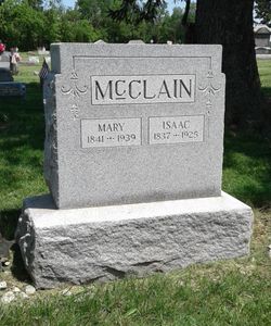
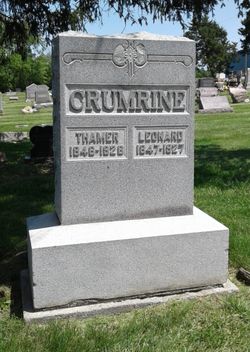
| Birth | : | 29 Feb 1844 |
| Death | : | 8 Mar 1920 |
| Burial | : | DeSoto Cemetery, De Soto, Johnson County, USA |
| Coordinate | : | 38.9710999, -94.9882965 |
| Description | : | John Crumrine was first a farmer, later bought and sold real estate mortgages, and lastly was director of the Allen County Savings & Loan Assn. John and Emma moved at the turn of the century from a large farm to Lima, Ohio, where they lived with their seven children, Bronson Elmore, Charles Edgar, Frank Martin, James Howard, Stella Belle, Alice Maude, and Delbert Ray. |
frequently asked questions (FAQ):
-
Where is John Edgar Crumrine's memorial?
John Edgar Crumrine's memorial is located at: DeSoto Cemetery, De Soto, Johnson County, USA.
-
When did John Edgar Crumrine death?
John Edgar Crumrine death on 8 Mar 1920 in
-
Where are the coordinates of the John Edgar Crumrine's memorial?
Latitude: 38.9710999
Longitude: -94.9882965
Family Members:
Parent
Spouse
Siblings
Children
Flowers:
Nearby Cemetories:
1. DeSoto Cemetery
De Soto, Johnson County, USA
Coordinate: 38.9710999, -94.9882965
2. Chance Cemetery
Linwood, Leavenworth County, USA
Coordinate: 39.0018997, -95.0156021
3. Mount Sidney Cemetery
Linwood, Leavenworth County, USA
Coordinate: 39.0017014, -95.0243988
4. Lenape Cemetery
Lenape, Leavenworth County, USA
Coordinate: 39.0074997, -94.9602966
5. Cedar Junction Cemetery
Cedar, Johnson County, USA
Coordinate: 38.9776800, -94.9339500
6. Union Congregational Cemetery
Linwood, Leavenworth County, USA
Coordinate: 39.0013351, -95.0370407
7. Sarcoxie Cemetery
Linwood, Leavenworth County, USA
Coordinate: 39.0410995, -95.0186005
8. Delaware Cemetery
Linwood, Leavenworth County, USA
Coordinate: 38.9642982, -95.0936356
9. Eudora City Cemetery
Eudora, Douglas County, USA
Coordinate: 38.9455986, -95.0892029
10. Murphy Cemetery
Lenexa, Johnson County, USA
Coordinate: 38.9709282, -94.8816986
11. Prairie Center Cemetery
De Soto, Johnson County, USA
Coordinate: 38.8925018, -95.0286026
12. Holy Family Cemetery
Eudora, Douglas County, USA
Coordinate: 38.9438050, -95.0933570
13. Villa Eden Cemetery
Fall Leaf, Leavenworth County, USA
Coordinate: 38.9928500, -95.0985000
14. Hesper Friends Church Cemetery
Hesper, Douglas County, USA
Coordinate: 38.8984413, -95.0635910
15. Elm Grove Cemetery
Mahon, Leavenworth County, USA
Coordinate: 39.0582085, -94.9450150
16. Luckan Family Cemetery
Fall Leaf, Leavenworth County, USA
Coordinate: 38.9808500, -95.1128000
17. Southwest City Cemetery
Eudora, Douglas County, USA
Coordinate: 38.9334800, -95.1070300
18. Monticello Union Cemetery
Shawnee, Johnson County, USA
Coordinate: 38.9920311, -94.8617020
19. Shawnee Mission Memory Gardens
Shawnee, Johnson County, USA
Coordinate: 38.9923210, -94.8573914
20. Cemetery Beni Israel
Eudora, Douglas County, USA
Coordinate: 38.9280128, -95.1122208
21. Boles Cemetery
Wilder, Johnson County, USA
Coordinate: 39.0292168, -94.8723450
22. Smith Burial Site
Lenexa, Johnson County, USA
Coordinate: 38.9319730, -94.8530820
23. Adams Burial Ground
Gardner, Johnson County, USA
Coordinate: 38.8579483, -95.0384140
24. Old Monticello Cemetery
Shawnee, Johnson County, USA
Coordinate: 38.9951973, -94.8359833

