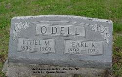
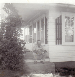
| Birth | : | 9 Oct 1850 Ray County, Missouri, USA |
| Death | : | 21 Dec 1919 Ray County, Missouri, USA |
| Burial | : | O'Dell Cemetery, Excelsior Springs, Ray County, USA |
| Coordinate | : | 39.2995987, -94.1346970 |
frequently asked questions (FAQ):
-
Where is Mary Jane Clark O'Dell's memorial?
Mary Jane Clark O'Dell's memorial is located at: O'Dell Cemetery, Excelsior Springs, Ray County, USA.
-
When did Mary Jane Clark O'Dell death?
Mary Jane Clark O'Dell death on 21 Dec 1919 in Ray County, Missouri, USA
-
Where are the coordinates of the Mary Jane Clark O'Dell's memorial?
Latitude: 39.2995987
Longitude: -94.1346970
Family Members:
Spouse
Children
Nearby Cemetories:
1. O'Dell Cemetery
Excelsior Springs, Ray County, USA
Coordinate: 39.2995987, -94.1346970
2. Rock Falls Church Cemetery
Elkhorn, Ray County, USA
Coordinate: 39.2893500, -94.1221800
3. Cravens Headstone
Ray County, USA
Coordinate: 39.3134300, -94.1080300
4. Pettus Cemetery
Elkhorn, Ray County, USA
Coordinate: 39.2935982, -94.0988998
5. Hamilton Cemetery
Ray County, USA
Coordinate: 39.3107986, -94.1007996
6. Rowland Cemetery
Ray County, USA
Coordinate: 39.2694016, -94.1389008
7. Old New Garden Primitive Baptist Cemetery
Wood Heights, Ray County, USA
Coordinate: 39.3227005, -94.1669006
8. North New Garden Primitive Baptist Church Cemetery
Wood Heights, Ray County, USA
Coordinate: 39.3271027, -94.1648026
9. Brand Family Cemetery
Richmond, Ray County, USA
Coordinate: 39.2864600, -94.0908800
10. Windy Hill Cemetery
Wood Heights, Ray County, USA
Coordinate: 39.3407364, -94.1462250
11. Covey Cemetery
Ray County, USA
Coordinate: 39.2702713, -94.0865707
12. JB Tombstone
Richmond, Ray County, USA
Coordinate: 39.2702713, -94.0865707
13. Bogart Family Cemetery
Ray County, USA
Coordinate: 39.2644400, -94.1777800
14. Siegel Cemetery
Excelsior Springs, Ray County, USA
Coordinate: 39.2943993, -94.1977997
15. Riffe Cemetery
Orrick, Ray County, USA
Coordinate: 39.2514000, -94.1492004
16. Pisgah Cemetery
Wood Heights, Ray County, USA
Coordinate: 39.3376846, -94.1775055
17. Cox Cemetery
Wood Heights, Ray County, USA
Coordinate: 39.3368988, -94.1819000
18. John Clevenger Cemetery
Crystal Lakes, Ray County, USA
Coordinate: 39.3551300, -94.1540600
19. John Cleavenger Cemetery
Crystal Lakes, Ray County, USA
Coordinate: 39.3551407, -94.1542053
20. Gordon Cemetery
Orrick, Ray County, USA
Coordinate: 39.2552986, -94.0871964
21. Tucker-Gryder Cemetery
Richmond, Ray County, USA
Coordinate: 39.2411800, -94.1198700
22. Sanderson Cemetery
Rayville, Ray County, USA
Coordinate: 39.3333015, -94.0699997
23. Clevenger Cemetery
Crystal Lakes, Ray County, USA
Coordinate: 39.3600006, -94.1560974
24. Hamers Farm Cemetery
Ray County, USA
Coordinate: 39.3560400, -94.1762900

