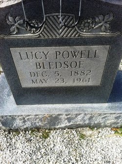
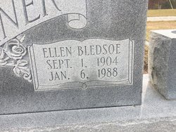
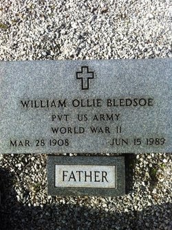
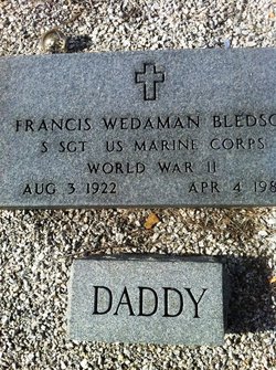
| Birth | : | 3 Dec 1916 Edgefield, Edgefield County, South Carolina, USA |
| Death | : | 8 Dec 2010 Conway, Horry County, South Carolina, USA |
| Burial | : | St Peter Churchyard, Harswell, East Riding of Yorkshire Unitary Authority, England |
| Coordinate | : | 53.8573320, -0.7556910 |
| Description | : | Mattie Belle Smith, 94, passed away peacefully on December 8, 2010, at home in Murrells Inlet, South Carolina. She was the wife of the late Woodrow Walter Smith. Mrs. Smith was born December 3, 1916, in Edgefield, South Carolina. She was a member of Salem Baptist Church in Conway. Surviving is her loving family including two daughters, Carole Jean LeGette and Patricia Johnston; and one son, Wendell Smith and his wife, Pam; 11 grandchildren; 15 great-grandchildren; and two great-great grandchildren. She was preceded in death by a son, Lynn; a daughter, Linda; and many brothers and sisters. Funeral services will... Read More |
frequently asked questions (FAQ):
-
Where is Mattie Belle Bledsoe Smith's memorial?
Mattie Belle Bledsoe Smith's memorial is located at: St Peter Churchyard, Harswell, East Riding of Yorkshire Unitary Authority, England.
-
When did Mattie Belle Bledsoe Smith death?
Mattie Belle Bledsoe Smith death on 8 Dec 2010 in Conway, Horry County, South Carolina, USA
-
Where are the coordinates of the Mattie Belle Bledsoe Smith's memorial?
Latitude: 53.8573320
Longitude: -0.7556910
Family Members:
Parent
Spouse
Siblings
Children
Flowers:
Nearby Cemetories:
1. St Peter Churchyard
Harswell, East Riding of Yorkshire Unitary Authority, England
Coordinate: 53.8573320, -0.7556910
2. All Saints Churchyard
Holme-on-Spalding-Moor, East Riding of Yorkshire Unitary Authority, England
Coordinate: 53.8401222, -0.7544300
3. St Everilda Churchyard
Everingham, East Riding of Yorkshire Unitary Authority, England
Coordinate: 53.8707810, -0.7785920
4. St. Mary and St. Everilda Roman Catholic Cemetery
Everingham, East Riding of Yorkshire Unitary Authority, England
Coordinate: 53.8746294, -0.7772709
5. St Martin Churchyard
Hayton, East Riding of Yorkshire Unitary Authority, England
Coordinate: 53.9038010, -0.7518530
6. St Giles Churchyard
Burnby, East Riding of Yorkshire Unitary Authority, England
Coordinate: 53.9067790, -0.7292650
7. All Saints Churchyard
Londesborough, East Riding of Yorkshire Unitary Authority, England
Coordinate: 53.8973660, -0.6796290
8. All Saints Churchyard
Goodmanham, East Riding of Yorkshire Unitary Authority, England
Coordinate: 53.8768150, -0.6485010
9. St Botolph Churchyard
Allerthorpe, East Riding of Yorkshire Unitary Authority, England
Coordinate: 53.9171530, -0.8052080
10. St Catherine Churchyard
Barmby Moor, East Riding of Yorkshire Unitary Authority, England
Coordinate: 53.9307670, -0.8189520
11. St Oswald Churchyard
Hotham, East Riding of Yorkshire Unitary Authority, England
Coordinate: 53.7999020, -0.6434850
12. Eastrington Cemetery
Eastrington, East Riding of Yorkshire Unitary Authority, England
Coordinate: 53.7606920, -0.7922500
13. St Michael Churchyard
Eastrington, East Riding of Yorkshire Unitary Authority, England
Coordinate: 53.7599690, -0.7931110
14. All Saints Churchyard
Bubwith, East Riding of Yorkshire Unitary Authority, England
Coordinate: 53.8170680, -0.9200130
15. St Mary Churchyard
East Cottingwith, East Riding of Yorkshire Unitary Authority, England
Coordinate: 53.8738030, -0.9317490
16. Quaker Cemetery
East Cottingwith, East Riding of Yorkshire Unitary Authority, England
Coordinate: 53.8746050, -0.9327040
17. St Mary and St Lawrence Churchyard
Ellerton, East Riding of Yorkshire Unitary Authority, England
Coordinate: 53.8499000, -0.9347520
18. All Saints Churchyard
Aughton, East Riding of Yorkshire Unitary Authority, England
Coordinate: 53.8393490, -0.9352200
19. St Helen Churchyard
Thorganby, Selby District, England
Coordinate: 53.8666100, -0.9530300
20. St Ethelburga Churchyard
Great Givendale, East Riding of Yorkshire Unitary Authority, England
Coordinate: 53.9745030, -0.7617170
21. Holy Trinity Churchyard
Elvington, York Unitary Authority, England
Coordinate: 53.9186950, -0.9341610
22. St Martin Churchyard
Fangfoss, East Riding of Yorkshire Unitary Authority, England
Coordinate: 53.9704970, -0.8324690
23. St Helen Churchyard
Wheldrake, York Unitary Authority, England
Coordinate: 53.8965340, -0.9626520
24. St. Edith Churchyard
Bishop Wilton, East Riding of Yorkshire Unitary Authority, England
Coordinate: 53.9862300, -0.7838500


