Shepard Perkins
| Birth | : | 1772 Bridgewater, Plymouth County, Massachusetts, USA |
| Death | : | 3 Jul 1817 Brockton, Plymouth County, Massachusetts, USA |
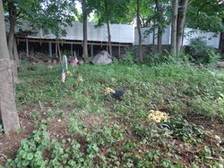
| Burial | : | Prairie Chapel Church Cemetery, Coshocton, Coshocton County, USA |
| Coordinate | : | 40.3049000, -81.9124000 |
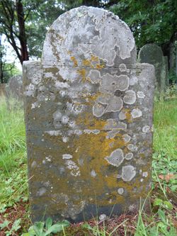
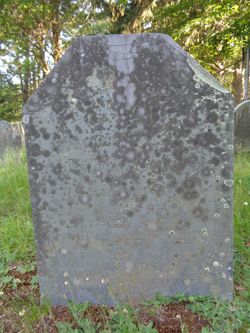
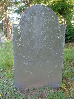
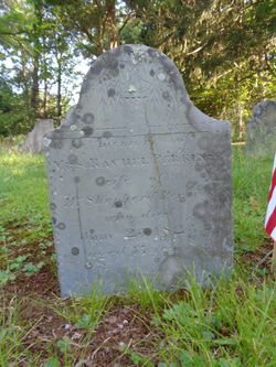
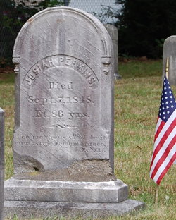
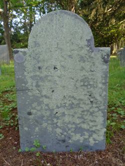
| Inscription | : | Shepherd, July 3, 1817, a. 45 |
| Description | : | Shepard was the son of Josiah and Abigail (Edson) Perkins. Shepard was baptised on April 19, 1772 at the Fourth Church of Christ of Bridgewater, now the First Congregational Church of Brockton. Shepard married Rachel Perkins on June 25, 1797 in North Bridgewater, Plymouth Co., Massachusetts. They were the parents of four children. |
frequently asked questions (FAQ):
-
Where is Shepard Perkins's memorial?
Shepard Perkins's memorial is located at: Prairie Chapel Church Cemetery, Coshocton, Coshocton County, USA.
-
When did Shepard Perkins death?
Shepard Perkins death on 3 Jul 1817 in Brockton, Plymouth County, Massachusetts, USA
-
Where are the coordinates of the Shepard Perkins's memorial?
Latitude: 40.3049000
Longitude: -81.9124000
Family Members:
Parent
Spouse
Siblings
Flowers:
Nearby Cemetories:
1. Machpelahs Burial Acres
Keene, Coshocton County, USA
Coordinate: 40.3208950, -81.9126210
2. Bible Cemetery
Keene, Coshocton County, USA
Coordinate: 40.3330380, -81.8990940
3. Roscoe Cemetery
Coshocton, Coshocton County, USA
Coordinate: 40.2821000, -81.8841000
4. Unidentified Cemetery #1
Coshocton, Coshocton County, USA
Coordinate: 40.2753080, -81.8803050
5. Caldersburg Cemetery
Roscoe, Coshocton County, USA
Coordinate: 40.2755390, -81.8798700
6. Oak Ridge Cemetery
Coshocton, Coshocton County, USA
Coordinate: 40.2780991, -81.8610992
7. Keene Methodist Cemetery
Keene, Coshocton County, USA
Coordinate: 40.3431800, -81.8662500
8. Waring Cemetery
Metham, Coshocton County, USA
Coordinate: 40.3505580, -81.9470740
9. Keene Old Presbyterian Church Cemetery
Coshocton County, USA
Coordinate: 40.3480700, -81.8707900
10. Blooming Grove Cemetery
Randle, Coshocton County, USA
Coordinate: 40.3017006, -81.9843979
11. Pleasant Hill Baptist Cemetery
Coshocton, Coshocton County, USA
Coordinate: 40.2547380, -81.9496810
12. Canal Lewisville Cemetery
Canal Lewisville, Coshocton County, USA
Coordinate: 40.3012500, -81.8357100
13. Foster-Lowary-McCullough Cemetery
Coshocton County, USA
Coordinate: 40.2708400, -81.9761450
14. Mount Zion Methodist Church Cemetery
Metham, Coshocton County, USA
Coordinate: 40.3559580, -81.9522140
15. Casebeer Cemetery
Metham, Coshocton County, USA
Coordinate: 40.3629220, -81.9360840
16. Antioch Cemetery
Coshocton County, USA
Coordinate: 40.3046989, -81.9933014
17. Reamer Cemetery
Coshocton County, USA
Coordinate: 40.3194008, -81.8317032
18. South Lawn Cemetery
Coshocton, Coshocton County, USA
Coordinate: 40.2560997, -81.8597031
19. Coshocton County Memory Gardens
Coshocton, Coshocton County, USA
Coordinate: 40.3234825, -81.8310089
20. Warner Methodist Cemetery
Conesville, Coshocton County, USA
Coordinate: 40.2389520, -81.9109620
21. Smith-McCoy Cemetery
Roscoe, Coshocton County, USA
Coordinate: 40.2508450, -81.9642690
22. Bateman Cemetery
Warsaw, Coshocton County, USA
Coordinate: 40.3483840, -81.9876370
23. Christian Chapel Cemetery
Coshocton County, USA
Coordinate: 40.2271470, -81.9263480
24. Dutch Meeting House Cemetery
Warsaw, Coshocton County, USA
Coordinate: 40.3796207, -81.9459337

