
| Memorials | : | 0 |
| Location | : | Akkerwoude, Dantumadeel Municipality, Netherlands |
| Coordinate | : | 53.2909300, 5.9779800 |
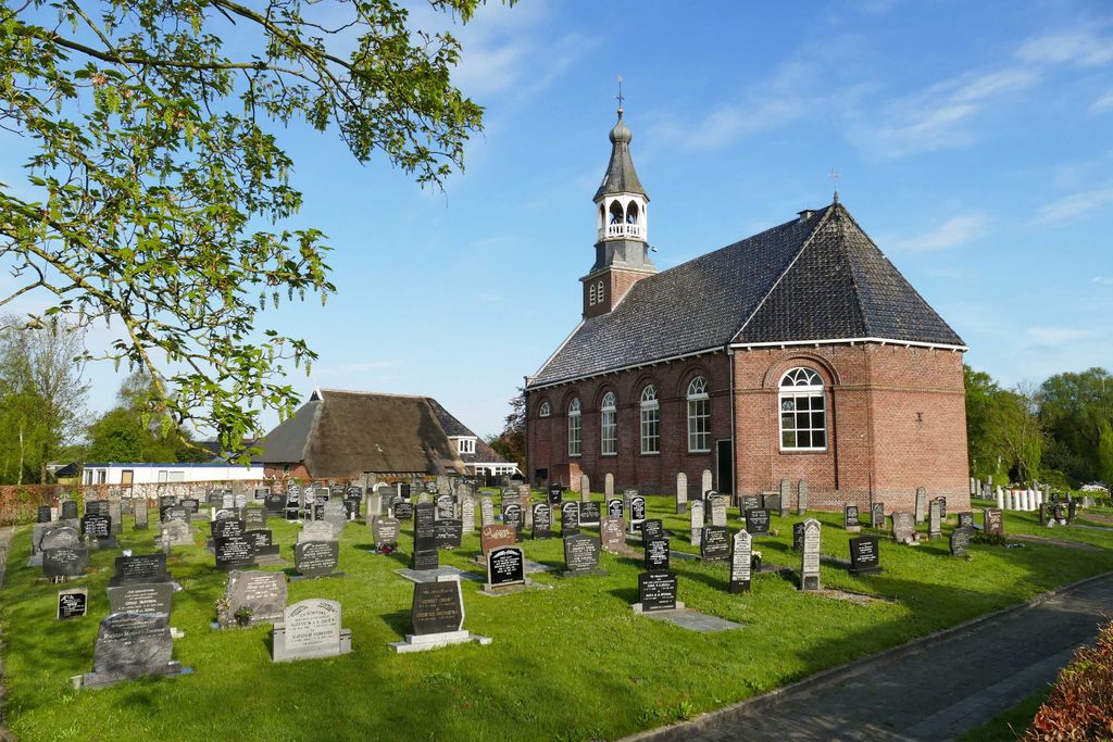
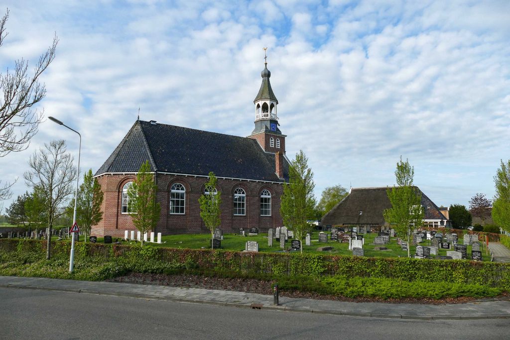
| Description | : | Dantumadeel is a commune comprising three villages namely, Damwoude, Veenwouden and Zwaagwesteinde. Damwoude is 5 kms south of Dokkum and 24 kms north-east of Leeuwarden. The Churchyard is located in the Voorweg. |
frequently asked questions (FAQ):
-
Where is Akkerwoude Protestant Churchyard?
Akkerwoude Protestant Churchyard is located at Akkerwoude, Dantumadeel Municipality ,Friesland ,Netherlands.
-
Akkerwoude Protestant Churchyard cemetery's updated grave count on graveviews.com?
0 memorials
-
Where are the coordinates of the Akkerwoude Protestant Churchyard?
Latitude: 53.2909300
Longitude: 5.9779800
Nearby Cemetories:
1. Damwoude General Cemetery
Damwâld, Dantumadeel Municipality, Netherlands
Coordinate: 53.2857700, 5.9996900
2. Rêsthôf Broeksterwâld
Broeksterwoude, Dantumadeel Municipality, Netherlands
Coordinate: 53.2758766, 5.9907295
3. Kerkhof Alexanderkerk Rinsumageest
Rinsumageest, Dantumadeel Municipality, Netherlands
Coordinate: 53.2959488, 5.9429579
4. Kloosterkapel begraafplaats
Sibrandahûs, Dantumadeel Municipality, Netherlands
Coordinate: 53.3111878, 5.9425346
5. Rêsthôf Driezum
Driezum, Dantumadeel Municipality, Netherlands
Coordinate: 53.2948039, 6.0418101
6. Raard Protestant Churchyard
Raard, Dongeradeel Municipality, Netherlands
Coordinate: 53.3254600, 5.9444900
7. Driesum Protestant Churchyard
Driezum, Dantumadeel Municipality, Netherlands
Coordinate: 53.2977400, 6.0460900
8. It Readtsjerkje hôf
Readtsjerk, Dantumadeel Municipality, Netherlands
Coordinate: 53.2562756, 5.9332706
9. Kerkhof Nederlands Hervormde kerk De Westereen
Zwaagwesteinde, Dantumadeel Municipality, Netherlands
Coordinate: 53.2583297, 6.0348107
10. Begraafplaats Zwaagwesteinde
Zwaagwesteinde, Dantumadeel Municipality, Netherlands
Coordinate: 53.2580833, 6.0351062
11. Tsjerkhôf Jannum
Jannum, Ferwerderadiel Municipality, Netherlands
Coordinate: 53.3126308, 5.9027619
12. Begraafplaats De Westereen
Zwaagwesteinde, Dantumadeel Municipality, Netherlands
Coordinate: 53.2497819, 6.0273741
13. Petruskerkhof
Lichtaard, Ferwerderadiel Municipality, Netherlands
Coordinate: 53.3263379, 5.9135862
14. Begraafplaats te Veenwouden Cemetery
Feanwâlden, Dantumadeel Municipality, Netherlands
Coordinate: 53.2390761, 5.9921180
15. Feanwâlden Bûtefjild Cemetery
Feanwâlden, Dantumadeel Municipality, Netherlands
Coordinate: 53.2378864, 5.9815750
16. Begraafplaats Aldtsjerk
Aldtsjerk, Tytsjerksteradiel Municipality, Netherlands
Coordinate: 53.2648500, 5.8887300
17. Marijetsjerke Begraafplaats
Oenkerk, Tytsjerksteradiel Municipality, Netherlands
Coordinate: 53.2537643, 5.8927362
18. Kerkhof Nederlands Hervormde Begraafplaats
Kollumerzwaag, Kollumerland en Nieuwkruisland Municipality, Netherlands
Coordinate: 53.2619801, 6.0736539
19. Westergeest Protestant Churchyard
Westergeest, Kollumerland en Nieuwkruisland Municipality, Netherlands
Coordinate: 53.2902000, 6.0856800
20. Sint-Vituskerk Churchyard
Wetzens, Dongeradeel Municipality, Netherlands
Coordinate: 53.3467450, 6.0345649
21. Begraafplaats Twijzelerheide
Twijzelerheide, Achtkarspelen Municipality, Netherlands
Coordinate: 53.2413444, 6.0525175
22. Atelierkerk
Ginnum, Ferwerderadiel Municipality, Netherlands
Coordinate: 53.3231763, 5.8745312
23. Hoftsjerke begraafplaats
Hurdegaryp, Tytsjerksteradiel Municipality, Netherlands
Coordinate: 53.2175817, 5.9445193
24. Kerkhof Petruskerk
Wanswerd, Ferwerderadiel Municipality, Netherlands
Coordinate: 53.3009375, 5.8496879