
| Memorials | : | 0 |
| Location | : | Thelwall, Warrington Unitary Authority, England |
| Coordinate | : | 53.3822300, -2.5282700 |
| Description | : | The bulk of these memorials were taken from "Monumental Inscriptions in the Churchyard of Thelwall, Cheshire, England" gathered in England under the direction of the British Mission Genealogical Board in 1948, typed by the Genealogical Society, Salt Lake City, Utah. In May 2015 a photographic survey was completed for the cemetery. Photographs have been added to the memorials, many graves have been added and numerous errors were noted when comparing the 1948 MI transcriptions to the photographs. Some of the errors have been corrected. More may not have been. Please contact the monument manager to note... Read More |
frequently asked questions (FAQ):
-
Where is All Saints Churchyard?
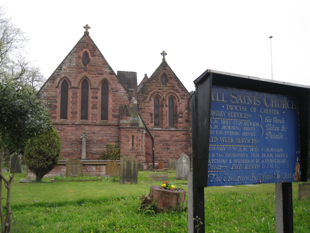
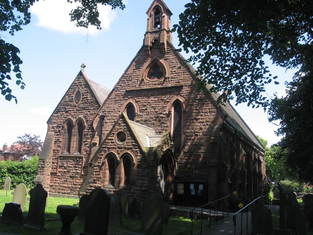
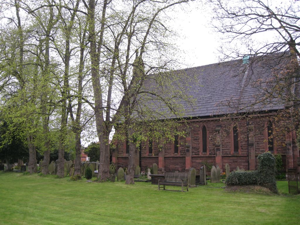
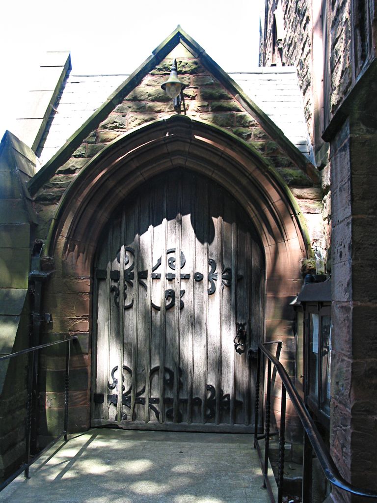
All Saints Churchyard is located at Thelwall, Warrington Unitary Authority ,Cheshire ,England.
-
All Saints Churchyard cemetery's updated grave count on graveviews.com?
0 memorials
-
Where are the coordinates of the All Saints Churchyard?
Latitude: 53.3822300
Longitude: -2.5282700


Nearby Cemetories:
1. St Wilfrid's Churchyard
Grappenhall, Warrington Unitary Authority, England
Coordinate: 53.3723000, -2.5434000
2. Saint Mary's Churchyard
Lymm, Warrington Unitary Authority, England
Coordinate: 53.3771000, -2.4784000
3. Christ Church Graveyard
Padgate, Warrington Unitary Authority, England
Coordinate: 53.4072619, -2.5565873
4. Warrington Cemetery
Warrington, Warrington Unitary Authority, England
Coordinate: 53.3964660, -2.5730780
5. St. Elphin's Churchyard
Warrington, Warrington Unitary Authority, England
Coordinate: 53.3909750, -2.5800370
6. Appleton Thorn St. Cross Churchyard
Appleton, Warrington Unitary Authority, England
Coordinate: 53.3501000, -2.5455000
7. St Thomas Churchyard
Stockton Heath, Warrington Unitary Authority, England
Coordinate: 53.3723200, -2.5823800
8. Lymm Baptist Churchyard
Lymm, Warrington Unitary Authority, England
Coordinate: 53.3765240, -2.4724300
9. Hill Cliffe Cemetery
Warrington, Warrington Unitary Authority, England
Coordinate: 53.3611905, -2.5842857
10. St. Peter's Parish Churchyard
Lymm, Warrington Unitary Authority, England
Coordinate: 53.3802800, -2.4610000
11. Fox Covert Cemetery
Warrington, Warrington Unitary Authority, England
Coordinate: 53.3607300, -2.5856900
12. Saint Werburgh's Churchyard
Warburton, Metropolitan Borough of Trafford, England
Coordinate: 53.4021610, -2.4572830
13. Walton Lea Crematorium
Warrington, Warrington Unitary Authority, England
Coordinate: 53.3624630, -2.6016730
14. Saint Matthew's Churchyard
Stretton, Warrington Unitary Authority, England
Coordinate: 53.3403000, -2.5717310
15. St. John The Evangelist Churchyard
Walton, Warrington Unitary Authority, England
Coordinate: 53.3626750, -2.6052020
16. Risley Presbyterian Church Churchyard
Warrington Unitary Authority, England
Coordinate: 53.4322500, -2.5283880
17. St. Barnabas Churchyard
Warrington Unitary Authority, England
Coordinate: 53.3920038, -2.6121106
18. Unitarian Chapel
Croft, Warrington Unitary Authority, England
Coordinate: 53.4345995, -2.5440079
19. Hollinfare Cemetery
Rixton with Glazebrook, Warrington Unitary Authority, England
Coordinate: 53.4165900, -2.4575100
20. Christ Church Churchyard
Warrington, Warrington Unitary Authority, England
Coordinate: 53.4376659, -2.5428132
21. Winwick Hospital Churchyard
Warrington Unitary Authority, England
Coordinate: 53.4265000, -2.6050000
22. St. Oswald Churchyard
Winwick, Warrington Unitary Authority, England
Coordinate: 53.4309200, -2.5972200
23. Newchurch Parish Church
Culcheth, Warrington Unitary Authority, England
Coordinate: 53.4505900, -2.5105500
24. Holy Trinity Churchyard
Little Bollington, Cheshire East Unitary Authority, England
Coordinate: 53.3744640, -2.4121950